10 Must-Do Easy Hikes in Mount Rainier National Park
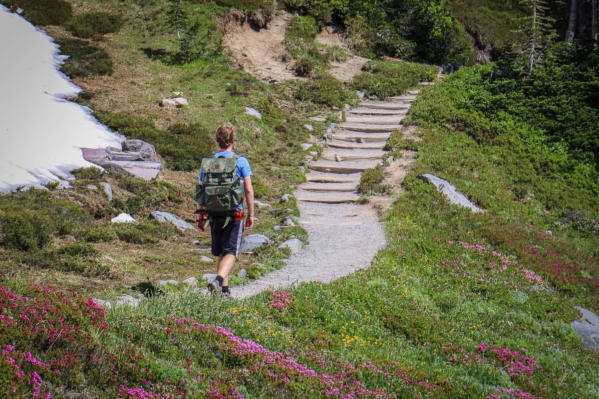
To truly immerse yourself in the majestic landscapes at Mount Rainier, there’s no better way than hitting the park’s trails.
In this blog post, I’ve compiled the best short and easy hikes in Mount Rainier National Park, from woodland walks to lakeshore strolls and meadow meanderings.
You don’t necessarily need to head deep into the Mount Rainier National Park wilderness to experience what the park is all about. Even on short hikes, you can (usually) get away from the busy roadside crowds.
If you don’t have enough time to do a longer hike, or for people with limited physical abilities or families with children, the following short and easy hikes in Mount Rainier National Park are absolutely perfect.
This listing is based on my own experiences visiting the park, which is one of my absolute favorite U.S. national parks.
I’ve been to Mount Rainier several times, including every season, and explored most of the park’s trails, some of which more than once.
This blog post about the best easy hikes in Mount Rainier National Park contains affiliate links. You can read more about our Terms of Use / Disclosure here.
Top Easy Hiking Trails in Mount Rainier National Park
You can find easy hikes throughout Mount Rainier National Park. Essentially every major visitor area—Longmire, Paradise, Ohanapecosh, Sunrise, and Mowich Lake—has one or more easy trails, which are suitable to most visitors.
There are also easy hikes in between those main areas, which are excellent stopping points when driving through the park. Especially the Grove of the Patriarchs and Tipsoo Lake are phenomenal, but more on those below.
What Qualifies As an Easy Hike?
I determine whether a trail qualifies as “easy” based on a combination of criteria. Typically, I consider an easy trail to have at least two of the following three characteristics:
- Distance: 3 miles roundtrip or shorter
- Elevation gain: 300 feet or less
- Total hiking time: 1.5 hours or under
All of the easy hikes in Mount Rainier National Park below meet all of these criteria. Moreover, most of them are even significantly less long or steep.
10 Best Short and Easy Hikes in Mount Rainier National Park
1. Twin Firs Trail
When entering Mount Rainier National Park via the Nisqually Entrance in the southwest, the Twin Firs Trail is one of the first stops on the way.
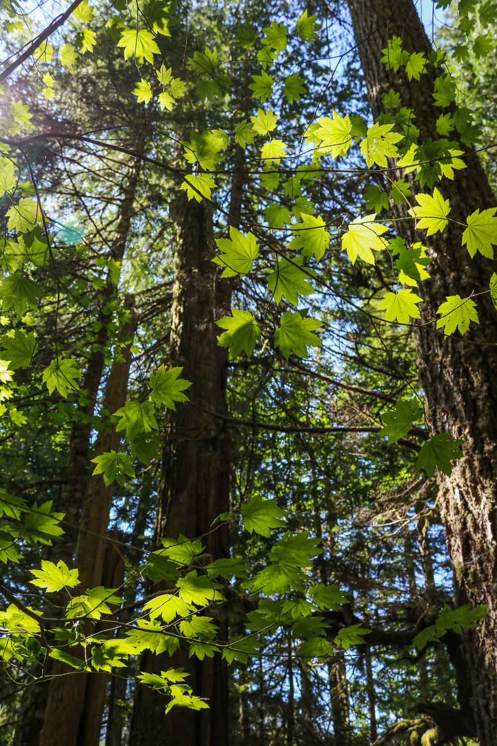
As far as easy hikes at Mount Rainier go, this is one of the shortest. The Twin Firs Trail is only 0.4 miles long, a beautiful loop through the park’s old-growth forest.
The trail got its name from two noteworthy fir trees—the “twin firs”—which no longer exist nowadays. However, this short and scenic hike still offers a wonderful immersion in a towering forest.
When walking the trail, look for the “big three” conifer species: western hemlock, western red cedar, and Douglas fir.
Although it’s a very short hike, a section of the Twin Firs Trail is fairly steep. After ascending the slope, you’ll cross a log footbridge across a creek before walking back down to the trailhead.
- Location: Between the Nisqually Entrance and Longmire
- Trailhead: 5 miles east of the Nisqually Entrance, 2 miles west of Longmire
- Distance: 0.4 miles (loop)
- Elevation gain: 80 feet
- Total hiking time: 15 minutes
2. Trail of the Shadows
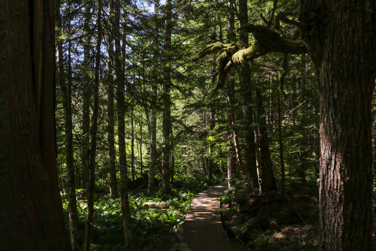
One of my personal favorite easy forest hikes in Mount Rainier National Park, the Trail of the Shadow is a wonderful pairing with the Twin Firs Trail above.
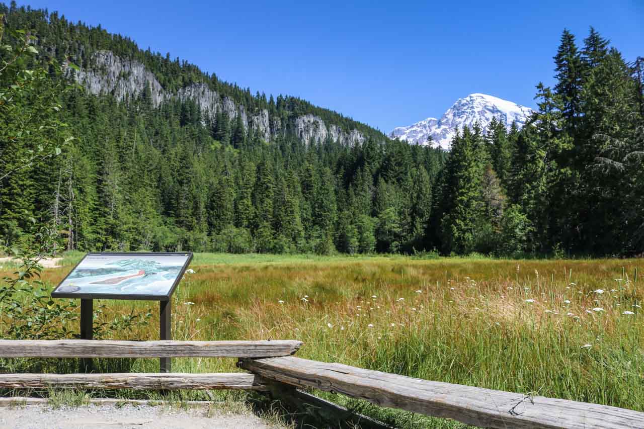
This beautiful self-guided trail loops around Longmire Meadow and through a nice old-growth forest.
There’s no elevation gain to speak of, making this a great and easy hike for almost everyone. (It is an unpaved woodland trail, though, so it’s not wheelchair-accessible.)
Highlights along the Trail of the Shadows include mineral springs, a replica of an early homestead cabin, and potential wildlife sightings, including deer, beavers, and various birds.
From Longmire Meadow, you can see the top of Mount Rainier peaking above the trees.
- Location: Longmire
- Trailhead: Across the road from the National Park Inn
- Distance: 0.7 miles (loop)
- Elevation gain: 0 feet
- Total hiking time: 20 minutes
3. Longmire Historic District Walking Tour
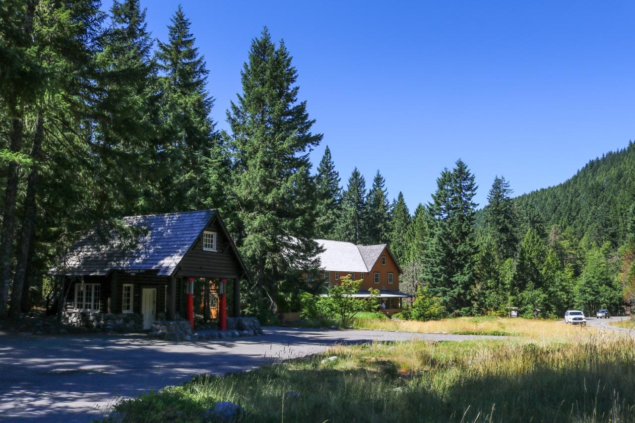
Although this isn’t technically one of the park’s official hiking trails, the Longmire Historic District Walking Tour is still one of the best easy walks in Mount Rainier National Park.
Especially if you like learning about national park history, you’ll enjoy this self-guided walk. According to the National Park Service, this is a great hike to “observe the excellent examples of classic National Park Service rustic architecture found at Longmire.”
Starting at the General Store and National Park Inn, one of the two lodges at Mount Rainier, the walking tour runs past several historic buildings.
You’ll follow sidewalks and road edges past a former gas station, museum, administration building, and the Nisqually River suspension bridge. Interpretive signs provide more information about specific points of interest along the route.
Note: The Longmire Historic District Walking Tour passes through a maintenance and residential area, where park employees currently live. These homes are private residences, so please respect everyone’s privacy.
- Location: Longmire
- Trailhead: National Park Inn
- Distance: 1.25 miles (out and back)
- Elevation gain: 0 feet
- Total hiking time: 1 hour
4. Narada Falls Trail
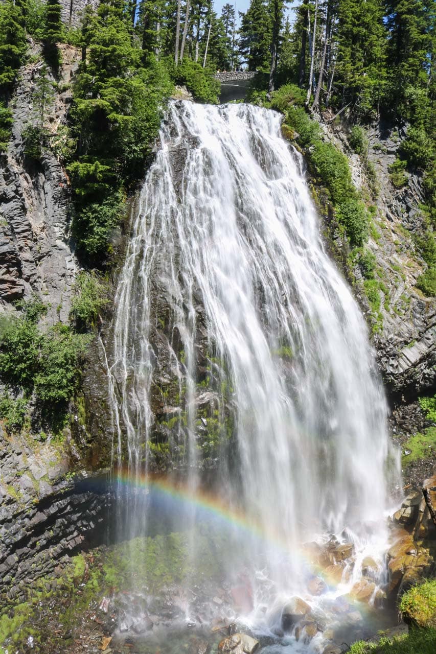
About 150 feet west of the spur road to Paradise, Narada Falls is the largest Mount Rainier waterfall accessible by car.
It’s a popular destination year-round, a spectacular 168-foot waterfall that’s visible from an upper viewpoint, a stone bridge, and a lower scenic overlook across from the falls.
To get to that lower overlook, you need to follow a short but steep 0.2-mile trail, which starts across the stone bridge.
From the overlook, you can see stunning Narada Falls in all its glory. On a sunny day, you may even see a rainbow dancing in the waterfall’s spray.
Retrace your steps back up the trail and to the parking lot. If it’s a rainy day, be careful on this steep trail—it can be slippery when wet.
- Location: Paradise
- Trailhead: About 1 mile below Paradise, along the main road
- Distance: 0.4 miles (out and back)
- Elevation gain: 200 feet
- Total hiking time: 15 minutes
5. Grove of the Patriarchs
NOTE: Severe flooding in the fall of 2021 damaged the suspension bridge across the Ohanapecosh River. The Grove of the Patriarchs has been closed until further notice since then. It is not expected to open for the 2023 summer season. You can, however, hike along the Eastside Trail to where the bridge used to be and see the trees from a distance.
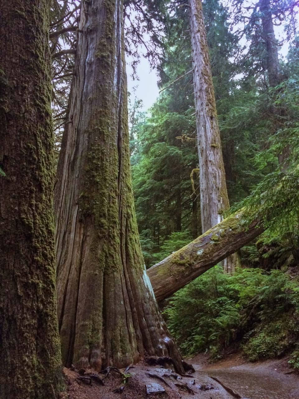
The Grove of the Patriarchs is one of the most extraordinary Mount Rainier National Park hiking destinations. I loved walking among the area’s huge 300-foot-tall western red cedars and Douglas firs, some of which are up to 1,000 years old.
It’s one of the best easy hikes at Mount Rainier, particularly because it shows a completely different side of this mesmerizing national park. There are neither towering mountains, nor spectacular wildflowers or waterfalls here.
Instead, you get enormous trees and the feeling you’ve entered an entirely different place. It really is hard to put into words how beautiful this area is.
The ancient Grove of the Patriarchs sits on a small island surrounded by the crystal-clear, swift-flowing glacial water of the Ohanapecosh River.
The best way I can describe it is as “a vignette of the scenic beauty of a glacial stream through an old Pacific Northwest conifer forest.”
- Location: Ohanapecosh
- Trailhead: Grove of the Patriarchs Parking Area, just west of the Stevens Canyon Entrance at Ohanapecosh
- Distance: 1.3 miles (lollipop)
- Elevation gain: 50 feet
- Total hiking time: 1 hour
6. Silver Falls Trail
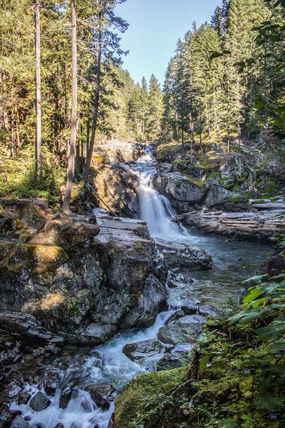
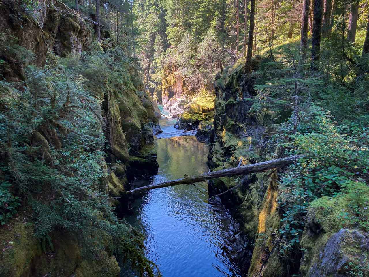
The Silver Falls Trail offers visitors the opportunity to enjoy a pleasant stroll underneath the old-growth trees along the Ohanapecosh River.
On a crisp morning in spring, fall, or even summer, a walk in these fragrant forests is absolutely delightful.
On the way, you can experience the bustling of life in Mount Rainier’s pristine woodlands. Listen for the tapping of woodpeckers and the rustling of deer in the bushes. Enjoy the sounds of the pristine river water as it tumbles down cascades and rapids.
The highlight of this wonderful and easy Mount Rainier hike is Silver Falls itself, a large 75-foot waterfall thundering down into a gorge. A scenic wooden bridge crosses the gorge, making for a great photo location.
You can choose between three trailheads to hike to Silver Falls, each with a different hiking distance. The total elevation change is the same for each trail, though: 300 feet.
The shortest and easiest hiking option starts on Route 123 (a 0.6-mile roundtrip hike), while the longest and arguably most scenic hike is from the Ohanapecosh Campground (a 3-mile loop).
Alternatively, you can also hike to Silver Falls from the Grove of the Patriarchs Parking Area (a 1-mile roundtrip hike).
- Location: Ohanapecosh
- Trailhead: Route 123, Grove of the Patriarchs Parking Area, or Loop B of the Ohanapecosh Campground
- Distance: 0.6 miles (out and back), 1 mile (out and back), or 3 miles (loop)
- Elevation gain: 300 feet for all hiking options
- Total hiking time: 30 minutes, 40 minutes, or 1.5 hours
7. Tipsoo Lake Loop
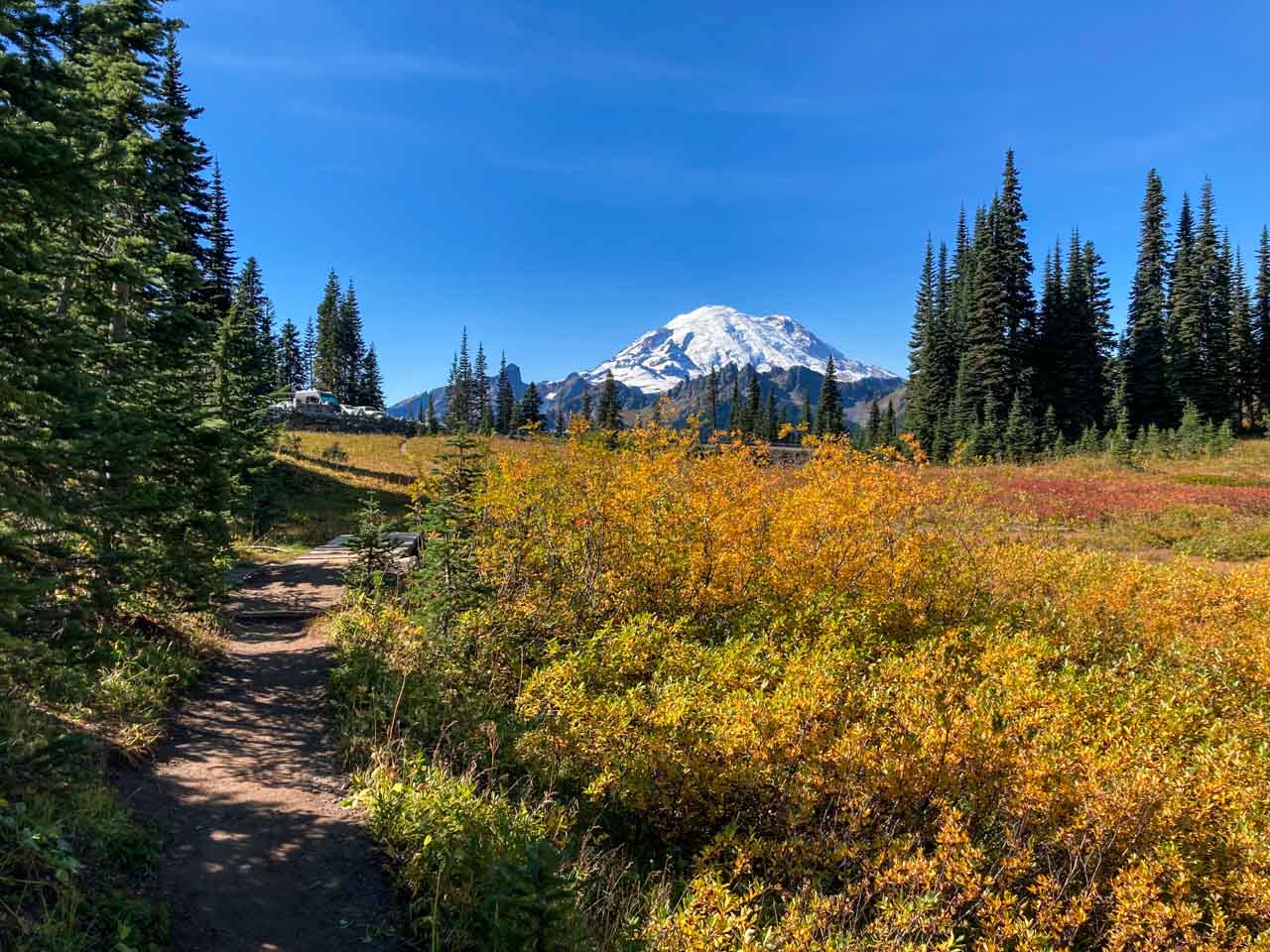
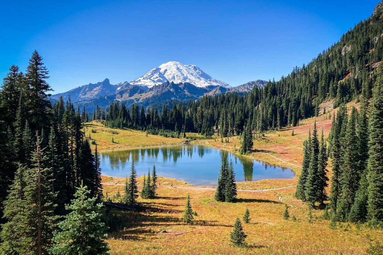
Only reachable in summer and early fall, usually from June to October, Tipsoo Lake is one of my favorite places in Mount Rainier National Park.
It’s an incredibly picturesque area, the small lake backed by mighty Mount Rainier and surrounded by gorgeous meadows.
In fact, if you’re looking for the best views of Mount Rainier, it really doesn’t get any better than the Tipsoo Lake and Chinook Pass area, which is especially stunning at sunrise and sunset.
Sitting in a glacier-carved basin, Tipsoo Lake is home to spectacular wildflowers in summer, particularly from mid to late July.
In fall, on the other hand, the area’s numerous huckleberry bushes and other vegetation display vibrant fall colors near Mount Rainier.
You can walk around Tipsoo Lake on a short lakeshore loop trail. Park at either the Tipsoo Lake Picnic Area or a bit further up the road toward Chinook Pass.
For a longer hike, which isn’t as easy as the loop around Tipsoo Lake, consider hiking the 3.4-mile Naches Peak Loop Trail.
- Location: Chinook Pass
- Trailhead: Tipsoo Lake Picnic Area
- Distance: 0.5 miles (loop)
- Elevation gain: 10 feet
- Total hiking time: 20 minutes
8. Sunrise Nature Trail
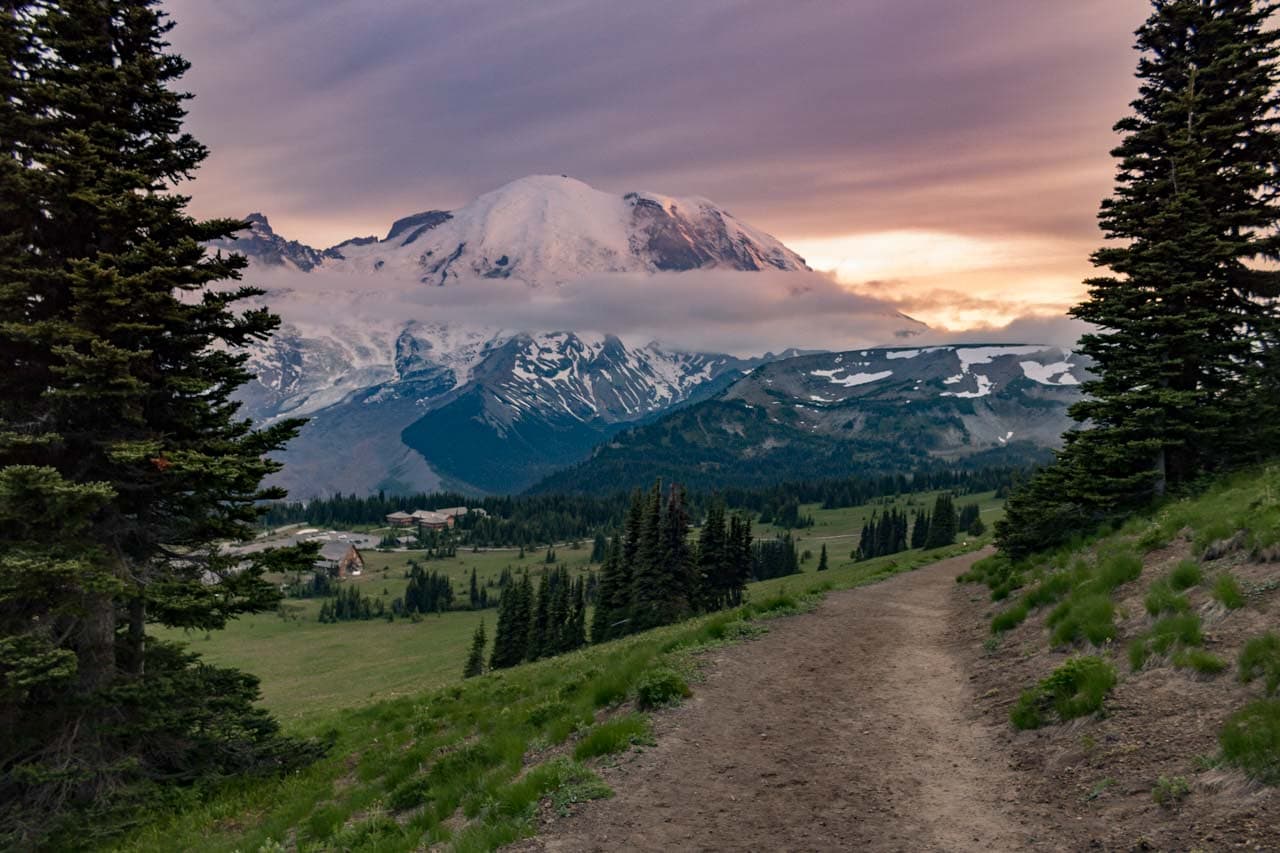
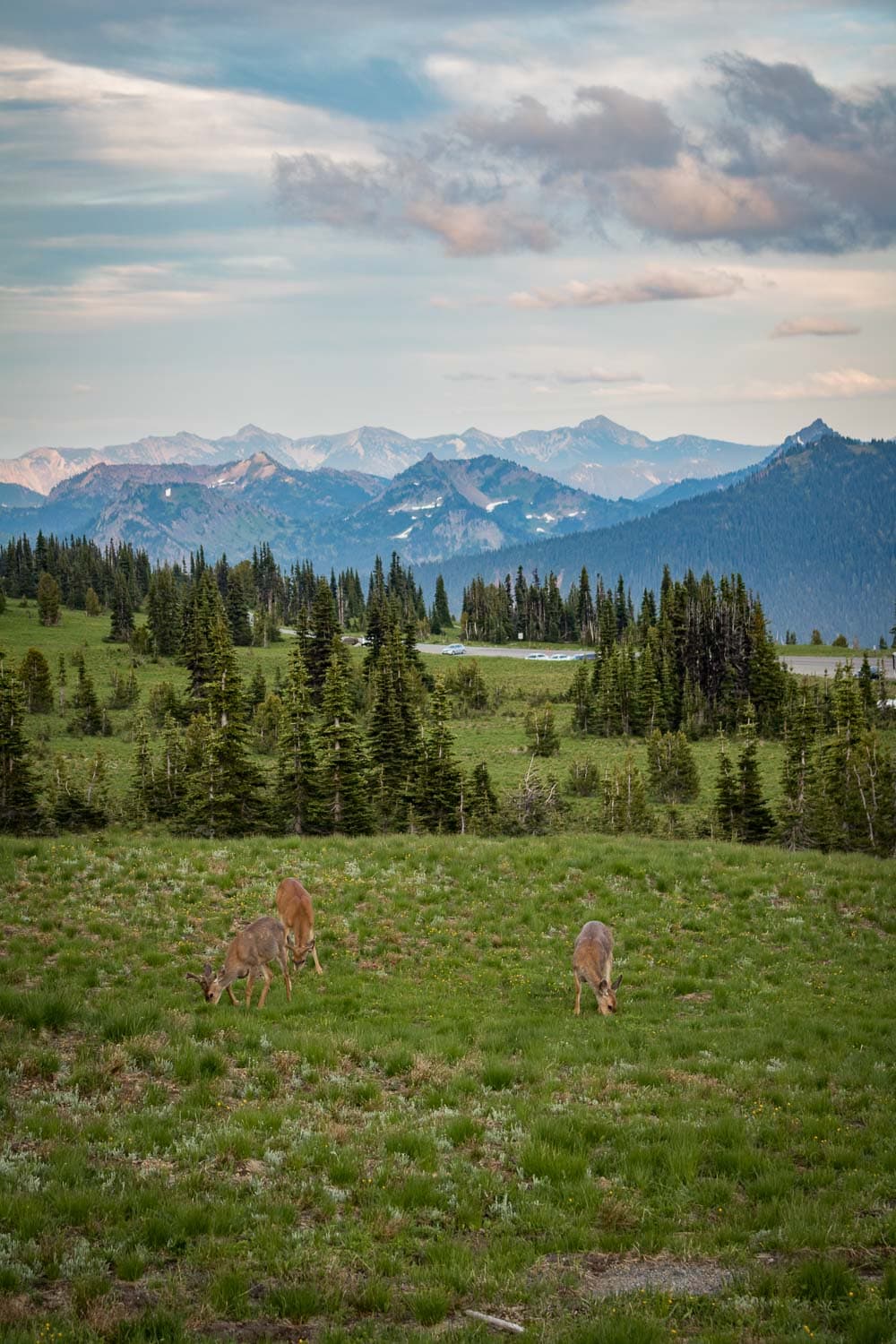
Located at 6,400 feet, Sunrise is the highest area in Mount Rainier National Park you can reach by vehicle. It sits on the northeast flank of the mountain and offers truly jaw-dropping views.
In summer, the subalpine meadows at Sunrise, known as Yakima Park, abound with colorful wildflowers.
Wildlife is also often seen here, especially at dawn and dusk, ranging from deer and marmots to Cascade red foxes and black bears. Look up and scan the higher slopes around you for slowly moving white dots—those are mountain goats.
There’s an amazing network of hiking trails at Sunrise, but most of those are moderate to challenging hikes. However, if you’re looking for an easy hike, you do have an excellent option.
The Sunrise Nature Trail begins at the upper end of the Sunrise Picnic Area. It’s a wonderful, easy, and self-guided loop through the meadows of Yakima Park.
Along the way, you can enjoy spectacular views of Mount Rainier itself and the surrounding peaks of the Cascade Range.
For a longer hike at Sunrise, which is still relatively easy, you can follow a section of the Sourdough Ridge Trail to either Dege Peak (east) or Frozen Lake (west). When hiking the Sunrise Nature Trail, the Sourdough Ridge Trail overlaps the upper portion of the loop.
- Location: Sunrise
- Trailhead: Behind the Sunrise Visitor Center
- Distance: 1.5 miles (loop)
- Elevation gain: 300 feet
- Total hiking time: 45 minutes
9. Nisqually Vista Trail
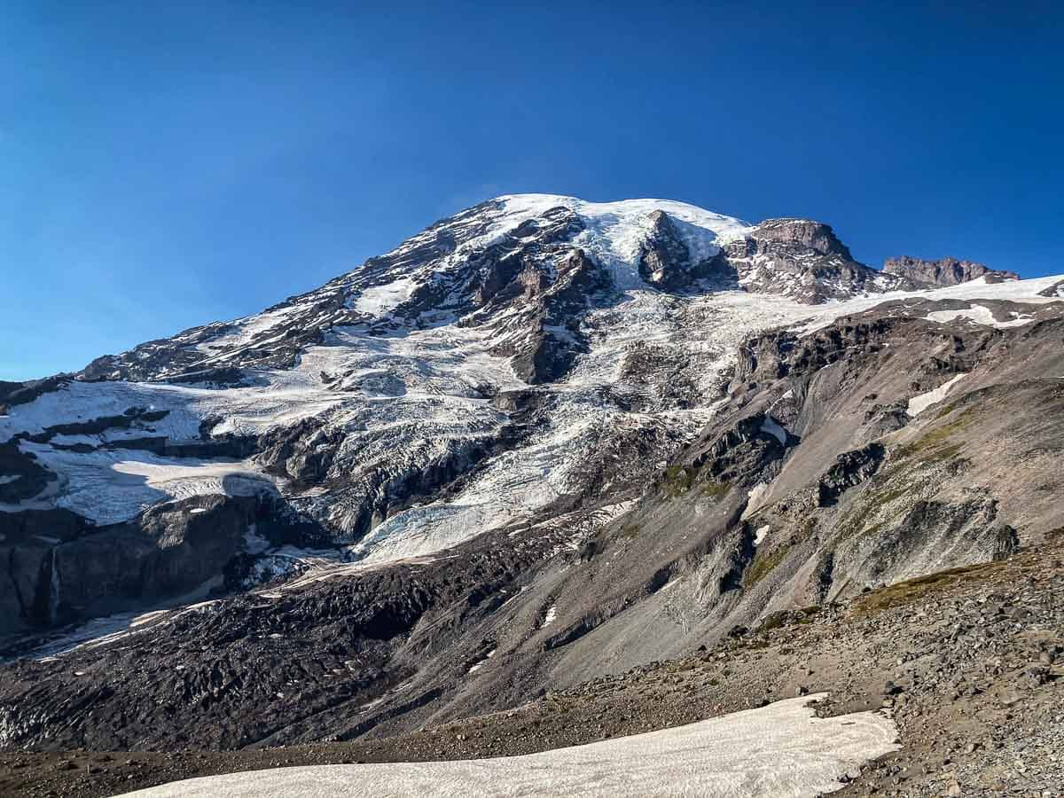
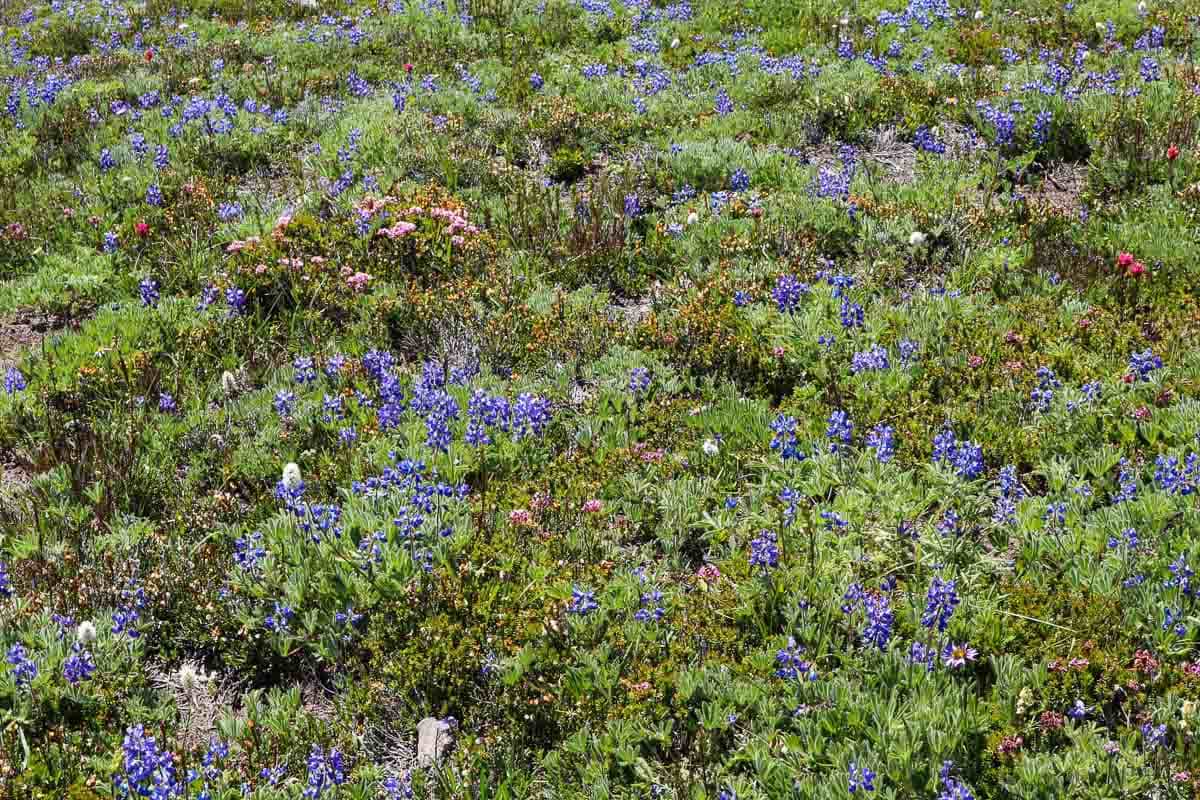
If you’re looking for the best easy hikes in Mount Rainier that offer both wildflowers and views of the mountain, I strongly recommend the Nisqually Vista Trail.
This easy 1.2-mile loop hike starts at the western end of the lower Paradise parking area and is suitable for families with strollers. Along the way, you’ll get to immerse yourself in gorgeous summer wildflowers or amazing fall foliage.
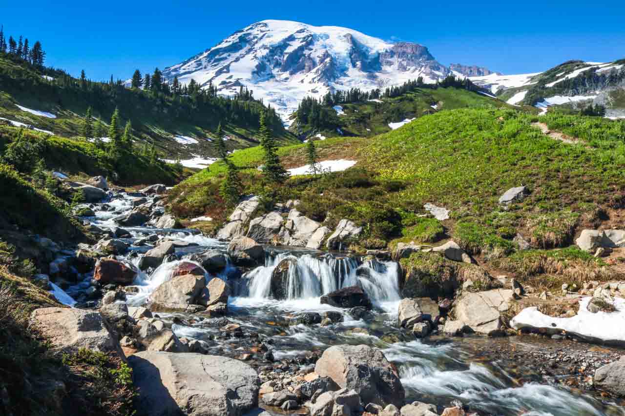
As you walk through the meadows of Paradise, you’ll always be accompanied by great views of Mount Rainier itself. The trail is named after the massive Nisqually Glacier, which is clearly visible on this easy Mount Rainier hike.
Additionally, if you’re lucky, you might also spot some wildlife here. Deer frequent the Paradise meadows and are common sights, as are smaller mammals like chipmunks, ground squirrels, and marmots. I’ve even seen a couple of black bears here!
- Location: Paradise
- Trailhead: Western end of the lower Paradise parking area
- Distance: 1.2 miles (lollipop)
- Elevation gain: 200 feet
- Total hiking time: 45 minutes
10. Skyline Trail to Myrtle Falls
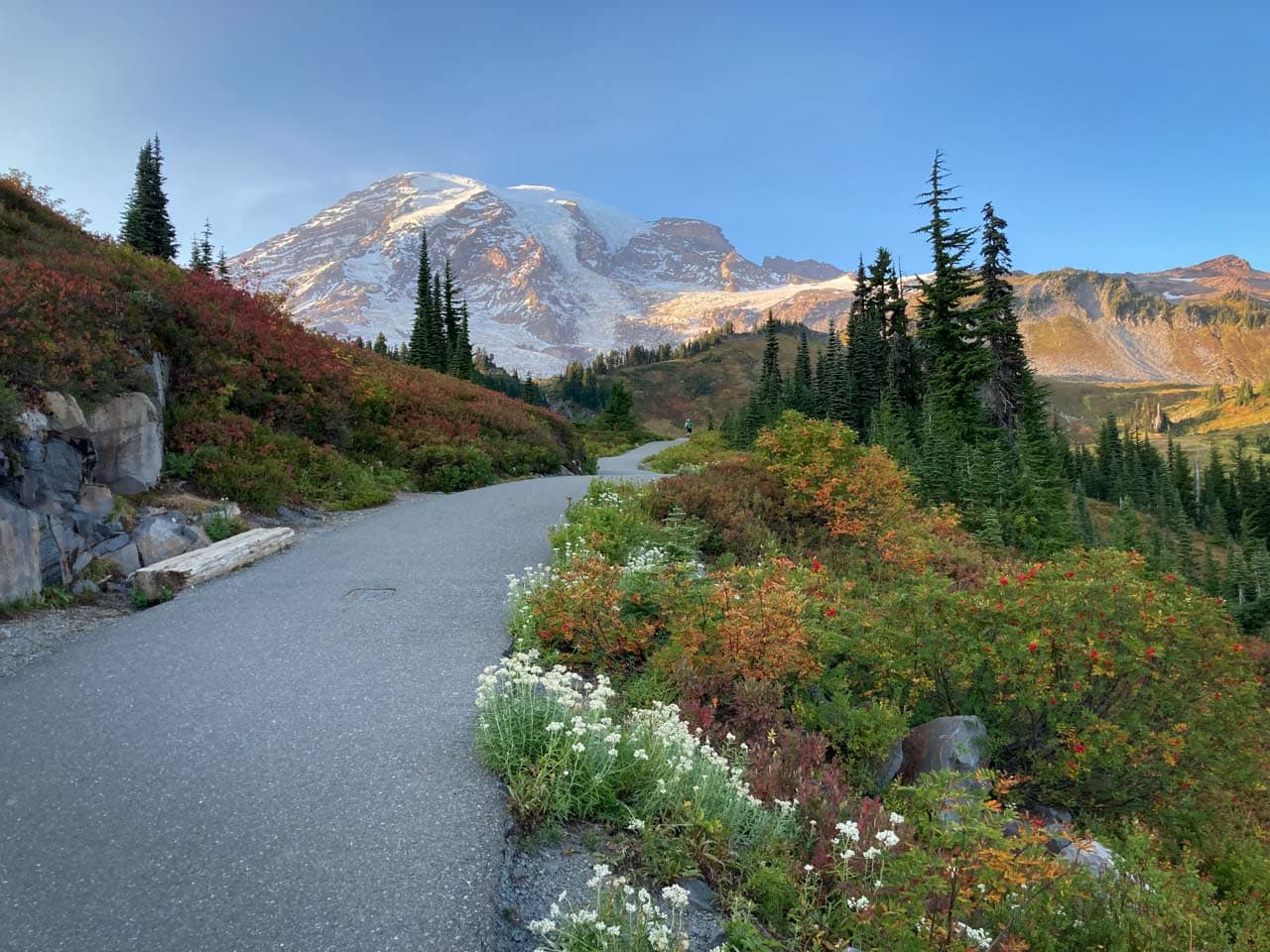
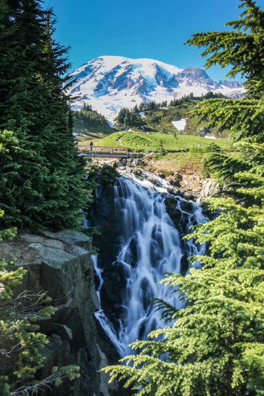
The absolute jewel in the brilliant crown of Mount Rainier scenery is Myrtle Falls. Even though the 60-foot height of this waterfall may not be spectacular, its setting undeniably is. It is absolutely breathtaking.
Situated about 0.5 miles from the Paradise Inn on a paved section of the superb Skyline Trail, this braided waterfall in Edith Creek is backed by majestic Mount Rainier itself.
Tall trees frame Myrtle Falls amazingly well, while the meadows of Paradise roll towards the mountain behind the falls.
A small wooden bridge crosses Edith Creek just above the falls, providing fantastic photo opportunities.
This incredible scene of rolling meadows, a thundering waterfall and Mount Rainier itself makes the Skyline Trail one of the best waterfall hikes in the National Park System.
And in terms of easy hikes in Mount Rainier National Park, Myrtle Falls via the Skyline Trail is as good as it gets.
In fact, this is easily one of the top attractions at Mount Rainier. If you only have time for one or two short hikes in the park, I strongly—strongly!—recommend you do this one.
- Location: Paradise
- Trailhead: Behind the Henry M. Jackson Memorial Visitor Center
- Distance: 1 mile (out and back)
- Elevation gain: 100 feet
- Total hiking time: 30 minutes
More About Mount Rainier National Park
- Park Website
- Travel Guide
- Topographic Map
- Best Mount Rainier Day Hikes
- Top Things To Do in Mount Rainier National Park
- Views of Mount Rainier
- Accommodation


I love your descriptions, pictures and knowledge. I use your information to help plan my trips.
I wish this site had a map of the trails and National Park!!
Thanks so much, Caroline! I’m happy that you find the information useful and enjoy seeing my photos as much I enjoy taking them. You can find all kinds of maps here on the Mount Rainier National Park website: https://www.nps.gov/mora/planyourvisit/maps.htm