Best Waterfall Hikes in the Columbia River Gorge, Oregon
What comes to mind when you think about Oregon? Is it wagon trains and wine valleys? Or flannel shirts and bicycles? Maybe even craft breweries or eco-friendly cities? Surely, waterfalls spring to mind, too!
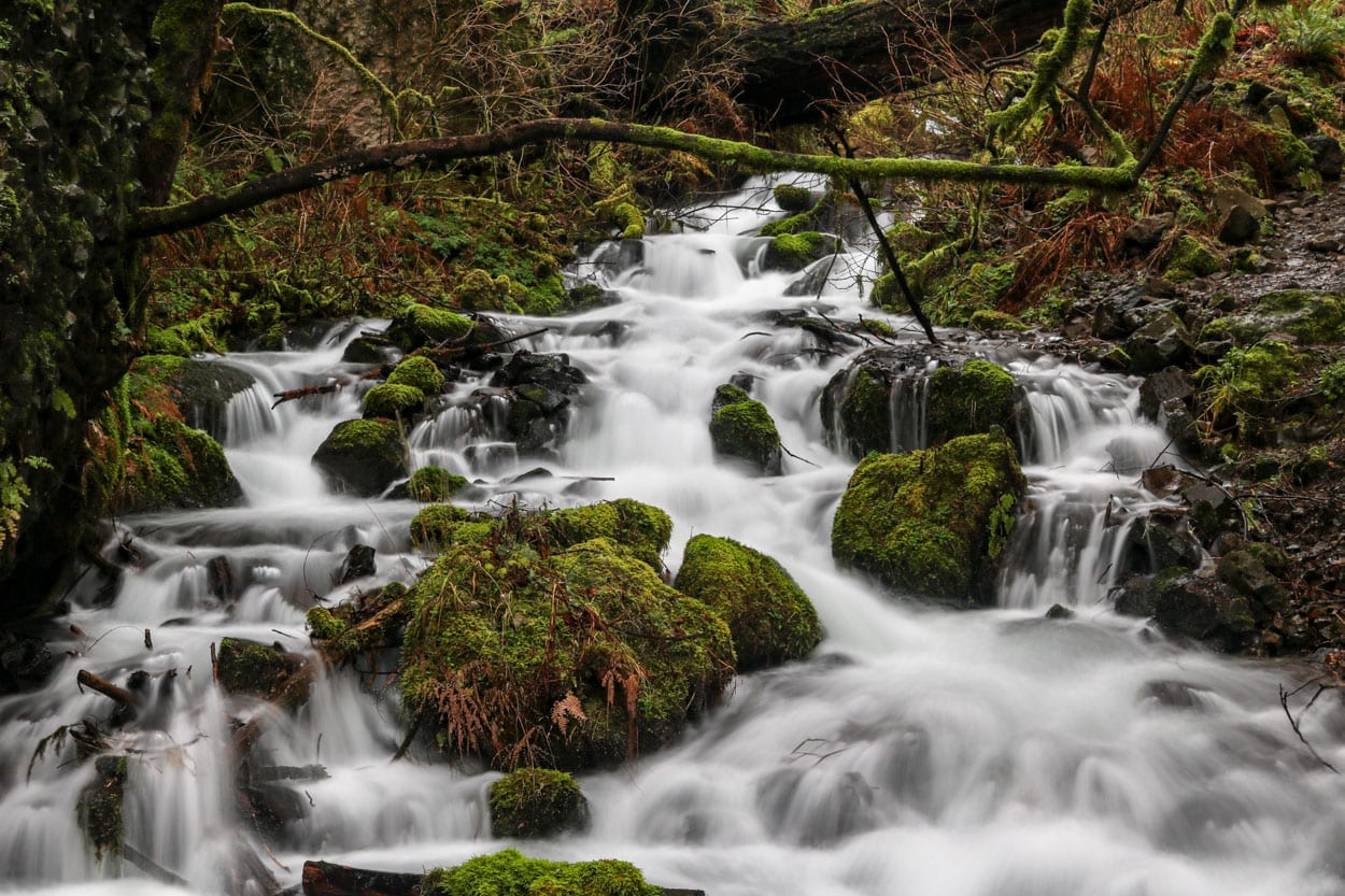
Oregon is known far and wide for its lush forests filled with moss-covered rocks and trees, its many volcanoes and hundreds of photogenic waterfalls.
Especially the Columbia River Gorge, which forms much of the border between Oregon and Washington State, is famous for being a waterfall hotspot.
Columbia River Gorge: From Waterfalls to Wildflowers
Carved by the mighty Columbia River, the fourth-largest river in the United States, the Gorge is more than 80 miles long and up to 4,000 feet deep. It cuts its way through the Cascade Mountains—the name itself reveals an abundance of waterfalls—toward the Pacific Ocean near Astoria.
Generally speaking, the Columbia River Gorge can be divided into two distinct areas.
Stretching roughly between Troutdale and Hood River, the western Columbia River Gorge receives the lion’s share of annual precipitation and is where almost all waterfalls are located.
The eastern Columbia River Gorge, on the other hand, extends from Hood River eastward to The Dalles and beyond. This area lies in the rain shadow of the Cascades and gets little rainfall, which results in a landscape of arid plateaus, canyons, treeless hills, ranches and expansive plains.
Although there are no noteworthy waterfalls in the Columbia River Gorge’s eastern half, the area does have its very own natural attraction—a magnificent explosion of spring wildflowers.
However, since this article is specifically about the best waterfall hikes in the Columbia River Gorge, I’ll focus on the Gorge’s western half below.
This blog post about the best Columbia River Gorge waterfall hikes contains affiliate links. You can read more about our Terms of Use / Disclosure here.
Historic Columbia River Highway
Before we continue with the Columbia River Gorge waterfalls, I should also point out that I’m only covering the Oregon side of the Gorge in this article.
When you’re after beautiful waterfalls, the Oregon side is where you should be. The Oregon falls and cascades are both more abundant and more accessible than those in Washington.
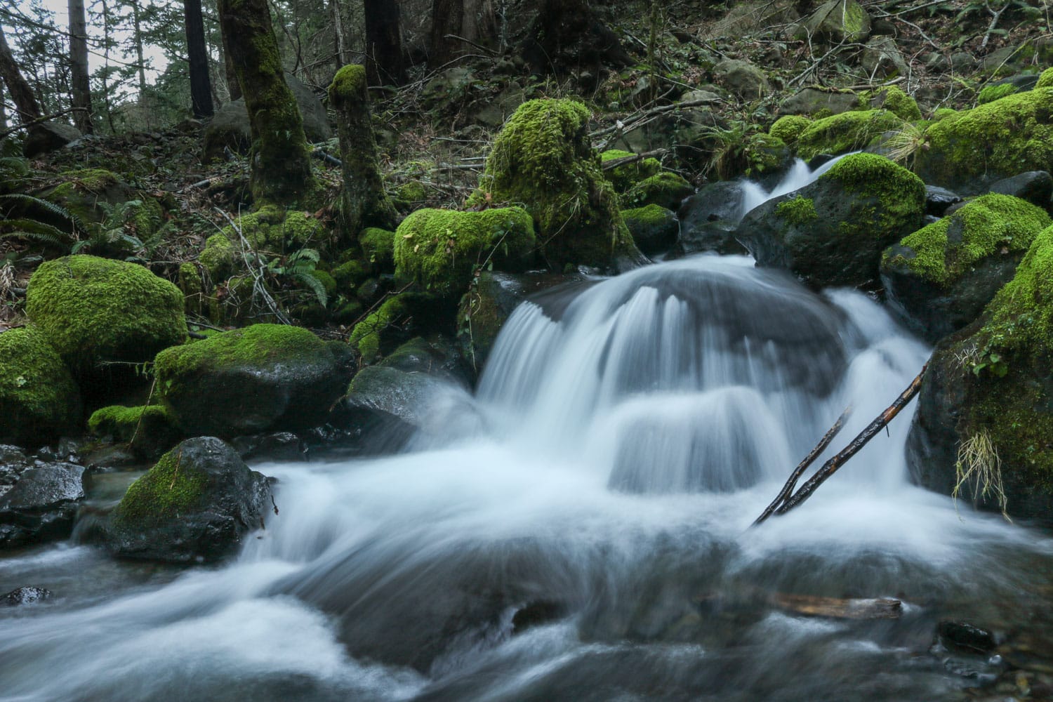
All the Columbia River Gorge waterfall hikes featured below are on the scenic Historic Columbia River Highway, either on the original scenic route or just off of I-84.
The very first “scenic highway” in America, this historic route runs through the spectacular Columbia River Gorge National Scenic Area and follows the left bank (the Oregon side) of the Columbia River.
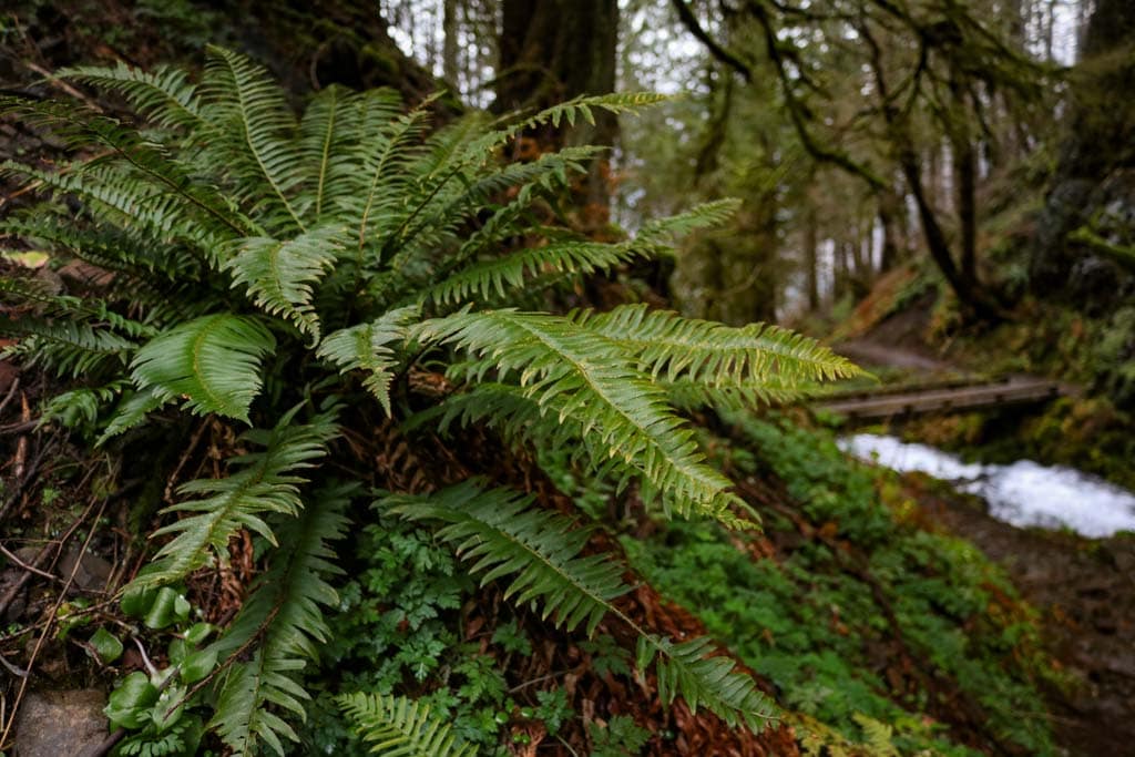
Flanked by sheer walls of basalt, lined with forests of firs and ferns, and dotted with a wealth of waterfalls, it’s amazing that this stunning natural area is so close to a major city—it’s one of the greatest natural destinations near Portland.
It doesn’t take longer than 30 minutes to get to the start of the Historic Columbia River Highway from Portland by car.
Before you realize you’ve left the city behind, you’ll be surrounded by towering trees, remarkable rock formations, and moss so green and bright it appears almost luminescent.
Best Columbia River Gorge Waterfall Hikes Near Portland, Oregon
Since you’re probably driving the Columbia River Highway in an easterly direction from Portland, I’ve listed these hikes to waterfalls in the Columbia River Gorge from west to east, too.
All these hikes are amazing, but the number of asterisks behind their name indicates how they, in my opinion, compare to one another.
One asterisk (*) means it’s worth it if you have some time left, while five (*****) tells you it’s a not-to-miss Columbia River Gorge hike.
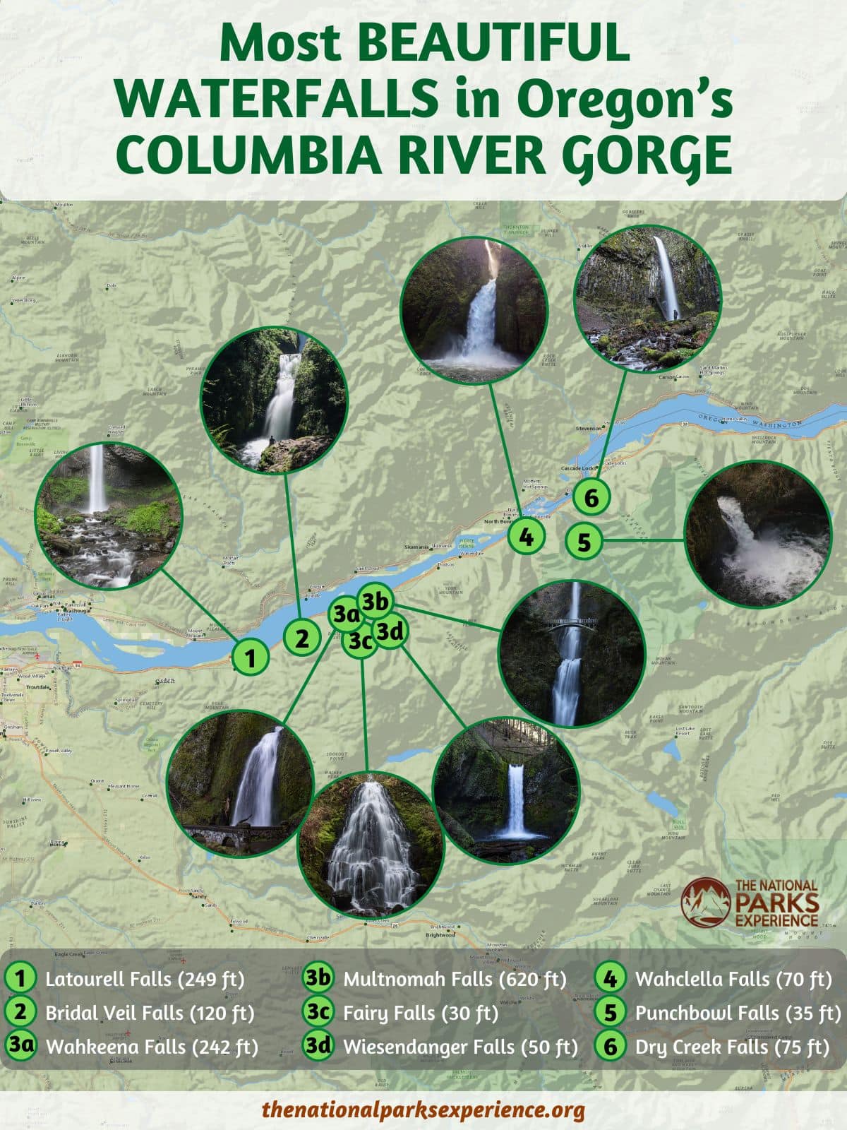
The Columbia River Gorge waterfalls map at the end of this article offers a visual overview of the locations of the falls.
Latourell Falls Loop **
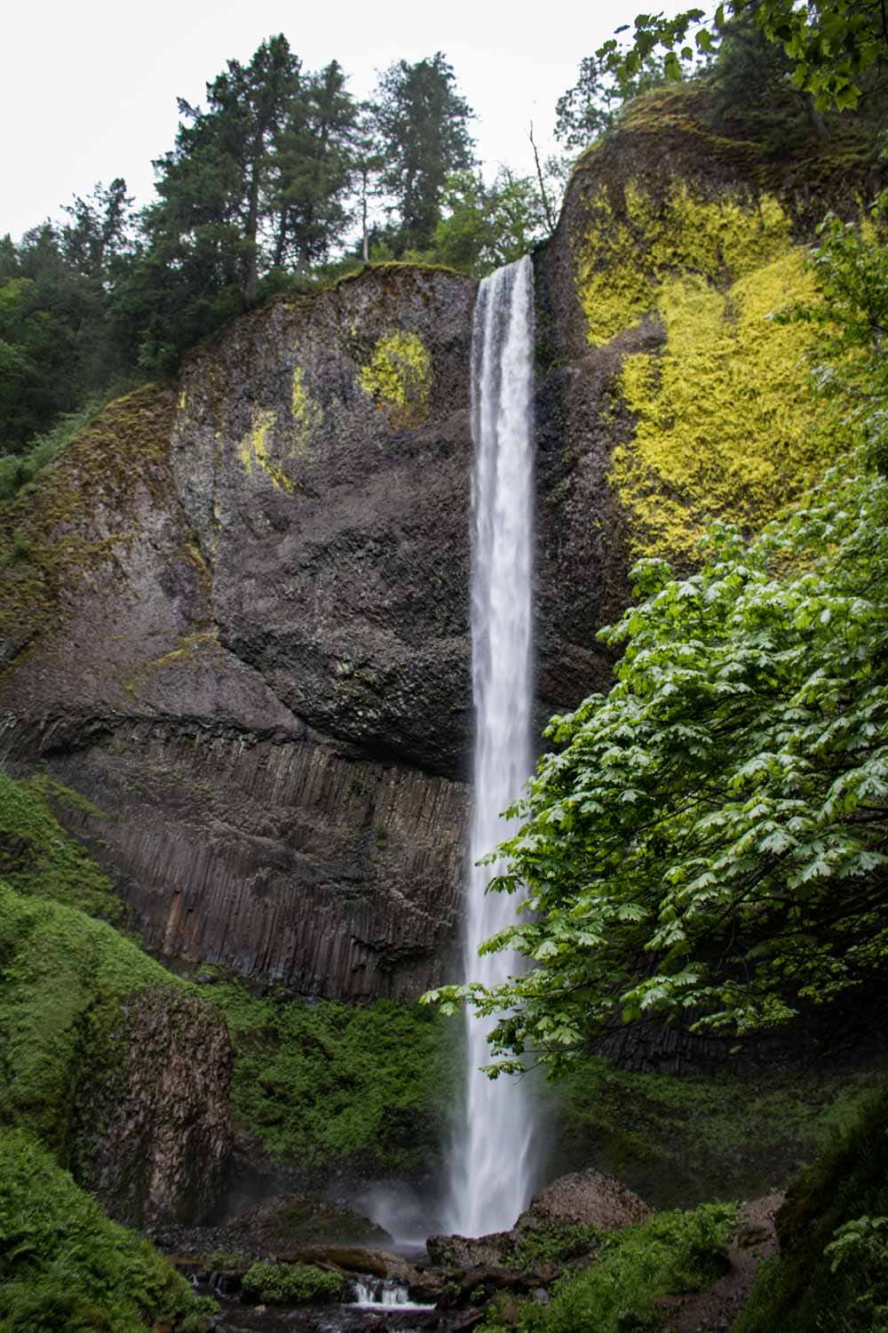
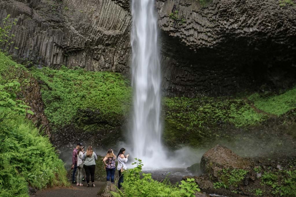
After stopping at the Portland Women’s Forum State Scenic Viewpoint and iconic Crown Point Vista House, you’ll enter the Columbia River Gorge waterfall area. The first major waterfall you’ll come across is Latourell Falls.
From the trailhead, it’s an easy walk to the base of impressive Latourell Falls (249 feet), which drops down a sheer cliff of basalt columns.
For a longer hike, you can do the 2-mile loop hike, which takes you to the top of the falls and back down the other side.
It’s a great introduction to the waterfalls of the Columbia River Gorge and a quick hike I really recommend.
- Distance: 2 miles (loop)
- Duration: 1 hour
- Difficulty: moderate
- Trailhead: Guy W. Talbot State Park on the Historic Columbia River Highway
Bridal Veil Falls Trail *
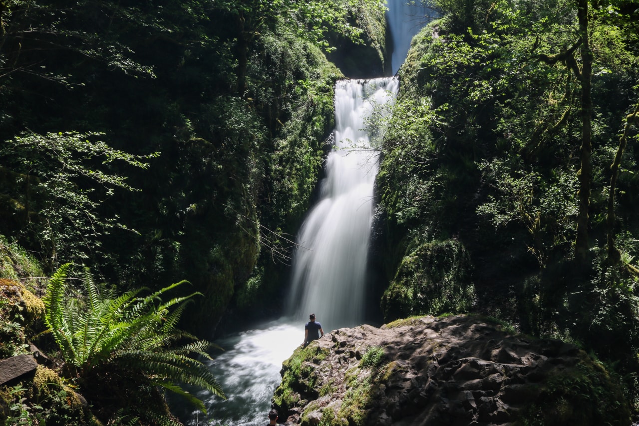
If you’re looking for a short and easy waterfall hike in the Columbia River Gorge, you can’t go wrong with the Bridal Veil Falls Trail.
This is a quick stroll down into a hollow toward Bridal Veil Falls (120 feet). The first part of the trail is paved, while the lower portion has a set of stairs and gravel.
There’s a viewing platform that offers a great view of the falls. This is a super-easy hike and you should be in and out in about 20 minutes.
- Distance: 0.6 miles (out and back)
- Duration: 20 minutes
- Difficulty: easy
- Trailhead: Bridal Veil Falls State Scenic Viewpoint on the Historic Columbia River Highway
Wahkeena and Multnomah Falls Loop *****
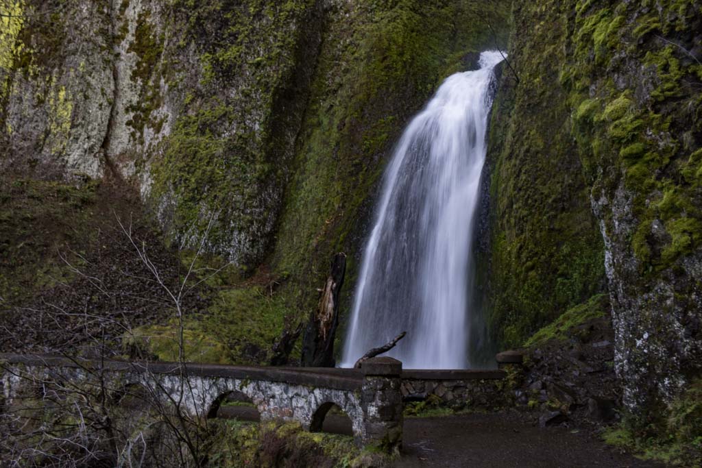
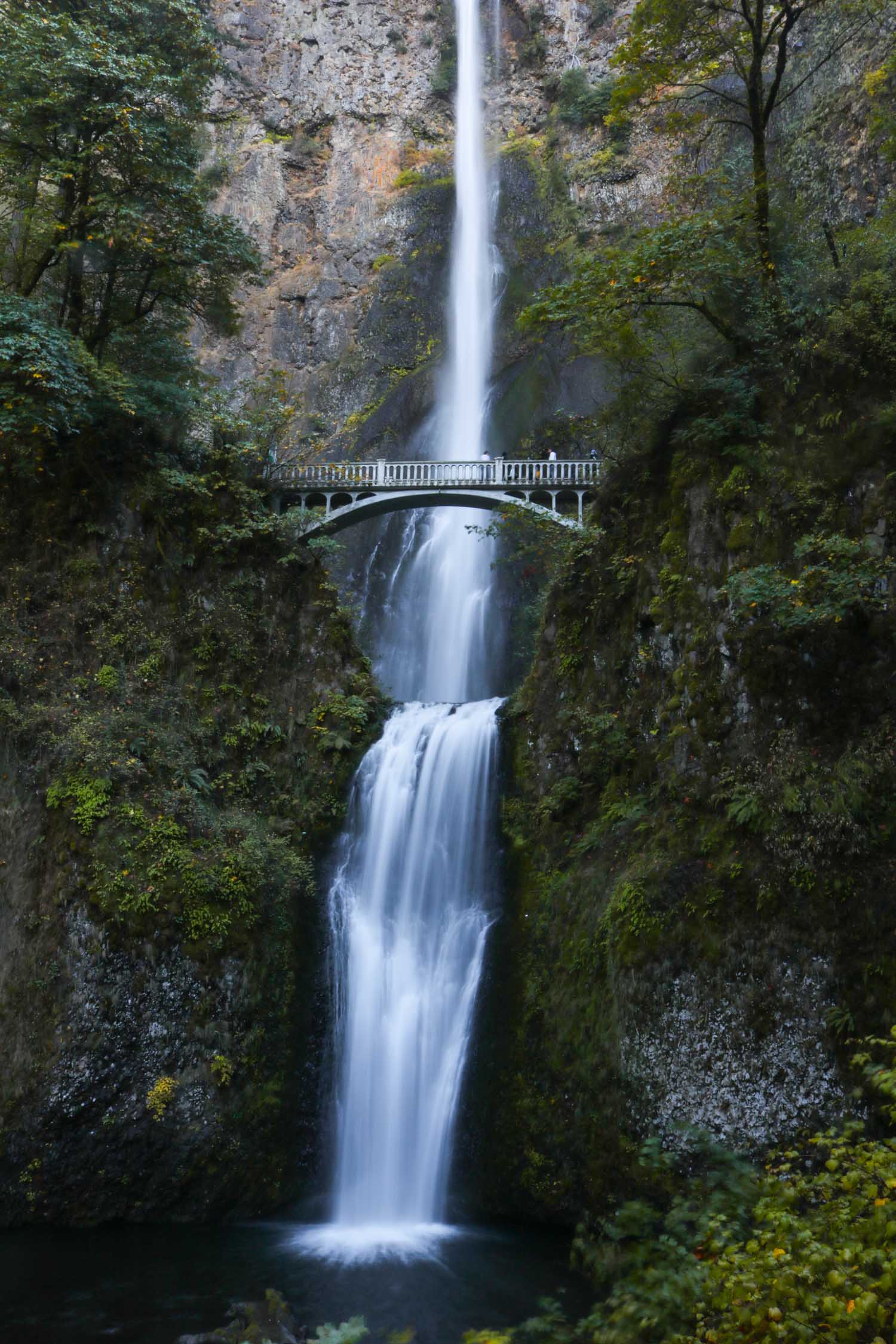
This is arguably the absolute best waterfall hike in the Columbia River Gorge.
It loops almost 5 miles past as many waterfalls, including Multnomah Falls, one of the most famous and most photographed waterfalls in America.
When hiking this waterfall loop in the recommended counterclockwise direction, the trail starts at the Multnomah Falls Lodge and runs toward the Wahkeena Falls parking lot.
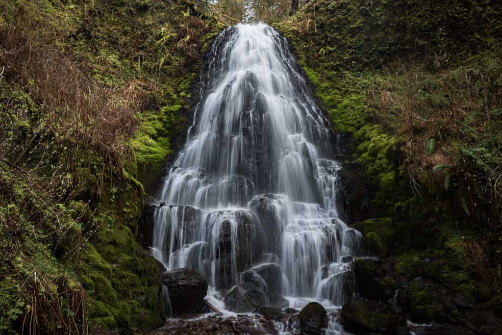
It then climbs up to Wahkeena Falls (242 feet) and along Wahkeena Creek passing countless cascades and little waterfalls like Fairy Falls (30 feet) on the way.
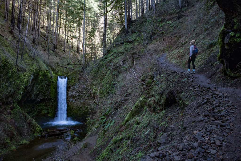
After a brief stretch along the ridge high above the Columbia River, you’ll descend down Multnomah Creek. This is my personal favorite section of this amazing Columbia Gorge waterfall hike.
You’ll pass several beautiful waterfalls on the way down, most notably photogenic Wiesendanger Falls (50 feet).
Additionally, I suggest taking the spur trail to the top of Multnomah Falls (620 feet), the highest waterfall in Oregon. After that, a series of switchbacks takes you back to the base of Multnomah Falls and the lodge.
- Distance: 5 miles (loop)
- Duration: 2-3 hours
- Difficulty: moderate
- Trailhead: Multnomah Falls Lodge on the Historic Columbia River Highway
Recommended Book: Hiking Waterfalls Oregon: A Guide to the State’s Best Waterfall Hikes
Wahclella Falls Trail *****

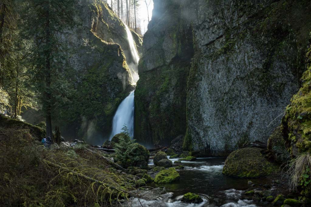
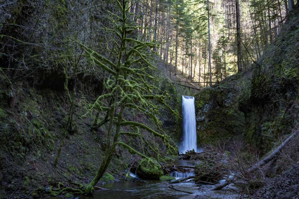
Perhaps the most beautiful waterfall of them all, Wahclella Falls (70 feet) squeezes itself scenically through a gap in a majestic cliff.
Surrounded by sheer rock walls, large boulders and the typical moss-covered trees, this is as “Oregon” as it gets.
This is also a really easy hike with only about 320 feet of elevation gain over 1.2 miles. The first part of the hike is along tree-lined Tanner Creek, while toward the end, you’ll feel like you’ve entered a magical Pacific Northwest wonderland.
If I had to pick my favorite of all Columbia River Gorge waterfalls in Oregon, Wahclella Falls would be it—hands down.
It’s ridiculously beautiful and the surrounding scenery is glorious, making for one of the best waterfall hikes in the Gorge.
- Distance: 2.4 miles (out and back)
- Duration: 1 hour
- Difficulty: easy
- Trailhead: Wahclella Falls Trailhead right after Exit 40 Bonneville Fish Hatchery on I-84
Eagle Creek Trail #440 *****
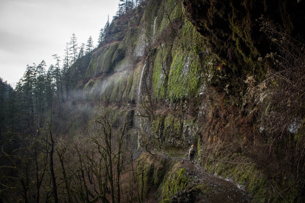
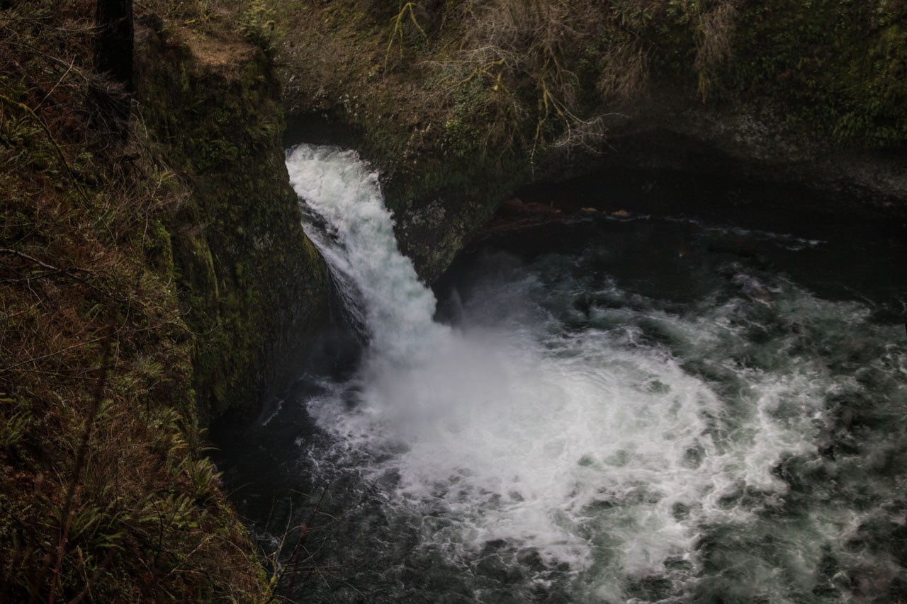
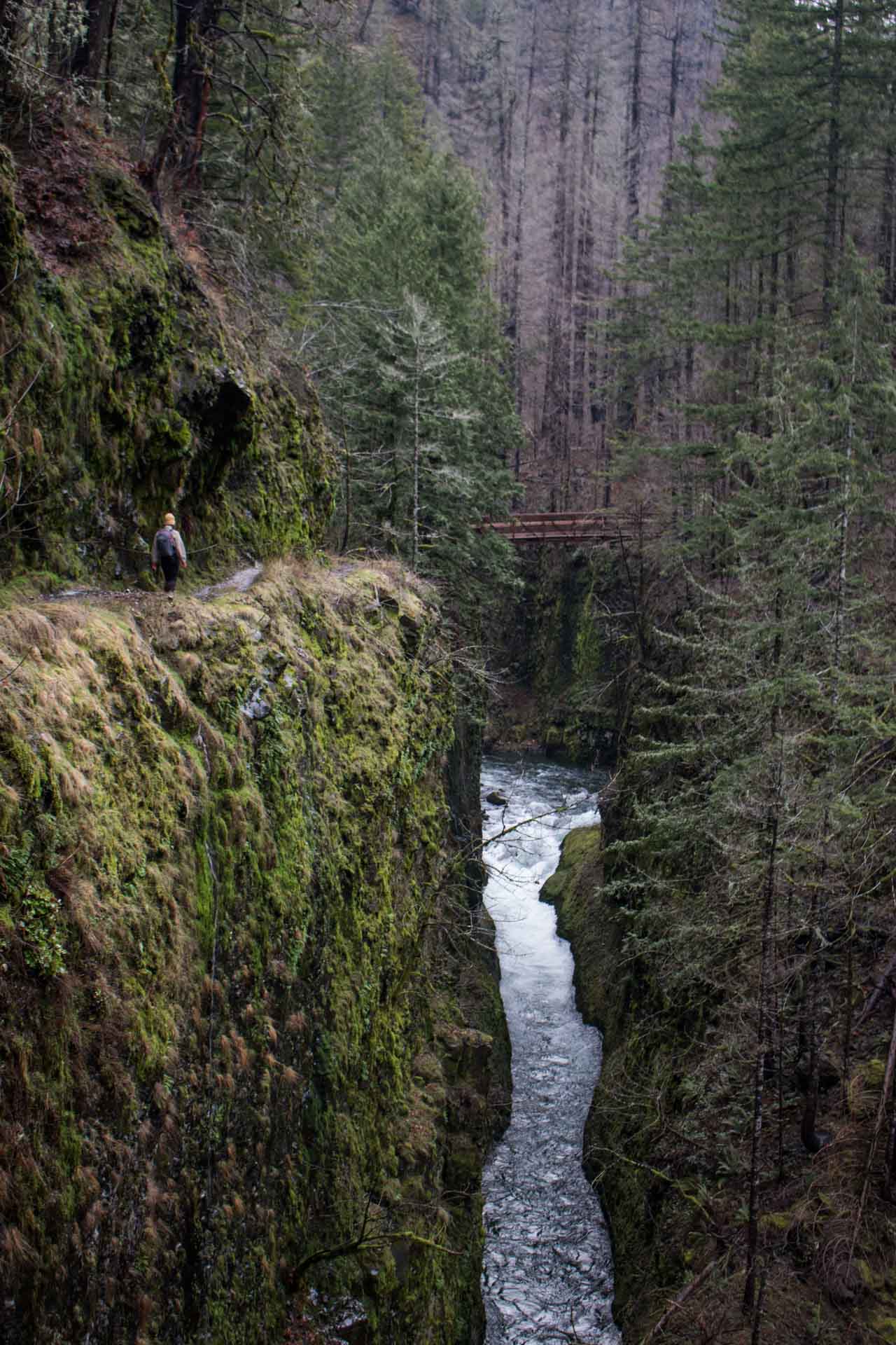
Having been closed for over three years after the 2017 Eagle Creek Fire, the Eagle Creek Trail (#440) reopened again on January 1, 2020.
One of the most popular and greatest waterfall hikes in the Columbia River Gorge, this phenomenal trail parallels Eagle Creek for many miles, often running high above it on a basalt cliffs.
The entire length of this trail is 13.3 miles, which offers you the opportunity to hike as far as you want.
There are many options for day hikes here, from the 4-mile roundtrip to iconic Metlako and Punchbowl Falls and the popular 6.5 roundtrip to High Bridge, to an all-out backpacking trip to Tunnel Falls or Wahtum Lake.
All along the way, you will hike next to roaring Eagle Creek and its many cascades and waterfalls. Literally, there are dozens of waterfalls here, small and large, single and multi-drop.
Additionally, there are also the ubiquitous ferns, moss-covered trees and occasional mist that are so characteristic of this part of the Pacific Northwest.
All in all, this is absolutely one of the best waterfall hikes in the Columbia River Gorge—in terms of number of waterfalls, it is probably the best one there is in the Gorge.
- Distance: 3 to 26+ miles (out and back)
- Duration: 2 hours to multi-day backpacking trip
- Difficulty: easy to difficult, depending on distance
- Trailhead: Eagle Creek Trailhead past the Cascade Salmon Hatchery, after Exit 41 on I-84
Dry Creek Falls Trail ***
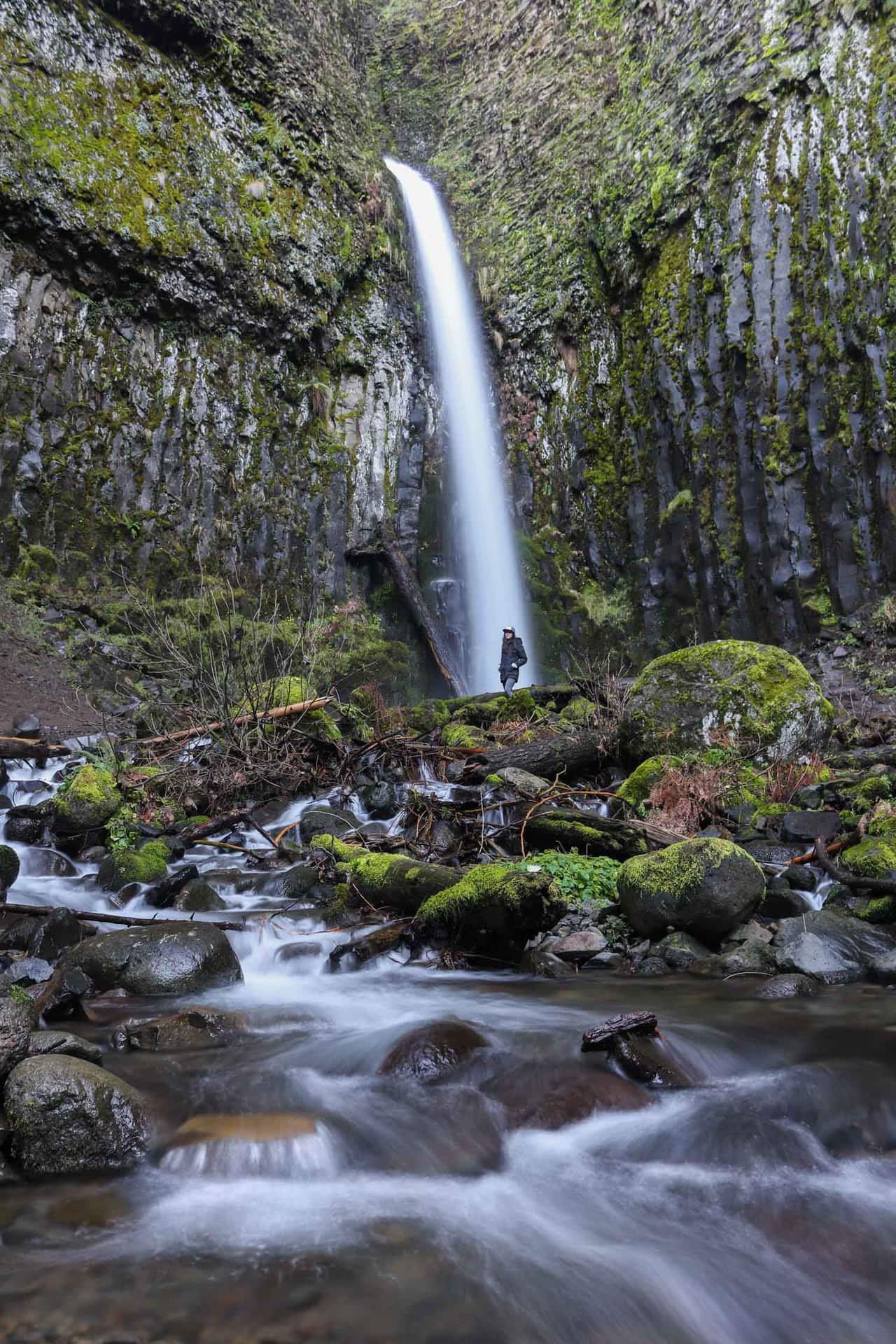
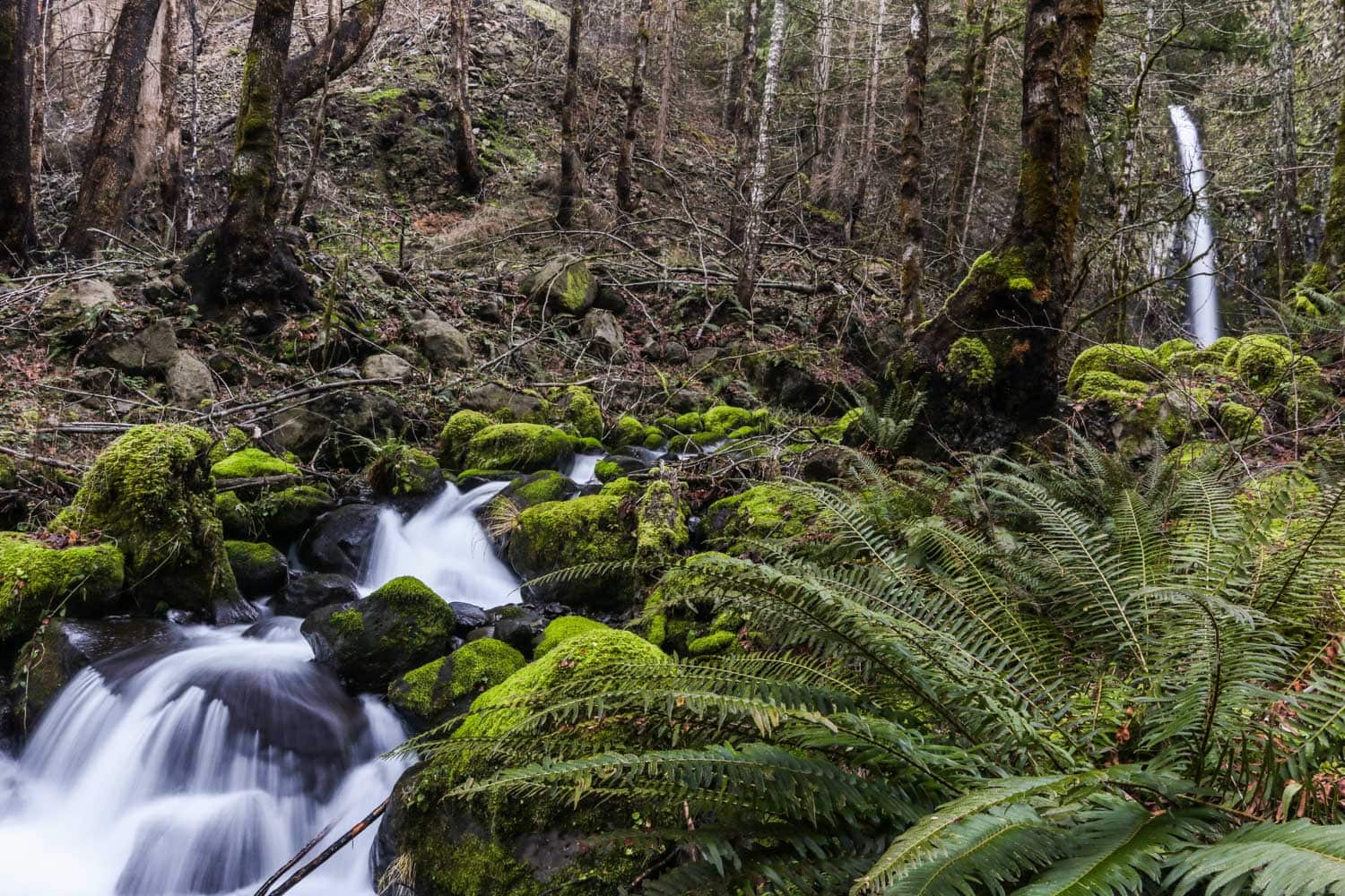
In my opinion one of the most underrated waterfall hikes in the Columbia River Gorge, the Dry Creek Falls Trail follows the Pacific Crest Trail to picturesque Dry Creek Falls (75 feet).
The trailhead is in Toll House Park near the famous Bridge of the Gods in Cascade Locks. You’ll cross underneath the highway and follow the signs for PCT South. The trail is relatively flat and doable for most people.
I like this particular hike so much because it’s fairly quiet and can be combined with other Oregon Columbia River Gorge attractions.
The Bridge of the Gods, made (even more) famous by Reese Witherspoon in the movie Wild, is basically adjacent to the start of the trail, while nearby historic Cascade Locks Marine Park is worth wandering around, too.
Additionally, this is also the location of the only craft brewery between Portland and Hood River on the Oregon side of the Columbia Gorge.
There’s no better way to finish off a Columbia River Gorge waterfall hike from Portland than by grabbing a pint or two at Thunder Island Brewing.
- Distance: 4 miles (out and back via PCT)
- Duration: 2 hours
- Difficulty: easy
- Trailhead: Bridge of the Gods Trailhead in Toll House Park, Cascade Locks
Oregon’s Columbia River Gorge Waterfall Hikes Map
This map shows the locations of the Columbia Gorge hikes to waterfalls highlighted in this blog post.
Beyond the waterfalls of the Columbia Gorge, there are a lot of other things to see and do in the area. Once you get to Hood River, you have four options.
- Return to Portland the way you came, through the western Columbia River Gorge;
- Cross the Columbia River to the Washington side and drive back to Portland that way;
- Continue to the eastern Columbia River Gorge and The Dalles for wildflowers and more hiking; or
- Turn south, cruise across the orchard-dotted Hood River Valley and loop back around Mt. Hood via the Hood Scenic Byway, completing the classic loop drive from Portland.
What Are Your Favorite Waterfall Hikes in the Columbia River Gorge National Scenic Area, Oregon?
More Pacific Northwest Destinations
- Best Things to Do in Crater Lake National Park, Oregon
- Amazing National Park Service Sites Near Portland, Oregon
- Best State Parks on the Northern Oregon Coast
- 8 Awesome Things to Do in Deschutes National Forest, Oregon
- Top Attractions in Mount Rainier National Park, Washington
- What to See and Do in Olympic National Park, Washington
- Top Things to Do Around Lake Quinault, Washington
- All National Parks in Washington State
- Best Places to See Mount Hood, Oregon


