Hiking Black Mountain, New Hampshire
Black Mountain is one of my favorite mountains we’ve climbed so far. The mountain is located in East Haverhill in eastern New Hampshire and is actually not that well-known outside of the Upper Valley. That’s really unfortunate, because it’s a wonderful mountain with great views and a fairly challenging hike to the summit.
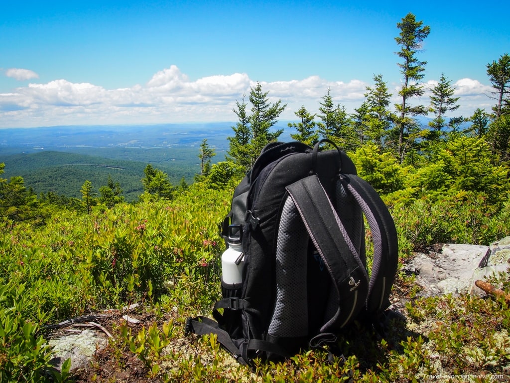
The two trails to the top are the Black Mountain Trail and the Chippewa Trail. The latter is by far the most scenic and interesting one, but is also a bit more difficult. The Chippewa trailhead starts off Lime Kiln Road at the parking area (there’s room for about three or four cars). It’s small indeed and easily missed, which is what happened to us too, and you should look for a sign with a hiker logo and a sign saying ‘Haverhill Heritage Trail 13: Lime Kilns’.
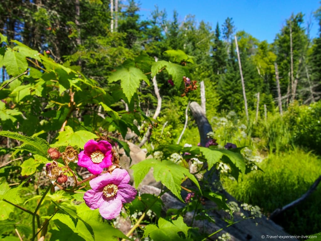
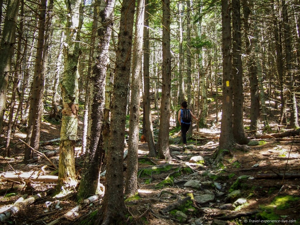
The trail itself is well-marked with yellow paint and for about half a mile (800 m) it runs through a brook and climbs the bank towards an old logging road. After a couple of minutes on this road, you will head left into the woods – which consist mostly of red pines – and begin your ascent of Black Mountain. Soon you will notice that the trail gets steeper and steeper as you climb up the ledges and ridges of the mountain.
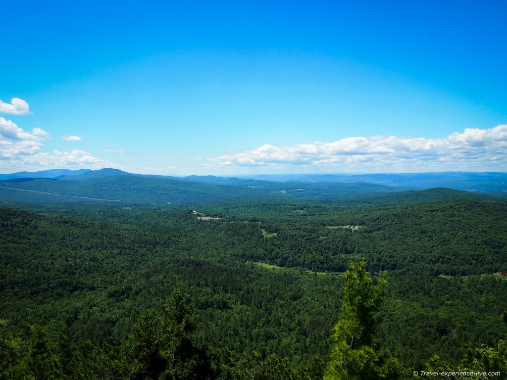
After about a mile (1.6 km) of hiking your efforts are rewarded by some wonderful views. 1.3 miles (2 km) in, the trail runs upwards on ledges offering excellent viewpoints. It continues to do so until you reach an outcrop from where you can see the actual summit. Just before the trail reaches the summit, it joins the Black Mountain Trail coming from the other side of the mountain.
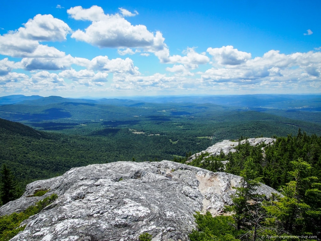
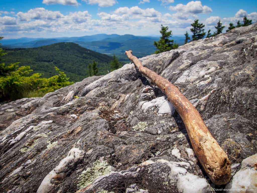
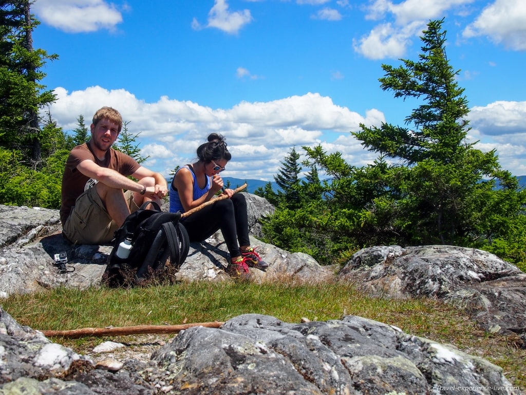
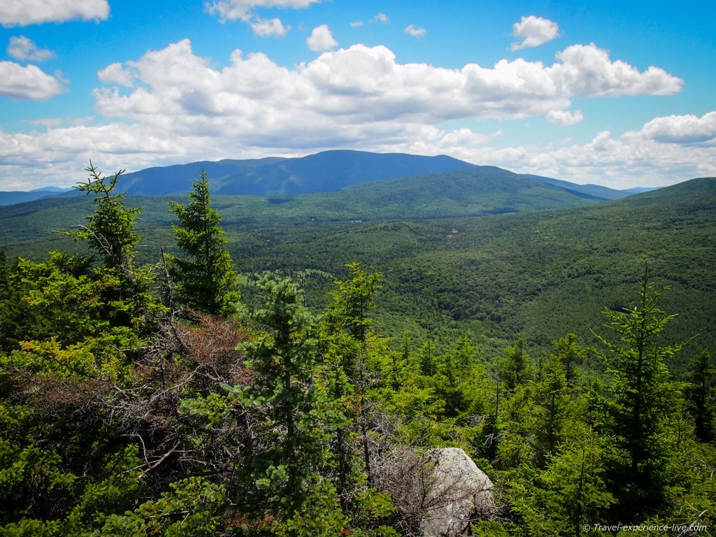
The summit itself is fantastic. Its bare rocky surfaces are surrounded by small pine trees and dotted with small patches of soft grass and moss, which in my opinion would make for ideal spots to take a nap or even camp out. The trail is surprisingly steep and challenging, but that summit was absolutely worth the effort. There’s a great view of Mount Moosilauke from the summit. I did in fact lie down in a grassy patch for a bit, while Caroline was carving her walking stick, and closed my eyes.
The descent is – obviously – steep as well and on your way down you should watch out not to slip. The forest floor is covered in a thick blanket of pine needles which don’t allow for much grip.
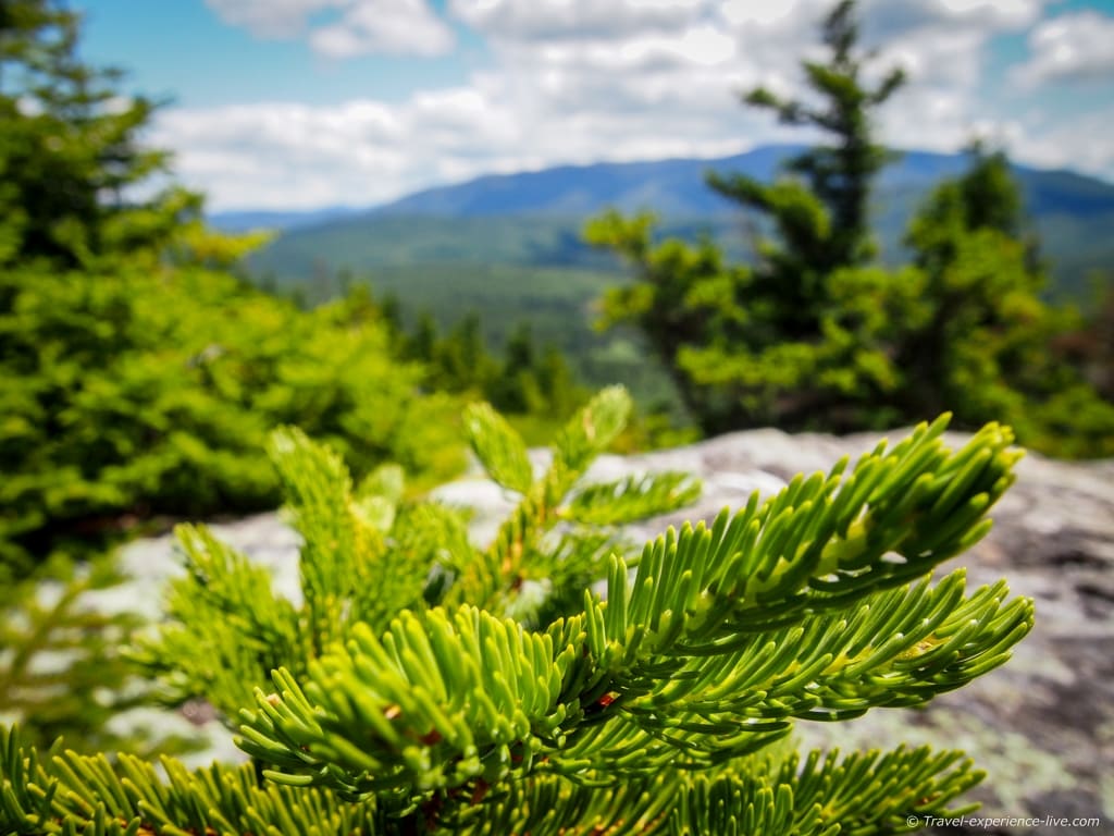
1.8 miles (2.9 km) one way, the Chippewa Trail is not the longest of all hiking trails, but it’s surely worth it. Because of its steepness it still took us an hour and fifteen minutes to reach the summit; the way back down is about an hour. Including some time to enjoy the views, you should count on three hours for a roundtrip. It’s definitely a great morning or early afternoon hike.
If you happen to be around, go check it out.




Wonderful pictures, wonderful view.
Me and my bf will be heading to Khao Yai National Park and few others in Asia this December, Khao Yai seem to have many trails totally 50km according this site;
http://www.thainationalparks.com/khao-yai-national-park
But just the thought freaks me out that there are many predetors like bears and leopards.
Beautiful photos! The pink flowers in the picture look to be one of the native rasberries
Thanks, Bob!