Hiking Blueberry Mountain, New Hampshire
On Saturday, which up until then was the warmest day of the year, Caroline and I took advantage of the spectacular weather to bag another mountain, our fourth one of the year.
We headed to Benton, on the western edge of the White Mountains of New Hampshire, about an hour’s drive from our base in Thetford, Vermont.
Blueberry Mountain is one of the six mountain summits in the small but scenic Benton Range. It’s one of only two mountains in that range that have official hiking trails to their summits—the other one is Black Mountain.
Hiking the Eastern Blueberry Mountain Trail
The Blueberry Mountain Trail is a so-called point-to-point hike, which means that, if you want to hike its entire length, you’ll need to have two cars, one on each end of the trail. We, however, decided to hike up the eastern flank and back down the same way.
The eastern terminus of the trail is accessed by turning onto Sanatorium Road in Glencliff from Route 25. There was no street sign when we were there, but it’s the only possible road. After about a mile (1.6 kilometers), you should turn left onto North and South Road—again without sign, but it’s an unpaved road and there is a trail sign. The road was still closed for the season, so we had to park off Sanatorium Road and walk along North and South Road for about half a mile or so (800 meters).
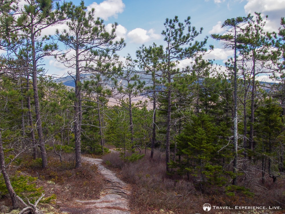
The trailhead lies to the left. It starts by following a rather rough logging road for a while, before entering a dense coniferous wood. This is when the trail gets interesting. (The deciduous trees on the lower elevations didn’t have any leaves yet and weren’t a particularly beautiful.)
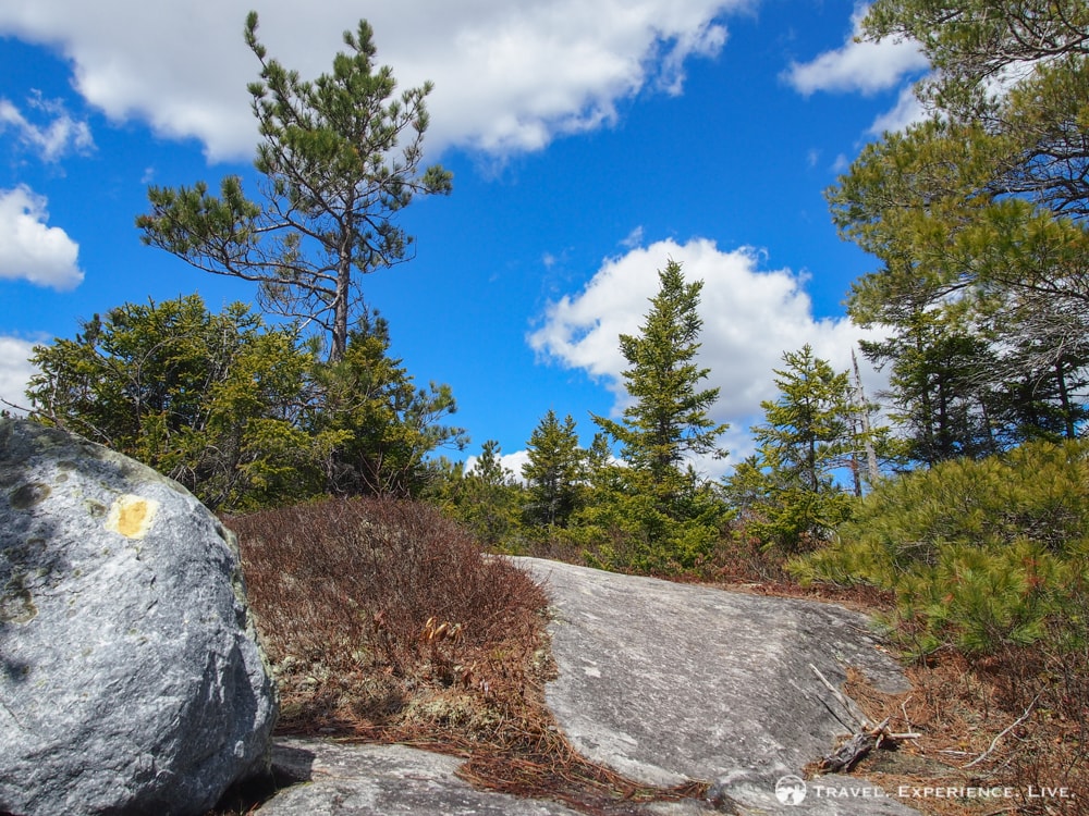
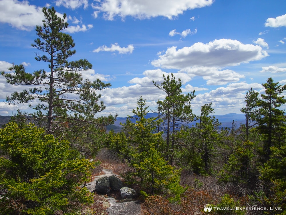
As the trail enters the evergreen wood, it begins to climb. Although the weather was brilliantly warm, there were still some left-behind patches of snow and ice in the most sheltered places. We hiked up on the fairly moderate trail and eventually reached the first ledges, which already offered some amazing views to the south and east.
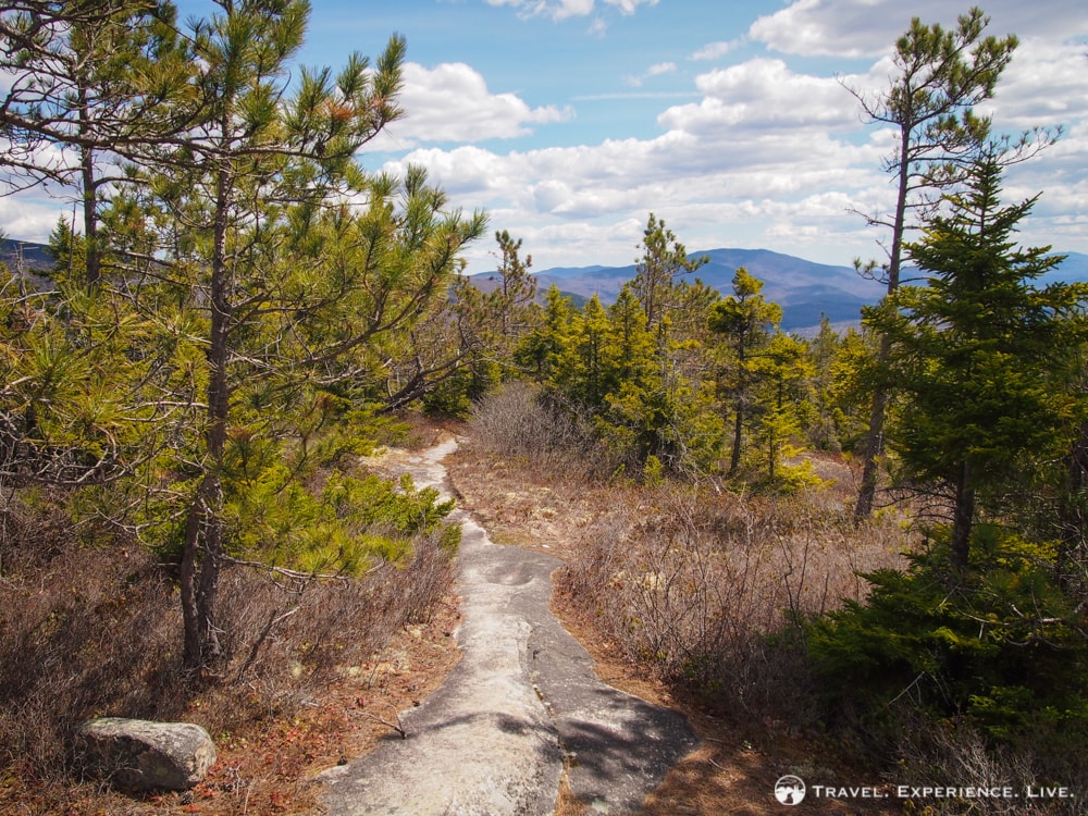
We kept ascending, taking the occasional scenic break and enjoying more mountain views, including an especially great one of Slide Brook ravine on Mount Moosilauke. Although the views weren’t panoramic, I didn’t have any complaints.
More hiking in New Hampshire: Mount Cardigan
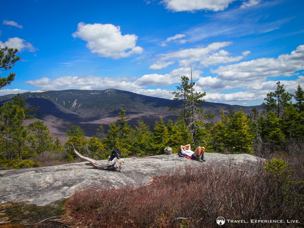
After 1.7 miles (2.7 kilometers), the Blueberry Mountain Trail then reaches the mountain’s summit. That was when things got confusing. There’s no clear summit sign, nor are there are trail signs anymore. Though the Blueberry Mountain Trail does continue down the other (western) side of the mountain, it isn’t officially maintained and is rather hard to find and follow.
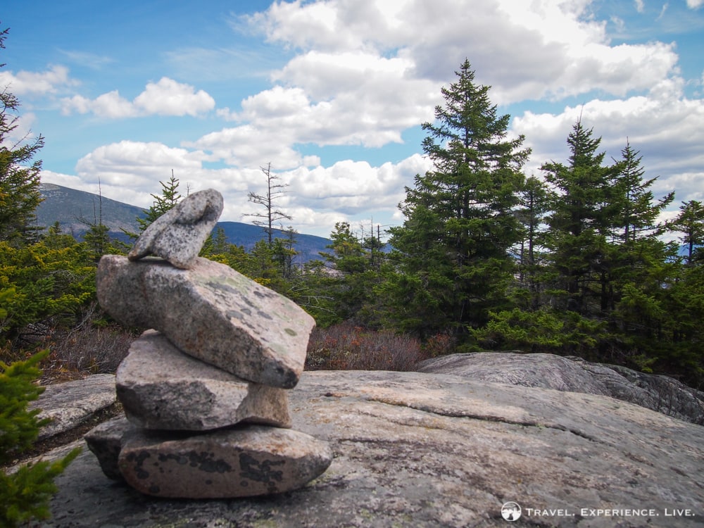
We turned back after eventually finding (what we think was) the summit and headed down to a ledge that we had passed a little earlier on the way up.

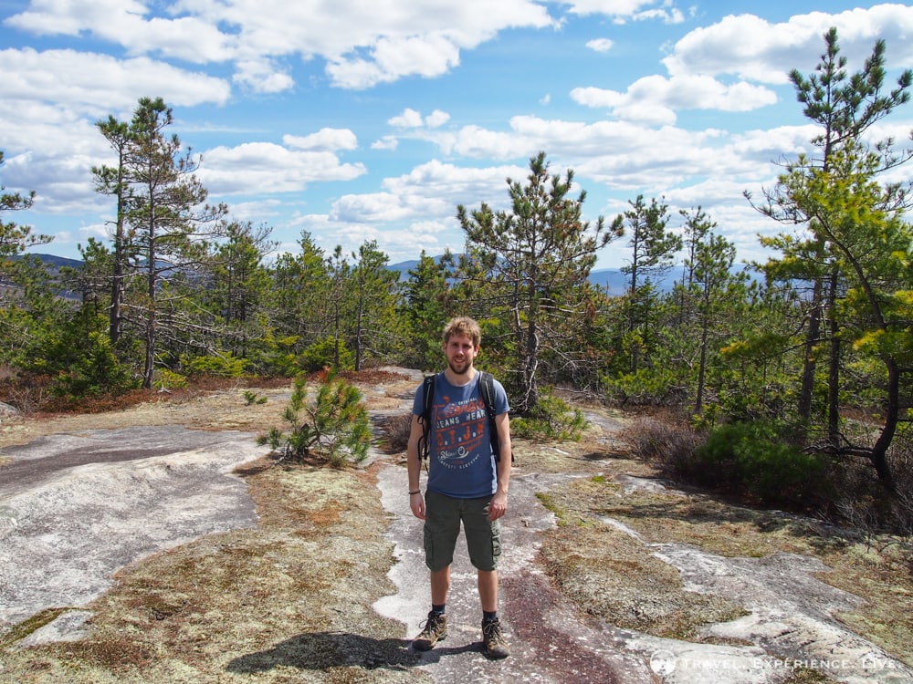
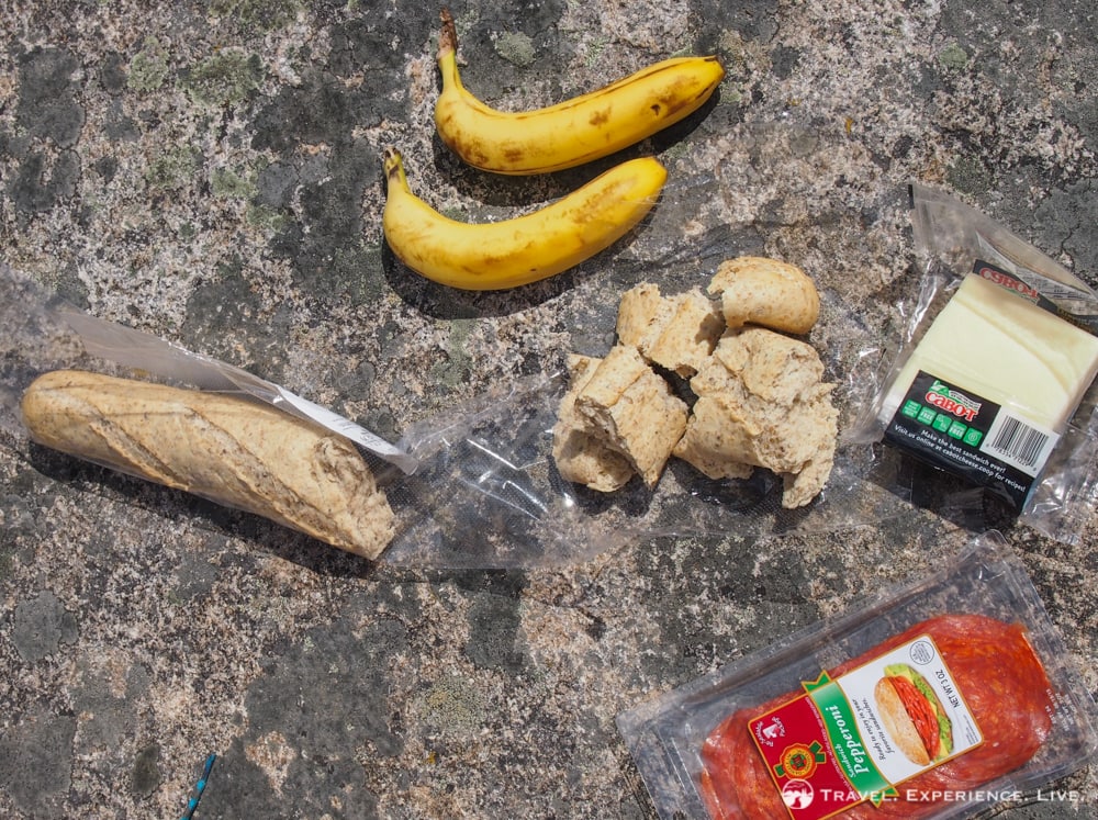
There, we enjoyed a hiker’s lunch of baguette, cheese, pepperoni and bananas—this time, we had made sure to bring food. We took a long break, enjoyed the pleasantly comfortable rays of the spring sun and took a bunch of photos. Blueberry Mountain is named appropriately: the entire upper half of the mountain is carpeted with blueberry bushes. I bet that it’s a great place to spot bears in the fall.
More hiking in New Hampshire: Mount Webster-Jackson Loop
The way down offered pretty scenic views as well, views that we had missed when looking the other way while ascending.
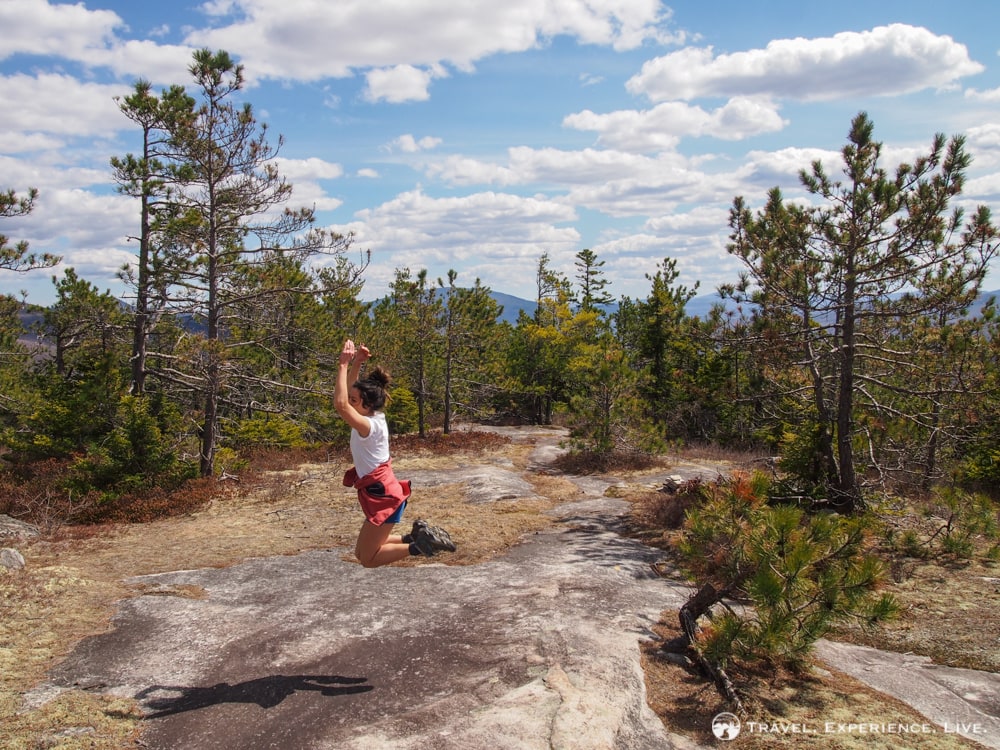
The eastern Blueberry Mountain Trail roundtrip, there and back again, is no longer than 3.4 miles (5.5 kilometers), making for a perfect Saturday afternoon activity. We were out and about for approximately three hours, roughly an hour up, an hour down and an hour of scenic food breaks.
On the way home, we bought a few drinks and ended a beautiful spring Saturday sitting on the porch and brainstorming exciting new travel plans.


