Virginia’s Grayson Highlands: Eastern America’s Most Rewarding Hiking
If there’s one place that proves that America’s state parks can sometimes compete with its national parks, it has to be Virginia’s Grayson Highlands.
As you will discover as you read this post, the hiking in Grayson Highlands State Park is world-class and surprisingly rewarding.
Music, Wildlife and Adventure in Virginia’s Grayson Highlands
In the far southwest of Virginia, near the Blue Ridge Parkway and the North Carolina border, lies the Grayson Highlands region. This region encompasses Grayson Highlands State Park and the Mount Rogers National Recreation Area.
Grayson Highlands State Park features excellent facilities, such as campgrounds, a visitor center and many miles of hiking trails, including a short section of the Appalachian Trail.
The park also caters toward horseback riders. It has a designated camping area for horses, including stables and horse trailer parking, and a part of the fantastic Virginia Highlands Horse Trail runs through the park.
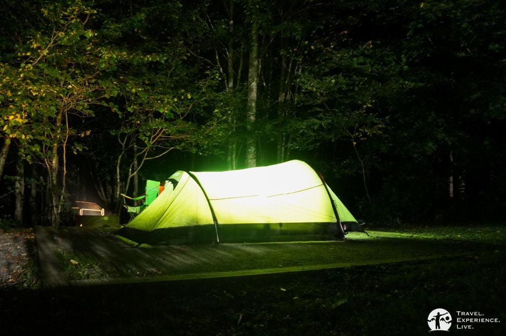
Camping in Grayson Highlands State park is only allowed at the campgrounds in the park. People who want to do some wild camping will find plenty of superb and scenic sites in the adjacent Mount Rogers National Recreation Area.
Looking for a new sleeping pad? Check out the ALPS Mountaineering Featherlite Pad.
A Popular Festival Venue
Grayson Highlands lies along the so-called Crooked Road, a scenic road of more than 300 miles in southwestern Virginia.
This amazing heritage road takes drivers on a journey through the birth region of Appalachian music—think bluegrass, country and blues. It runs through nineteen counties, four cities and more than fifty towns, on its way stopping by iconic Southern music venues.
In Grayson Highlands State Park, this musical heritage is kept very much alive. In June, the park is the setting of the Wayne C. Henderson Music Festival and Guitar Competition, named after a local musician and guitar maker.
In the fall season, the Grayson Highlands Fall Festival attracts leaf-peepers, bluegrass fans and history buffs alike with its spectacular fall foliage, live music and pioneer-living demonstrations.
Wild Ponies!
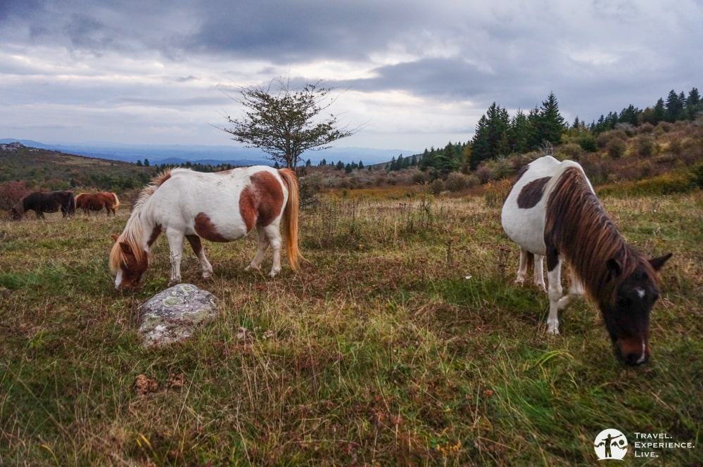
One of the biggest drawcards of Grayson Highlands is its wild ponies. Introduced in 1974 to prevent reforestation of the mountain meadows, the herd of ponies is free to roam the area. They’re found in both Grayson Highlands State Park and the Mount Rogers National Recreation Area.
The Wilburn Ridge Pony Association manages the ponies, rounding them up in fall for an annual auction and to check their health. The auction coincides with the Grayson Highlands Fall Festival.
It’s incredibly fun to walk among wild ponies, but please keep in mind that feeding or petting them is not allowed. Even though they might seem to like human food, in reality, it does them more harm than good. Also, they’re feral animals.
It’s not because they’re typically quite friendly and tolerant that they can’t bite or kick. Try to keep your distance and don’t bother them. Taking pictures of them (not with them) is, of course, encouraged.
Soul-Satisfying Hiking in Grayson Highlands
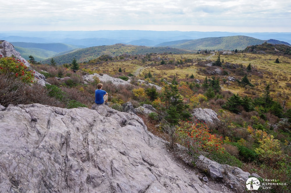
It doesn’t get much better than hiking in mountain meadows, surrounded by wild ponies and with a bluegrass tune in your head. This pretty much sums up the experience of hiking in Grayson Highlands.
Although this is not a national park, there is world-class hiking in Grayson Highlands, which is one of America’s greatest state parks. It has even been said to be one of the North America’s most rewarding hiking destinations.
Those are not my words, though. They’re words by Jennifer Pharr Davis, National Geographic Adventurer of the Year and holder of speed records on both the Long and the Appalachian Trail. If she says hiking in Grayson Highlands is worth it, you better believe it.
In the market for a great pair of hiking shoes? I recommend taking a look at the Adidas AX2 Hiking Shoes. They are by far the best hiking footwear I have ever used; I wear them at the gym and on the trails.
Suggested Hiking Trails in Grayson Highlands
Grayson Highlands State Park is the gateway to Grayson Highlands, to the Appalachian Trail in southern Virginia and to the highest mountain in the state, Mount Rogers.
There are several different hiking trails in Grayson Highlands State Park. None of them is particularly long—it’s a fairly small park. They do, however, often combine exceptionally well to make longer loop hikes.
You can find a detailed map of the hiking trails in Grayson Highlands State Park right here. You will also receive the same map when you enter the park and pay your admission fee.
I personally recommend the following hiking trails in Grayson Highlands.
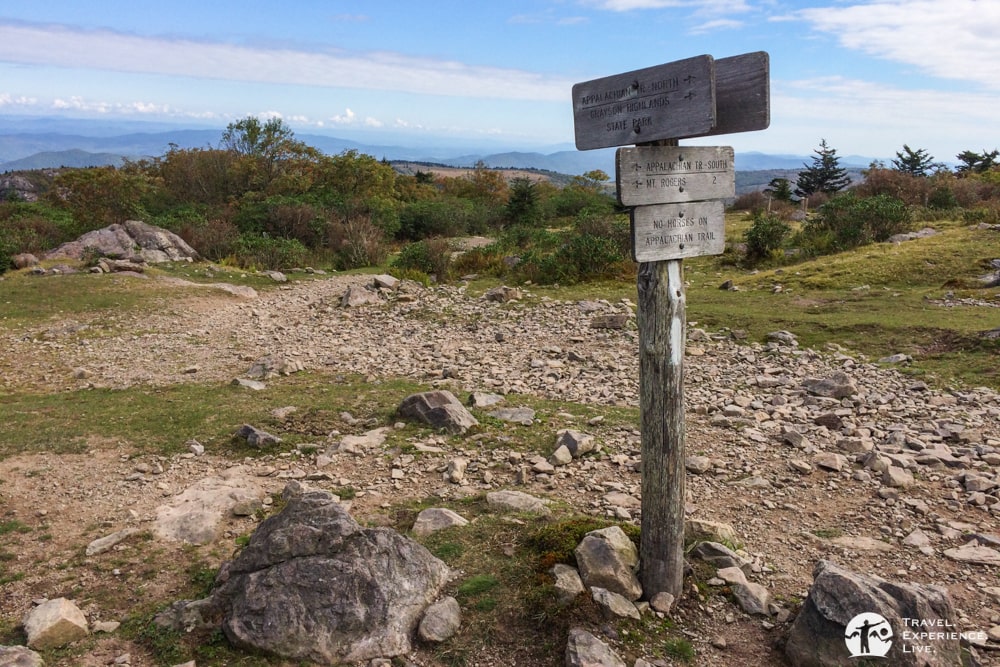
For Wildlife: Appalachian Spur, Appalachian and Rhododendron Trails Loop
The combination of these three trails is the perfect introduction to Grayson Highlands State Park. It’s a counterclockwise loop starting at the Massie Gap parking lot. The first short section runs along the road and the pit toilets to the Overnight Backpacker’s lot, which is the starting point of the Appalachian Spur Trail.
The 0.8-mile (1.3-kilometer) Appalachian Spur Trail leads upward through a rock-strewn forest. This is an area where you can often spot ponies wandering through the trees. Seeing a white pony in a dense forest seems almost surreal—as in a fairy tale. After crossing a clearing, the trail ends at a T-junction with the Appalachian Trail.
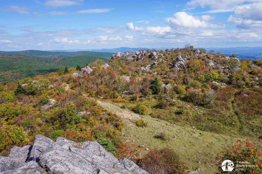
Turn left and follow the Appalachian, marked with its iconic white blazes. This is where you’ll see some downright amazing views. The trail runs through thickets of rhododendrons and past huge boulders, which are a lot of fun to climb.
Grayson Highlands is, incidentally, one of Virginia’s best bouldering destinations. Here, you’ll experience why.
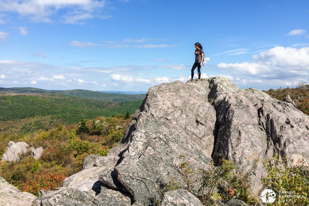
After about 0.5 miles (800 meters), the Appalachian Trail intersects with the Horse Trail North. This remarkably beautiful area offers expansive views and is a popular hangout for both people and ponies.
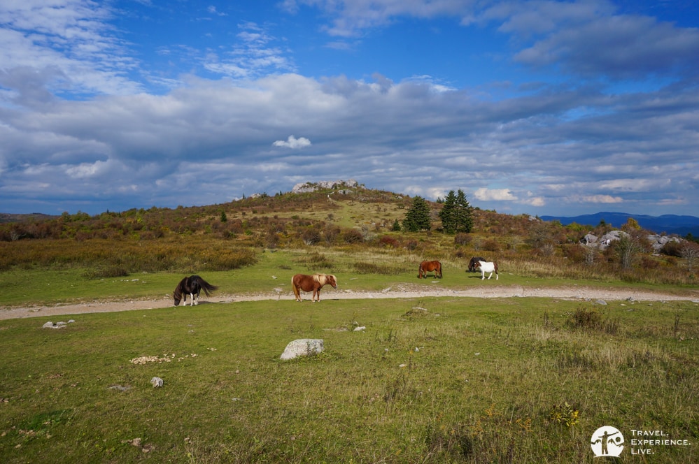
When you’ve soaked up the panoramic Blue Ridge Mountain view and said “hi” to the ponies, turn left and head down on the Horse Trail North.
After a few steps, the horse trail continues to the left while the 0.5-miles (800-meter) Rhododendron Trail on the right takes you back down to the Massie Gap parking lot.
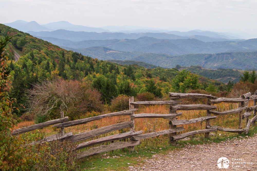
Even though this is a very short and moderate loop hike, it can take a few hours to finish. This is an exceptionally pleasant afternoon/early evening hike. There are so many fun things to do on the way that your total outing time may be a lot longer than you’d expect.
Trailhead: Massie Gap parking lot, Grayson Highlands State Park
Distance: Approximately 2 miles (3 kilometers)
Duration: 1 to 3 hours, depending on how much you stop to enjoy the views
For Commanding Views: Mount Rogers Trail
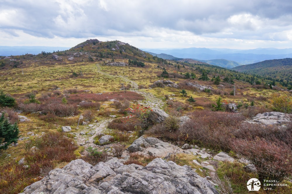
This is unquestionably one of the most rewarding day hikes on the East Coast. For me personally, it’s the best day hike I’ve ever done. It’s got everything. There are wild ponies, turkeys and deer.
The views are to die for. The landscapes are unique, their variety nothing short of impressive. And there’s amazing camping, too.
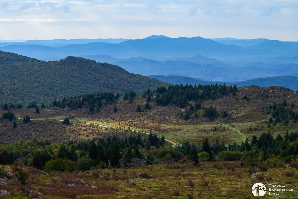
This hike also begins at the Massie Gap parking lot in Grayson Highlands State Park. You can either do this as a long day hike or opt to make it an overnight trip.
The first 1-mile (1.6-kilometer) section of the hike is in Grayson Highlands State Park while the second 3.5-mile (5.6-kilometer) section lies in the neighboring Mount Rogers National Recreation Area.
Keep in mind that camping in Grayson Highlands State Park is only allowed at the campgrounds. In the Mount Rogers National Recreation Area, however, you can pitch your tent or hang your hammock wherever your heart desires.

The mathematical geniuses among you will already have concluded that this out-and-back hike is 9 miles (14.5 kilometers) long. It took Caroline and me about five hours to complete.
If that seems long to you, it is due to the breathtaking landscapes this hike runs through. It would be a shame not to stop regularly to take in the views.
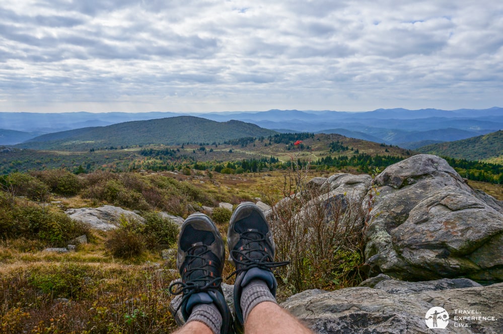
The hike is mostly on the Appalachian Trail, except for the first short section on the Rhododendron Trail and the last stretch on the Mount Rogers Spur Trail. The latter trail leads to the summit of Mount Rogers. With an elevation of 5,728 feet (1,746 meters), this is the highest mountain in Virginia.
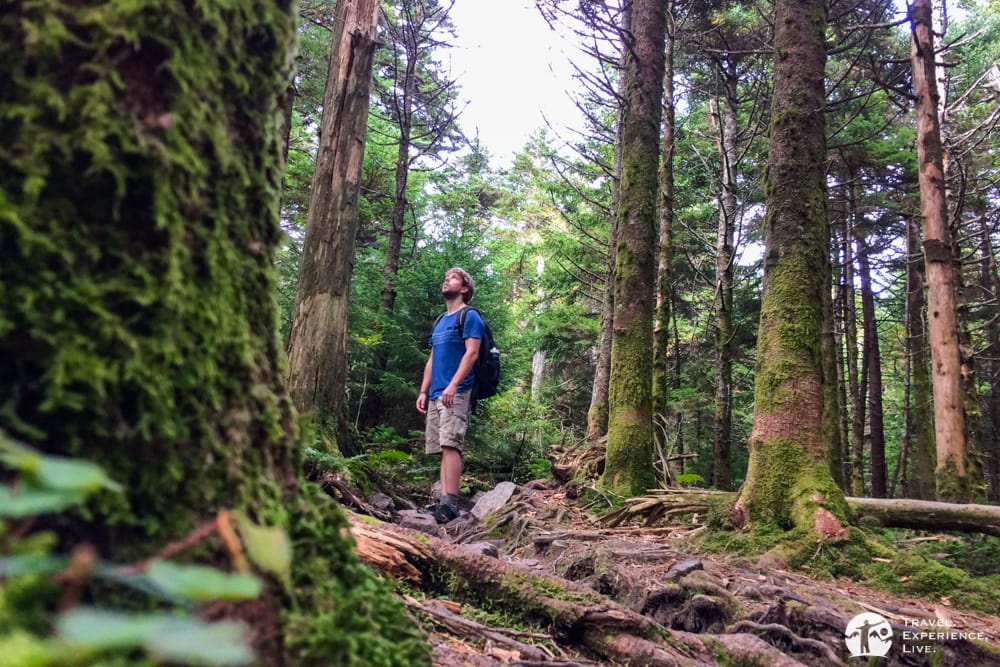
One thing to know, though, is that there are no views from the summit whatsoever. The very last few hundred yards (meters) are through a lush, mossy and ferny pine forest.
I’m just saying that so that you’re not disappointed by the summit. The real beauty of this hike lies on the way up (and down). It would be hard to beat those panoramic views anyway, even from a mountain top.
Trailhead: Massie Gap parking lot, Grayson Highlands State Park
Distance: 9 miles (14.5 kilometers)
Duration: 5 hours
For Waterfalls: Wilson Creek and Cabin Creek Trails
The trailhead of the 1.8-mile (2.9-kilometer) Wilson Creek Trail, a loop trail, lies at the Hickory Ridge Campground just across the road from the camp store.
When hiking in a counterclockwise direction, the first part of the hike leads, fairly steeply, down into the forest. It’s a nice and quiet woodsy walk.
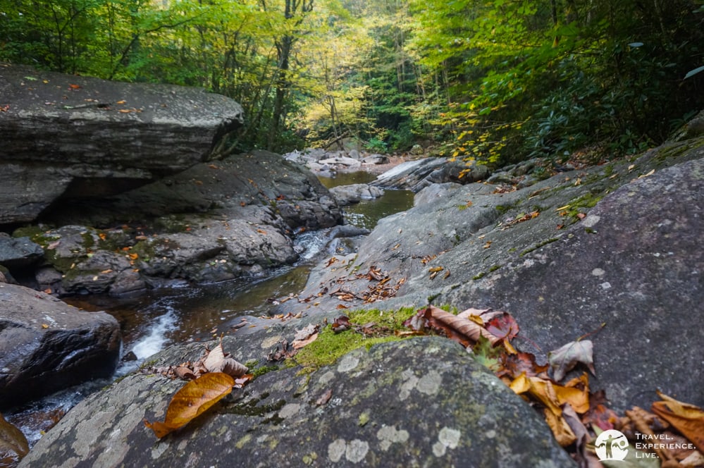
Once you’re at Wilson Creek, the trail follows the stream for approximately 0.5 miles (800 meters). This is a fun section to hike, leading through and sometimes underneath tall rhododendron bushes and other dense vegetation. Occasionally, you have access to the riverbank and can spot a small waterfall.
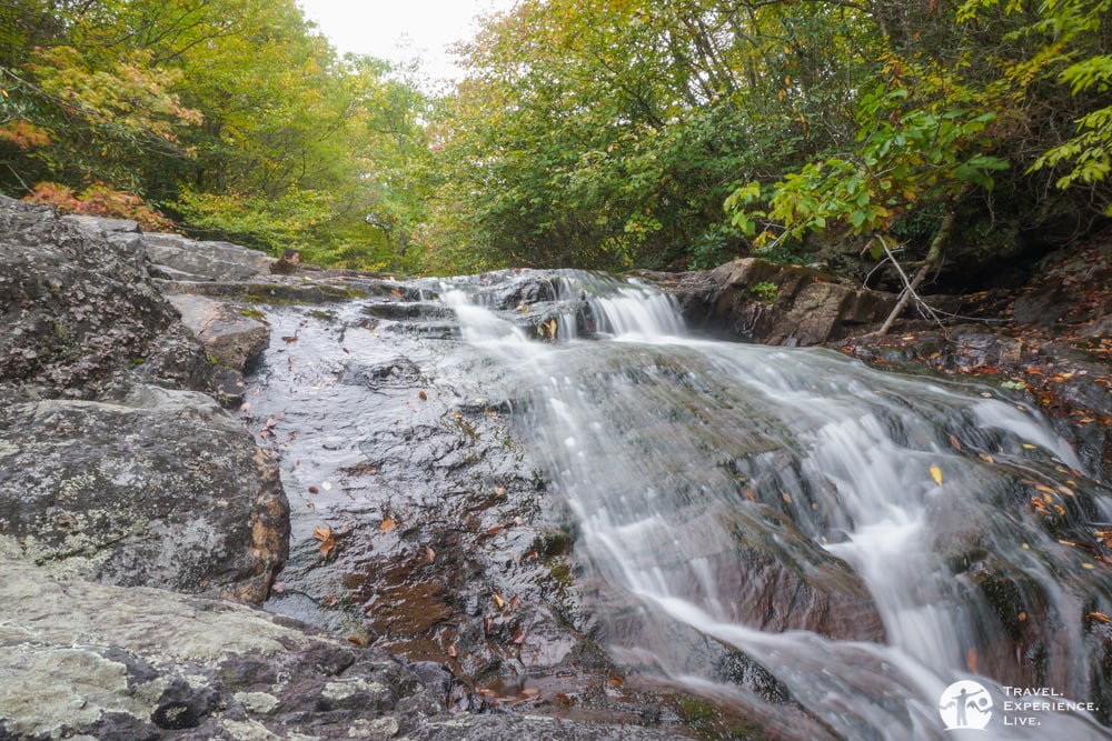
The way back up is equally as steep as the way down. However, the Wilson Creek Trail does connect to the Seed Orchard Road about halfway on the way up. This is a multi-use (hiking, mountain biking and horseback riding) road and is super-easy to walk on.
Trailhead: Hickory Ridge Campground, Grayson Highlands State Park
Distance 1.8 miles (2.9 kilometers)
Duration: 1 hour
When facing the hill at the Massie Gap parking lot, the Cabin Creek Trail’s trailhead lies to the left. You’ll reach it via a short bridle path through the grassy field. This hike is also 1.8 miles (2.9 kilometers) long and similar to the one above.
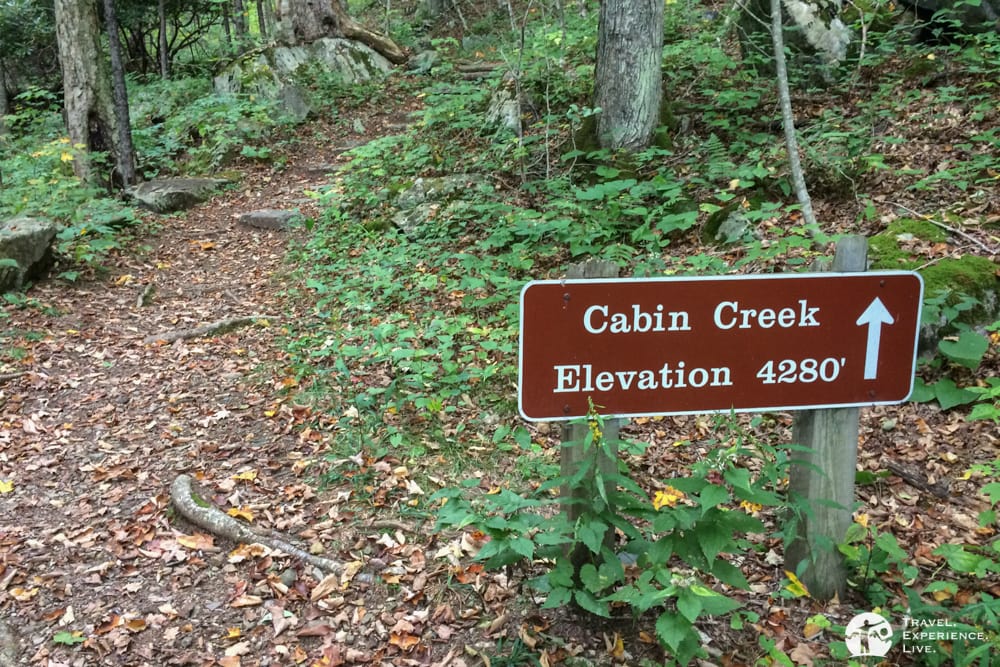
When hiking this loop trail in a clockwise direction, it first descends into a tall forest, after which it runs along Cabin Creek for a while before it turns sharply to the right and makes its way back up.
The way up follows on old logging road, which is now completely gone but makes it a pleasant, not too steep, ascent.
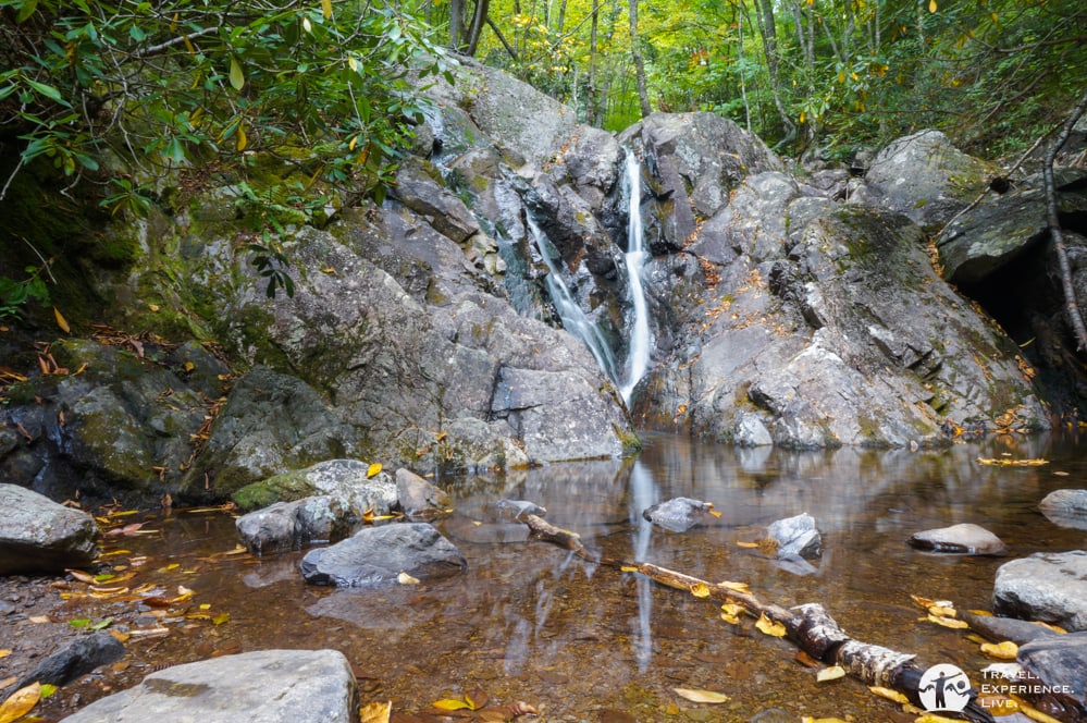
Cabin Creek itself has a few waterfalls, some taller than others, but none are exceptionally impressive. Just like the Wilson Creek Trail, the Cabin Creek Trail is worth it because of its forest scenery and bubbling mountain stream rather than its spectacular waterfalls.
Trailhead: Massie Gap parking lot, Grayson Highlands State Park
Distance 1.8 miles (2.9 kilometers)
Duration: 1 hour
For Mountain Summits: Twin Pinnacles Trail
The Twin Pinnacles Trail is a loop trail of no more than 1.6 miles (2.6 kilometers). It does, however, offers some spectacular mountain views. The trailhead lies behind the Visitor Center.
Even though the trail traverses the two highest points in Grayson Highlands State Park, this is an easy hike. This is because the Visitor Center already lies high up on the mountain. This gentle trail is best hiked in a clockwise direction.
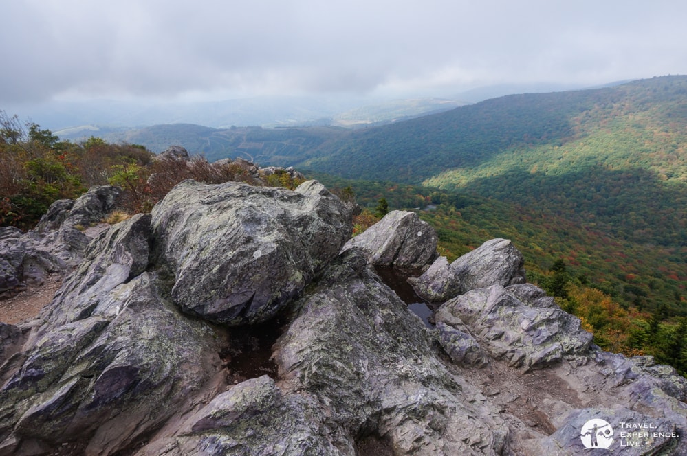
The first outcrop you’ll reach is Little Pinnacle (5,089 feet), which is actually higher than Big Pinnacle (5,068 feet). The views from both Twin Pinnacles are fantastic. That is, if it’s not too cloudy.
We didn’t see anything when we were at Little Pinnacle. Luckily, however, the sky had somewhat cleared up by the time we got to Big Pinnacle, which was about ten minutes later.
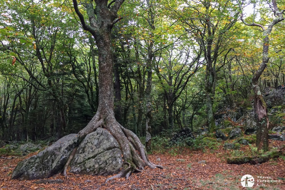
This pleasant trail leads through a patch of boreal forest, a type of forest that’s normally found in Canada or Alaska. Here, it thrives because of the high altitude and subsequent lower temperatures.
Trailhead: Visitor Center, Grayson Highlands State Park
Distance: 1.6 miles (2.6 kilometers)
Duration: 50 minutes
The only thing I can say to conclude this post is that visiting and hiking in Grayson Highlands is fantastic.
If you’re based on the U.S. East Coat or just visiting and are looking for a rewarding place to hike and camp, this is it.
For dozens more photos, I would like to direct you to this massive Grayson Highlands photo essay that I published a short while ago.





Hey! Thank you for sharing this great article with us, I really eniyed reading it. keep writing, you are doing such a great job.