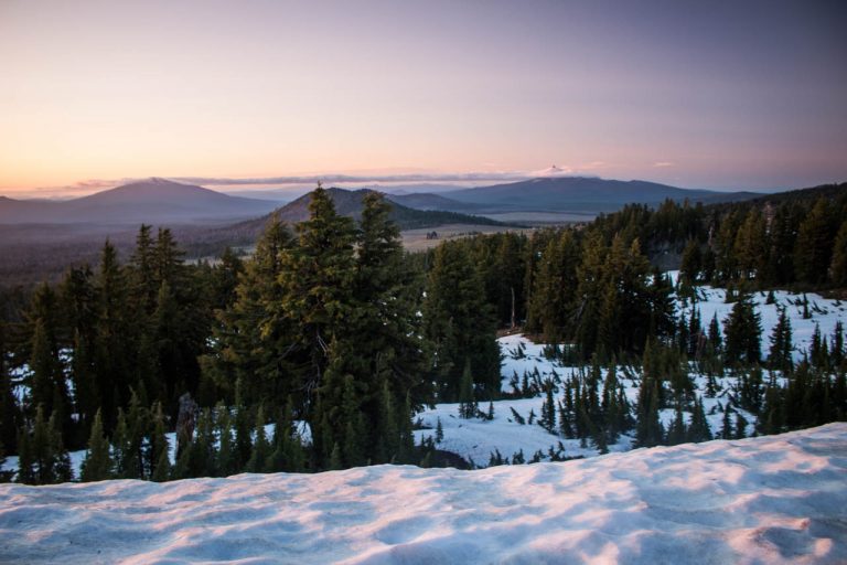
Hiking Mount Kearsarge, New Hampshire
Our last hike was in late June. We hiked to the summit of Camel’s Hump before spending a weekend in Stowe, after which we haven’t done much in terms of outdoorsy activities.
Unlike last summer, when we went swimming pretty much every other day, went camping in Maine and hiked up a dozen mountains, this summer, we seem to be much more occupied by other things.
Last Sunday, however, we put our laptops aside and strapped on our hiking boots again. We headed to Mount Kearsarge in New Hampshire where we met up with Courtney, Caroline’s preschool co-teacher. The three of us—we had two cars—decided to do a point-to-point hike instead of a loop or return hike.
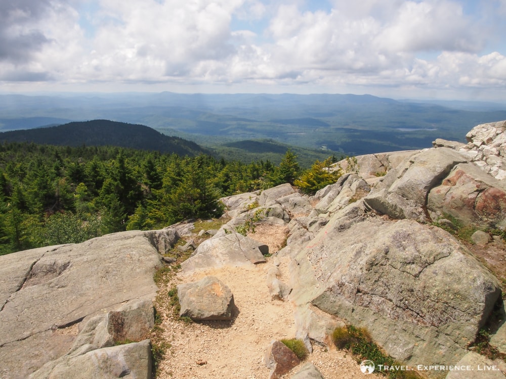
Hiking Mount Kearsarge on 3 Different Trails
Leaving one car at the Winslow State Park parking lot and picnic area (entrance fee: $4 per person), we drove to the Link Trail trailhead on Mountain Valley Road, on the left side of the road just south of the golf course, and began our hike there.
The Link Trail can be confused with the Lincoln Trail, to which it connects after approximately 0.5 miles (800 meters) of hiking on a wide logging road. The Lincoln Trail is a section of the much longer Sunapee-Ragged-Kearsarge Greenway trail and makes for a pleasant ascent of Mount Kearsarge.
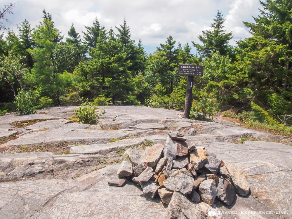
Mount Kearsarge is a so-called monadnock, a generic term for a lone-standing mountain that comes from Mount Monadnock in southern New Hampshire. At 2,937 feet (895 meters), the summit of Mount Kearsarge may not be that high, but because of its isolated location, the mountain still towers 2,100 feet (640 meters) above the surrounding valleys. Mount Kearsarge is one of only twelve mountains in New Hampshire that have a relative height of more than 2,000 feet (610 meters).
The Lincoln Trail is 4.2 miles (6.8 kilometers) long and runs over the northwestern slope of Black Mountain. It is a well-maintained trail, although we didn’t see anyone else on the trail at all. I, personally, really liked the fact that it was empty—it was a joy to hike through the wilderness without being disturbed by, having to wait behind or having to pass other people.
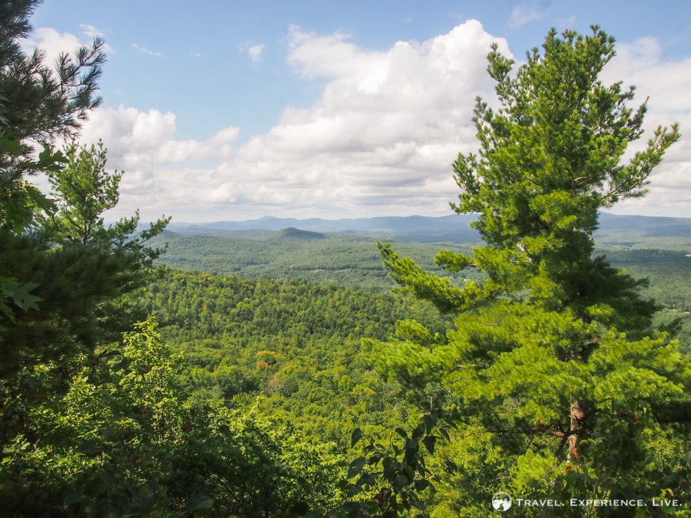
After about 2 miles (3.2 kilometers), the trail passes a sign saying ‘scenic lookout’. We turned left and ended up at Baker’s Ledge, providing a fine view and a nice spot for a break. The roundtrip from the Lincoln Trail to the Baker’s Ledge lookout is about 0.2 miles (0.3 kilometers) and is definitely worth the hike on the narrow and quiet overgrown path.
More hiking in New Hampshire: Mount Cardigan
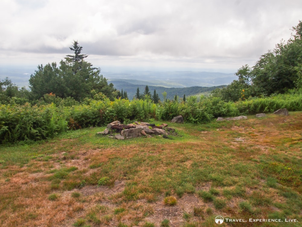
From Baker’s Ledge, it is another 2 miles (3.2 kilometers) to the Rollins State Park. The state park has a scenic picnic area, parking lot and fire pits. There are two routes to Mount Kearsarge’s summit—the Lincoln Trail that continues its ascent along a very steep section and the much more gradual and wide Rollins Trail. We continued on the Rollins Trail, a 0.5-mile (0.8-kilometer) hike on an old carriage road.
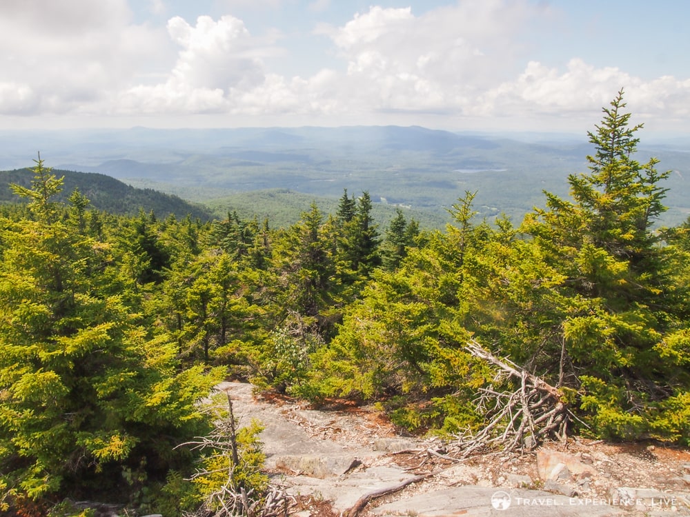
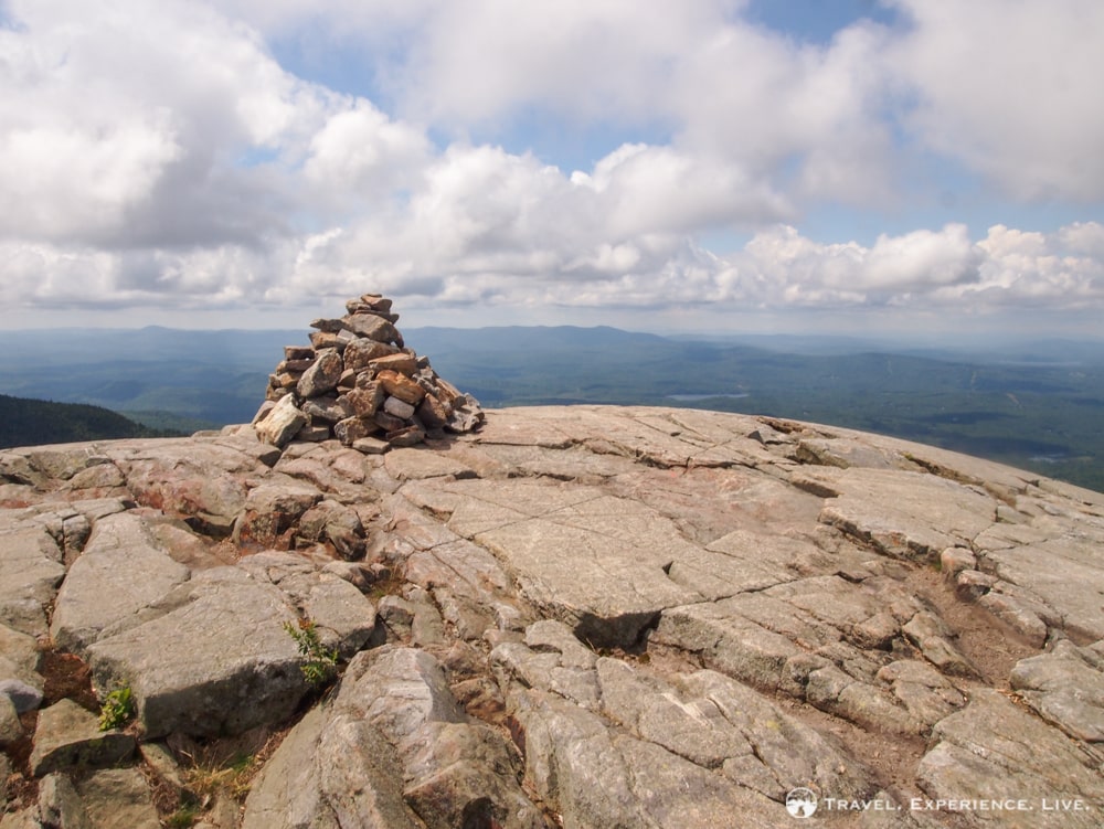
The summit of Mount Kearsarge is completely bare and topped with a fire tower. Just like Mount Cardigan, which is located and is visible in the north, Mount Kearsarge has a bald granite summit, the result of a fire a couple of centuries ago. This bare summit combined with the mountain’s isolated location results in spectacular views in every direction.
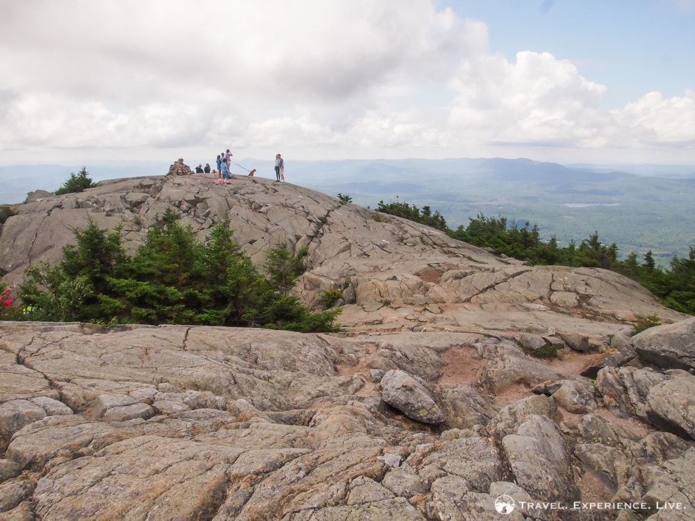

After spending half an hour at the summit, resting and eating lunch, we headed down the other side of the mountain on the Barlow Trail. The 1.7-mile (2.7-kilometer) Barlow Trail is dotted with beautiful views and descends gradually to the Winslow State Park parking lot and picnic area.
More hiking in New Hampshire: Moat Mountain(s)
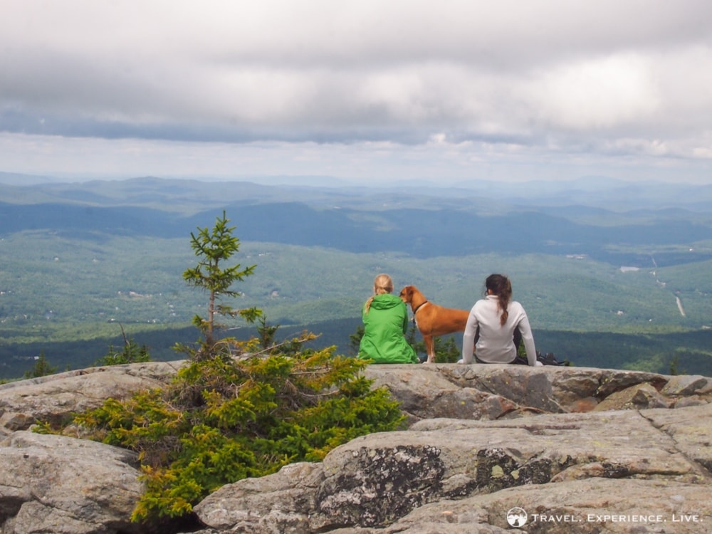
Hiking Mount Kearsarge can be done along four trails—the Lincoln Trail, Rollins Trail, Barlow Trail and Winslow Trail—three of which we included in our point-to-point hike. There are, however, multiple possibilities for loop, out-and-back, and point-to-point hikes on Mount Kearsarge.

Trail Info
Ascent
Lincoln Trail, including Baker’s Ledge: 4.2 miles (6.8 kilometers)
Rollins Trail: 0.5 miles (0.8 kilometers)
Hiking time: 2 hours and 30 minutes
Descent
Barlow Trail: 1.7 miles (2.7 kilometers)
Hiking time: 40 minutes
Total
Lincoln Trail-Rollins Trail-Barlow Trail: 6.4 miles (10.3 kilometers)
Hiking time: 3 hours and 10 minutes
Outing time: 3 hours and 40 minutes


