Hiking Mount Moosilauke, New Hampshire
Mount Moosilauke is a mountain in the southwest of the White Mountains in New Hampshire. Its summit is 4,802 foot (1,464 meters) high, making it the tenth highest peak in the White Mountains. People have been climbing that mountain – affectionately called the ‘Gentle Giant’ – for over 300 years and there are several great trails leading to the summit.
I finally properly tested my new hiking boots last Saturday, when Caroline and I hiked up to the summit and back. Several trails start at the base on the eastern side of the mountain at the Ravine Lodge, which is owned by Dartmouth College.
As it was our first serious hike of the year, we opted to take the most popular trail. The Gorge Brook Trail is the most direct route to the top. It starts at the Ravine Lodge across the Baker River. The trail runs alongside the Gorge Brook during the first 1.4 miles. After leaving the brook it starts to climb more steeply and eventually turns into several switchbacks. There’s a pretty awesome view of the Jobilduk Ravine on the way up.
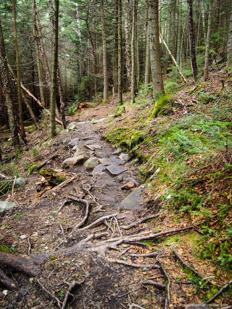
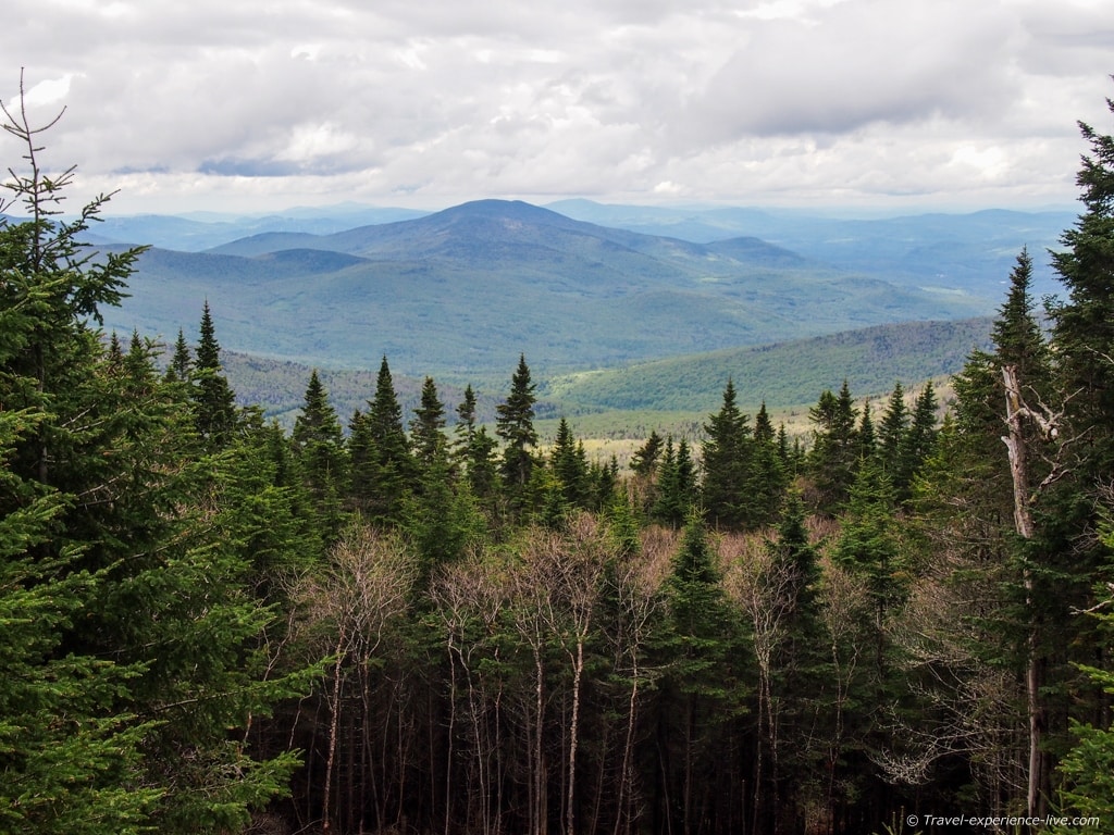
After leaving behind those switchbacks, we noticed that the trees were significantly smaller. Before long we hit the tree line, which is in fact a line, and we arrived at East Peak. From there it is a short climb to the actual summit.
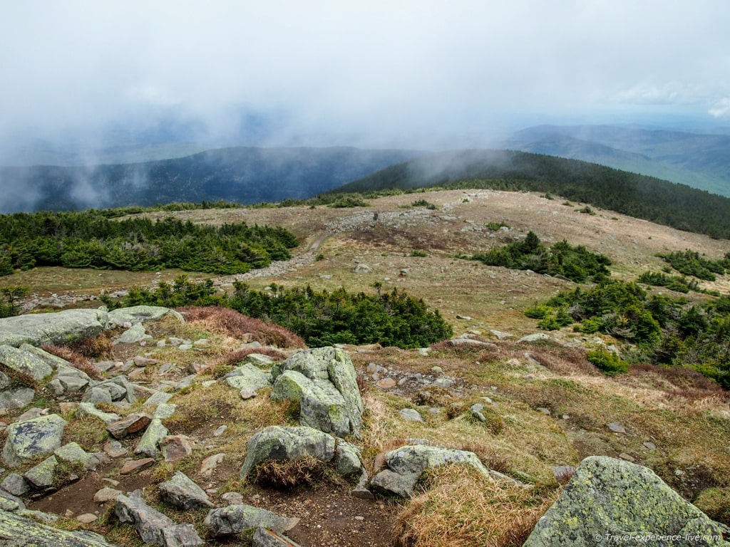
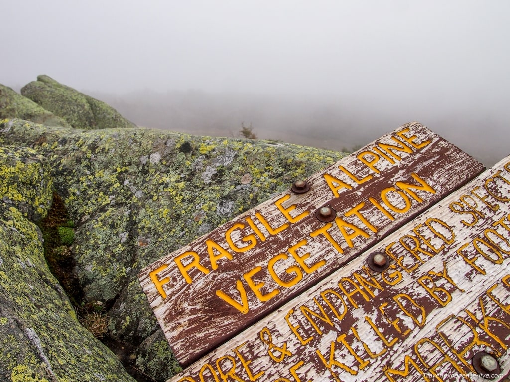
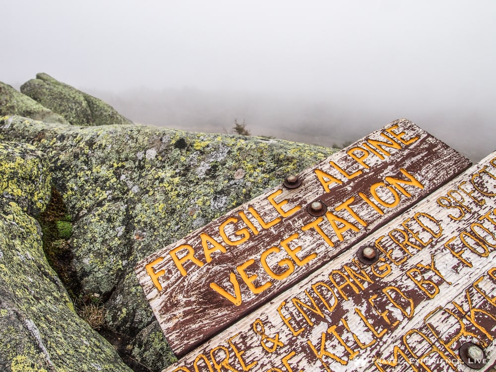
The views from the bare summit are supposed to be great, but unfortunately everything was covered in a thick mist when we got there.
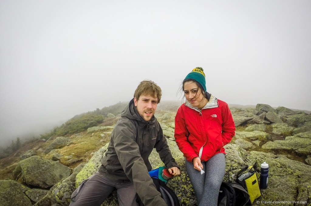
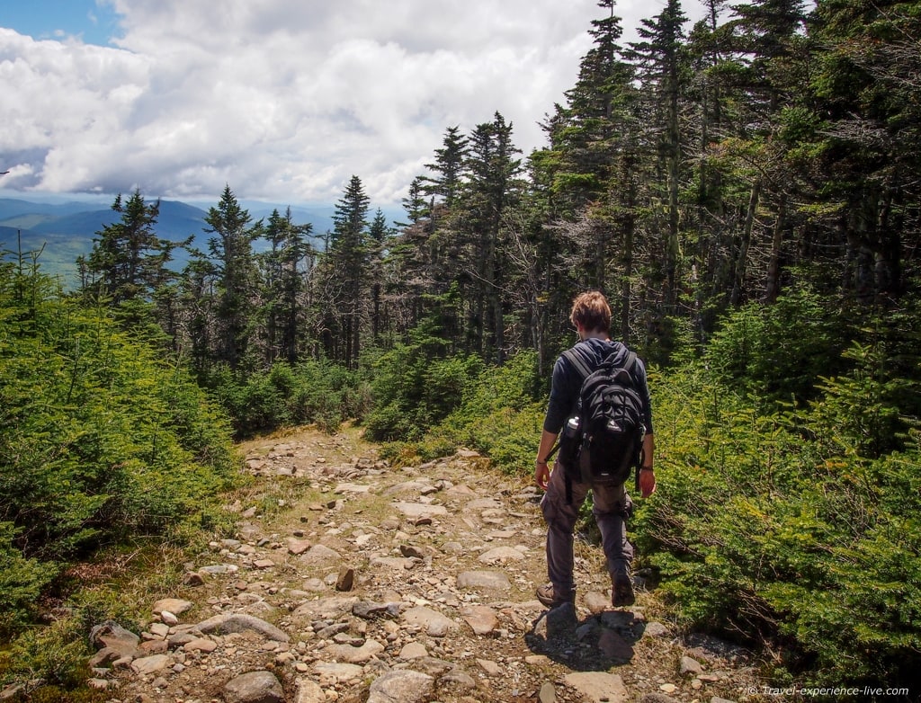
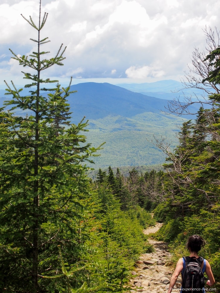
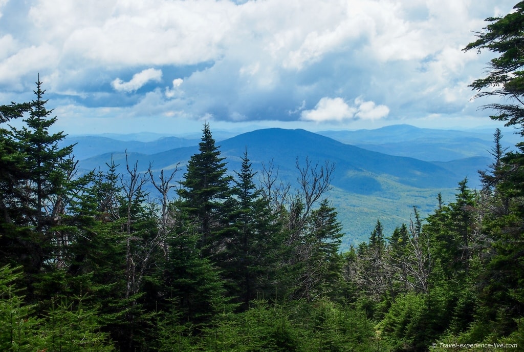
The Gorge Brook Trail is 3.7 miles (6 kilometers) long and it took us about one hour and forty-five minutes to reach the summit. While there weren’t any views to be seen there, we did see some nice vistas on the way up.
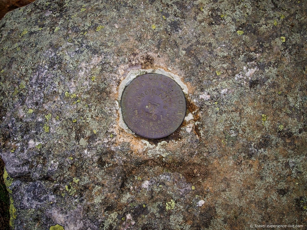
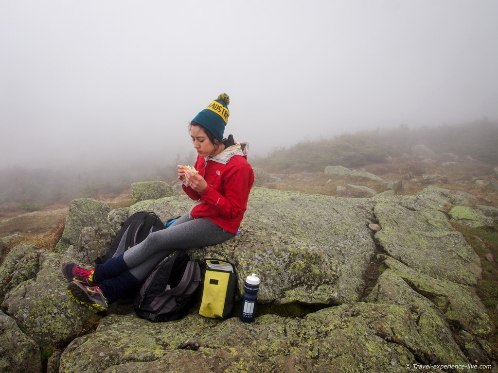
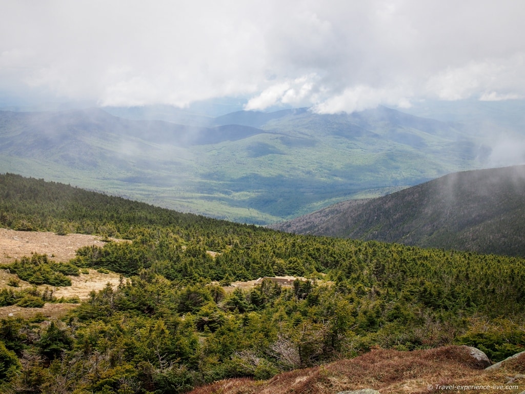
In 1860 the Prospect House was opened at the Mount Moosilauke summit. This was a stone hotel built after the example of the Mount Washington Summit House. It burned down in 1942, but the foundations can still be seen. There also used to be an emergency shelter at the summit, the stone foundations of which can also still be seen, a short distance below the summit. After eating our lunch, we headed back down on the Carriage Road.
The Carriage Road was constructed as a road to the hotel at the summit in the late 19th century. The trail is wide and gentle, with some occasional steep sections. The first stretch of the trail near the summit is part of the Appalachian Trail. The Carriage Road crosses a few other trails on the way down and we took the Snapper Ski Trail back to the Ravine Lodge.

The Snapper Trail is named after Ed ‘Snapper’ Harris, a man who worked on the mountain trails for several years. It is a fairly easy descent and the trail joins with the Gorge Brook Trail on the last stretch towards the Ravine Lodge.
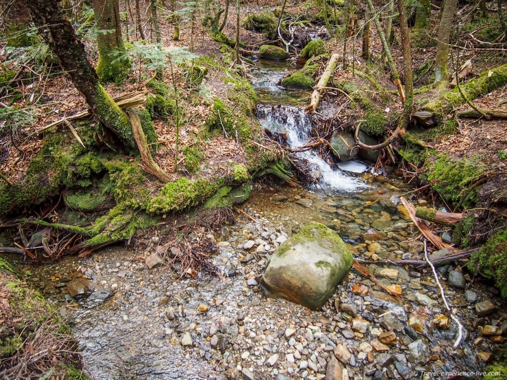

The total distance of that three-trail loop is 7.4 miles (12 kilometers) and it took us about three and a half hours to complete it.
Despite having bad luck with the weather at the summit, we did have a sunny ascent and descent. Especially the way down provided some incredible views of the White Mountains. In winter this combined loop makes for a great ski and snowshoe trail.
When hiking mountains like this, always prepare for bad weather. Bring a jacket or fleece sweater or both; it can get chilly and windy at the summit and when you’re sweaty from climbing, hypothermia is never far away. Food and a decent supply of water are essential too. It needs no saying that you should wear proper shoes as well.
This was the first of series of hikes Caroline and I plan to do this summer. Any suggestions are of course always welcome!



I’ve never been big on hiking. I love nature, don’t get me wrong. Though the more I see views like those in your pics, the more it makes me want to hike.
The views are the main reason why I like hiking so much. 🙂