Hiking The Priest via Crabtree Falls, Virginia
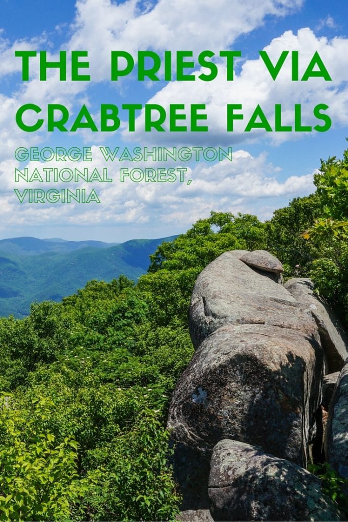
Virginia’s Blue Ridge Mountains are home to countless hiking trails, some short and easy, others strenuous and long. Among the best day hikes in this wonderfully lush and scenic region is the one to the summit of The Priest.
The Priest is a mountain in the Religious Range of the Blue Ridge Mountains—the tallest mountain in that range, in fact, rising up 4,063 (1,238 meters) above sea level. (The Religious Range is not a subrange of the Blue Ridge Mountains but simply a series of mountains with religion-themed names.) The mountain can be ascended in a few different ways, but definitely the most varied one is hiking the Priest via Crabtree Falls. Both the Priest and Crabtree Falls lie within George Washington National Forest.
Crabtree Falls are said to be the tallest cascade east of the Mississippi, consisting of five major waterfalls and a large number of smaller ones, all together totaling a drop of more than 1,000 feet (300 meters), which is the approximate height of the Eiffel Tower.
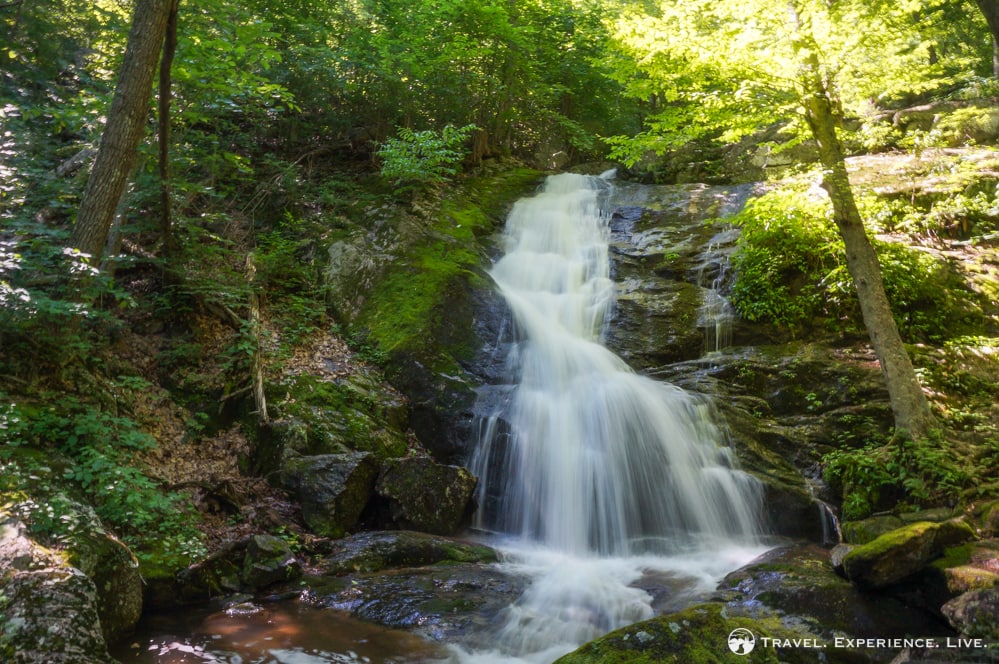
The trailhead lies off the Crabtree Falls parking lot on Route 56 in Montebello, a short but winding drive south of the Blue Ridge Parkway. The first views of the Lower Falls lie only a few hundred feet from the parking lot and are accessible with a wheelchair. The trail then ascends along a series of switchbacks and rocky and wooden staircases and passes waterfall after waterfall for about 2 miles (3.2 kilometers) until it reaches the top of Crabtree Falls.
Many people spend some time at the top, enjoying the views and catching their breath, before heading back down the same. More adventurous hikers can continue for about 1 mile (1.6 kilometers) on a basically flat trail through the woods to Crabtree Meadows, from where it is another 0.5 miles (800 meters) up a pretty steep gravel road to the intersection with the Appalachian Trail.
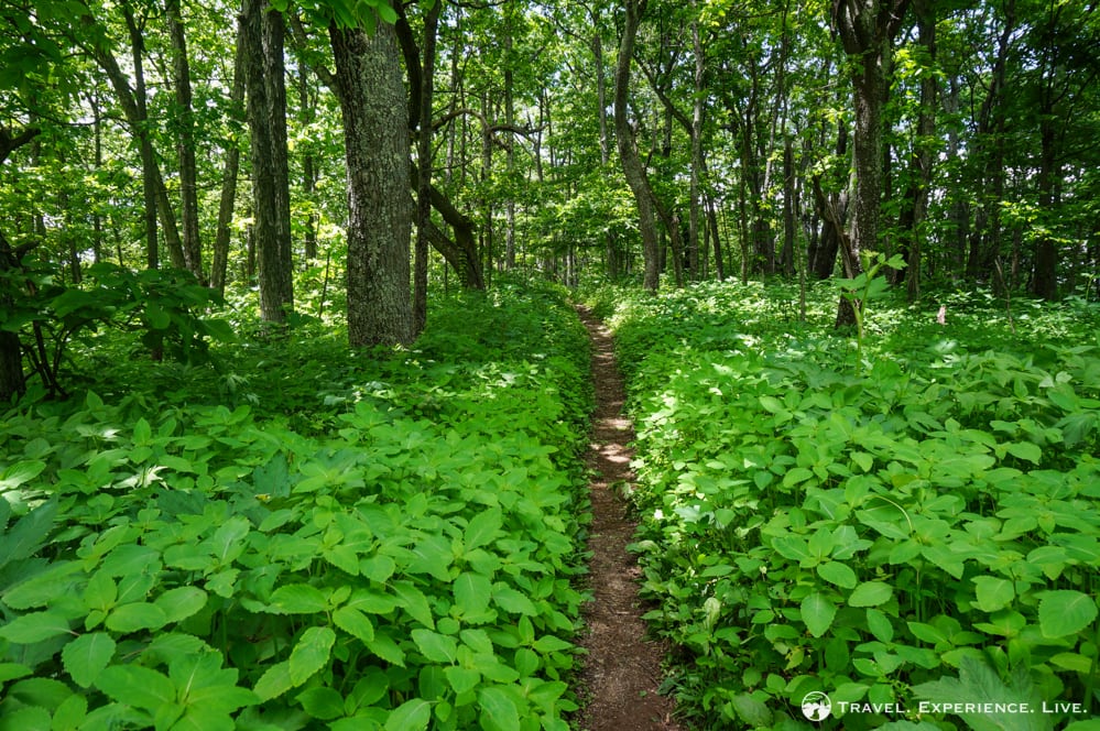
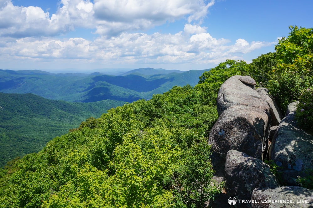
Turning left at that intersection, the trail then enters the Priest Wilderness and runs to the summit of the Priest. The section from the Appalachian Trail turnoff to the summit is about 1 mile (1.6 kilometers) long, bringing the total one-way distance of the Priest via Crabtree Falls hike at about 4.5 miles (7.2 kilometers). Although there aren’t any views from the summit itself, there is a stunning rocky ledge providing exceptional 180-degree views off a spur trail on the left side of the Appalachian Trail. It is pretty hard to miss this, as there are a number of obvious campsites, including remains of fire pits, just off the trail near the ledge.
This is an out-and-back hike, so the way back down is exactly the same.
I thoroughly enjoyed this pleasant day hike. Although it may seem fairly long and steep, it actually isn’t a challenging hike at all. The sheer variety—numerous waterfalls, woods, wildflowers and great summit views—definitely helps to keep things interesting as well.
The Priest via Crabtree Falls Photos
The Priest via Crabtree Falls Details
Length: 9 miles (14.5 kilometers) out-and-back
Hike duration: 4.5 hours
Outing duration: 5.5 hours
Trailhead location: Crabtree Falls parking lot in Montebello, off Route 56. Note that there is a $3 fee per vehicle in this particular parking lot in George Washington National Forest.
On most of my hikes, I wear a pair of Adidas AX2 hiking shoes, which are easily the best hiking footwear I’ve ever owned.



I loved your photos and wish I were able to go on hikes like that now. Doesn’t look like a good place for a bad knee, though.
Barbara, yes there are lots of stairs to climb on this particular hike. Not recommended if you have a knee that doesn’t cooperate.
Zo leuk om te lezen. Ik heb zo een mooie herinneringen aan m’n verblijf als au pair in Virginia via http://www.jobstop.be. Hele mooie tijden!