Hiking Smarts Mountain, New Hampshire
Last Sunday Caroline and I went on another hike. It’s already been three weeks since our last hike, up Franconia Ridge and to the summit of Mount Lafayette. It was about time we headed out again.
The weather wasn’t as good as last time though. It was a chilly afternoon. Grey clouds covered the sun and a strong northerly wind made it feel colder than it actually was. Some small rain drops fell down occasionally.
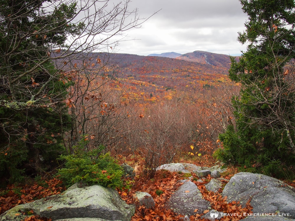
It was like the ‘perfect’ fall day.
Smarts Mountain is located in the town of Lyme in western New Hampshire, about a half-hour drive from Thetford, Vermont, where we live. The mountain’s summit is a prominent flat dome, a landmark that is visible from most of the surrounding area.
The southern trailhead lies off a dirt road (the Lyme-Dorchester Road) and there is an information board and a small parking lot. From the trailhead there are two separate trails leading to the summit, one of which is part of the Appalachian Trail, allowing for a nice loop. We ascended along that Appalachian Trail section, the Lambert Ridge Trail. Our way down ran along the Ranger Trail.
Hiking Smarts Mountain via the Lambert Ridge Trail
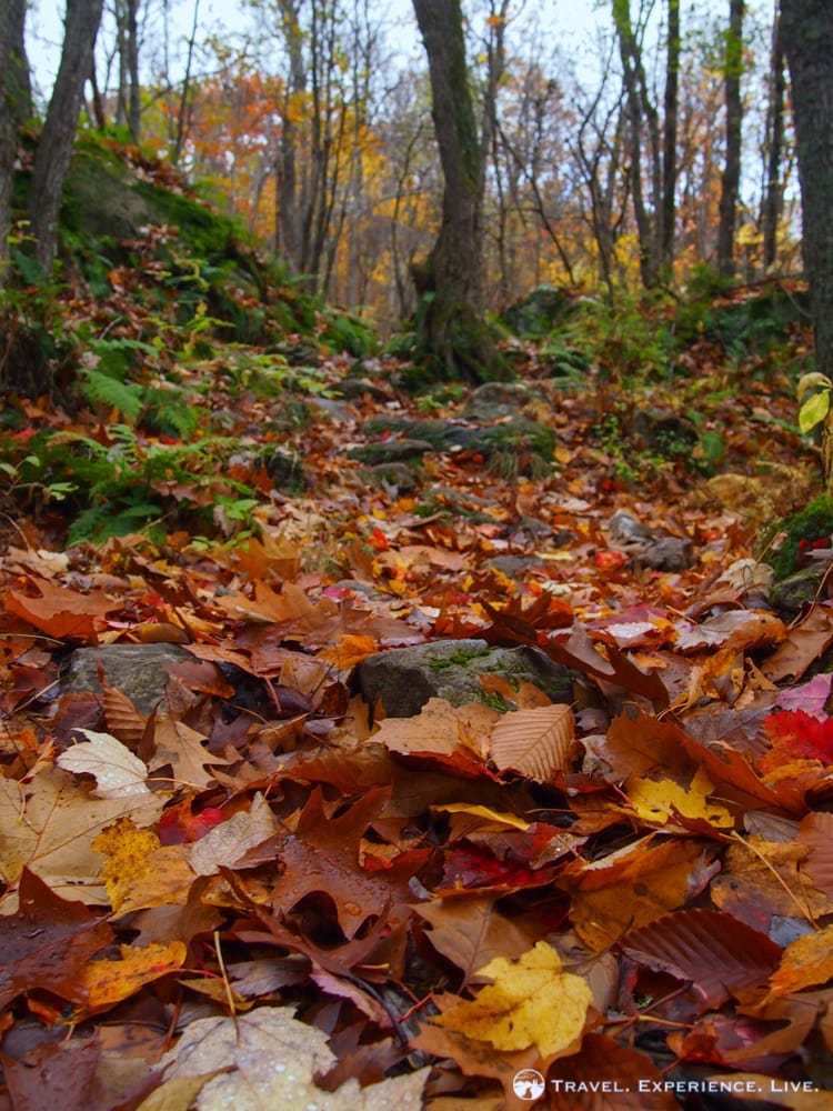
The scenic Lambert Ridge Trail starts off with a series of moderate switchbacks on a forest floor covered with leaves.
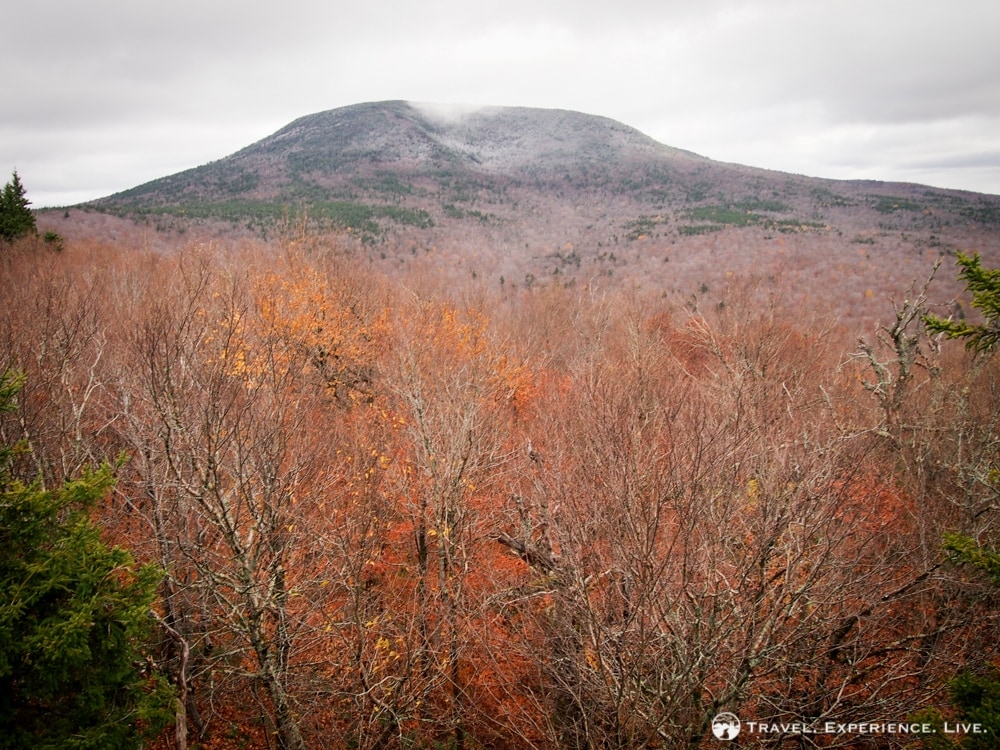
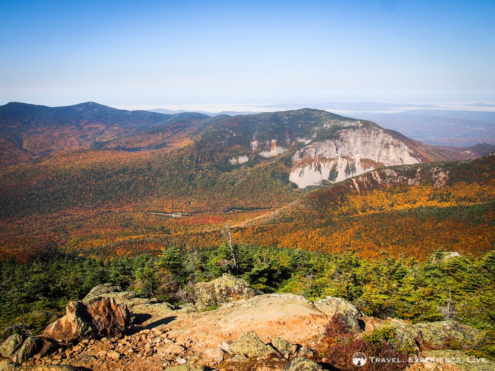
A fantastic lookout point appears to the right after about 0.8 miles (1.3 kilometers), which at this time of year offers a view of an incredibly colorful valley. The trail continues along the ridge, occasionally offering some more vistas.
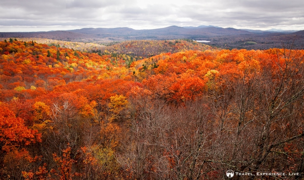

After 1.8 miles (2.9 kilometers) there is a nice view of the summit to the right. The trail then descends to a saddle and is fairly flat for about another mile (1.6 kilometers). The actual ascent to the summit of Smarts Mountain doesn’t start until 2.8 miles (4.5 kilometers) in. About halfway up the mountain the Lambert Ridge Trail and the Ranger Trail join up and continue towards the top together.
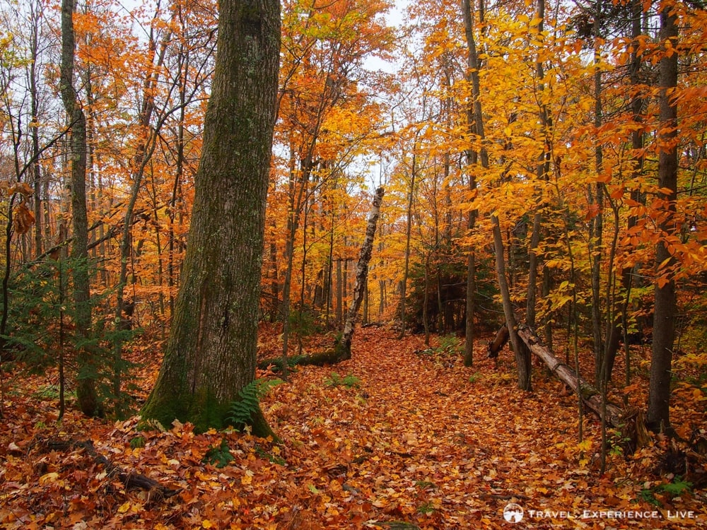
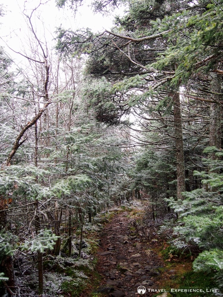
Our ascent was quite slippery, especially with all the leaves on the forest floor and after an overnight rain shower.
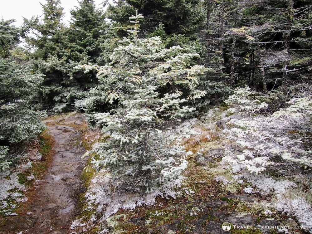
The strong and ice-cold wind that had been blowing from the north had covered the entire summit area in snow. I didn’t expect that at all. Our sweatshirts and jackets definitely came in handy. Gloves would have been welcome, too, though.
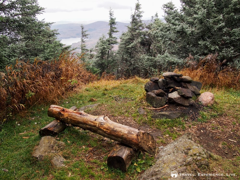
A ledge on the right about 0.2 miles (0.3 kilometers) from the summit serves as a campsite for long-distance hikers. There are grassy patches, a fire pit and some wooden benches.
The Smarts Mountain summit is completely covered with trees. So, there’s no view to speak of. There is, however, a lookout tower, which usually can be climbed and offers amazing panoramic views. Now, the weather was too bad and the tower was closed to the public.
The Lambert Ridge Trail is 3.9 miles (6.3 kilometers) long and it took us an hour and fifty-five minutes to get to the top.
We headed back down as soon as we could. It was near freezing up there.
Descent along the Ranger Trail
Going down, we followed the Ranger Trail that bends left where the Lambert Ridge Trail continues to the right. It became immediately clear that this isn’t a trail that’s used as much as the Appalachian Trail. The descent was steep, not very well maintained, rocky and extremely slippery. We both slipped and twisted ankles a few times.
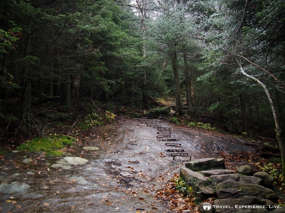
Because we didn’t take the time to rest at the snowy summit, we ate our snacks and sandwiches on the way down.
It wasn’t until the trail flattened out, at the base of the mountain, that it became fun again. From there on the Ranger Trail was wide and crossed a couple of nice mountain streams. The foliage was still gorgeous down there. (Many places in Vermont and New Hampshire are already past their fall foliage peak right now.)
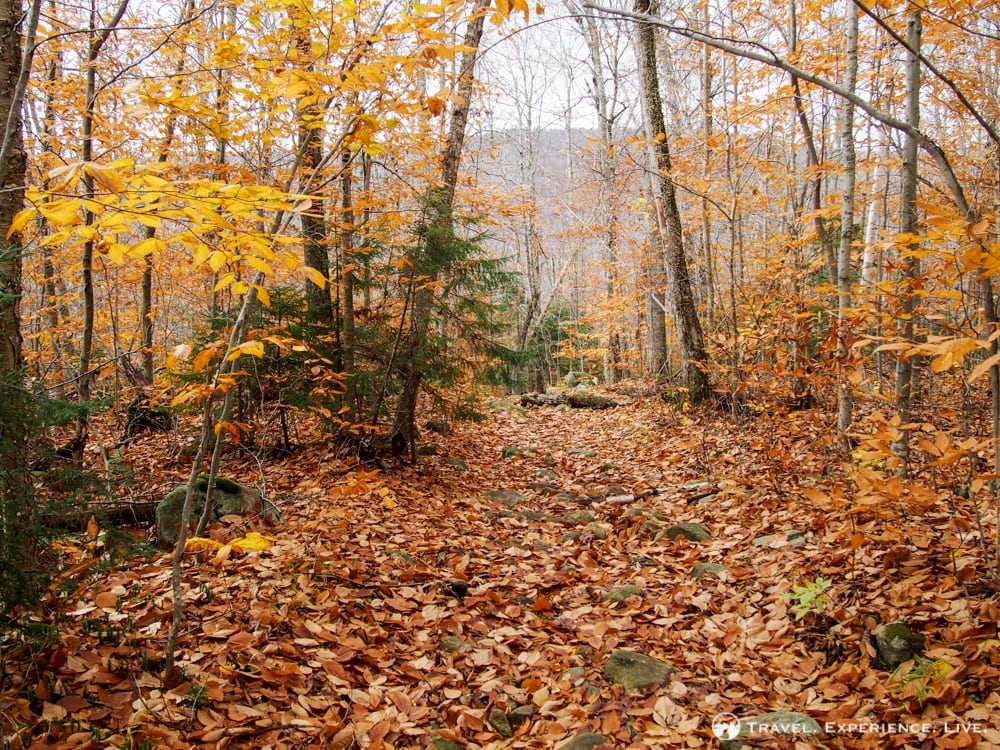
The Ranger Trail down the flank of Smarts Mountain is 3.6 miles (5.8 kilometers) long, a descent that took us an hour and a half to complete.
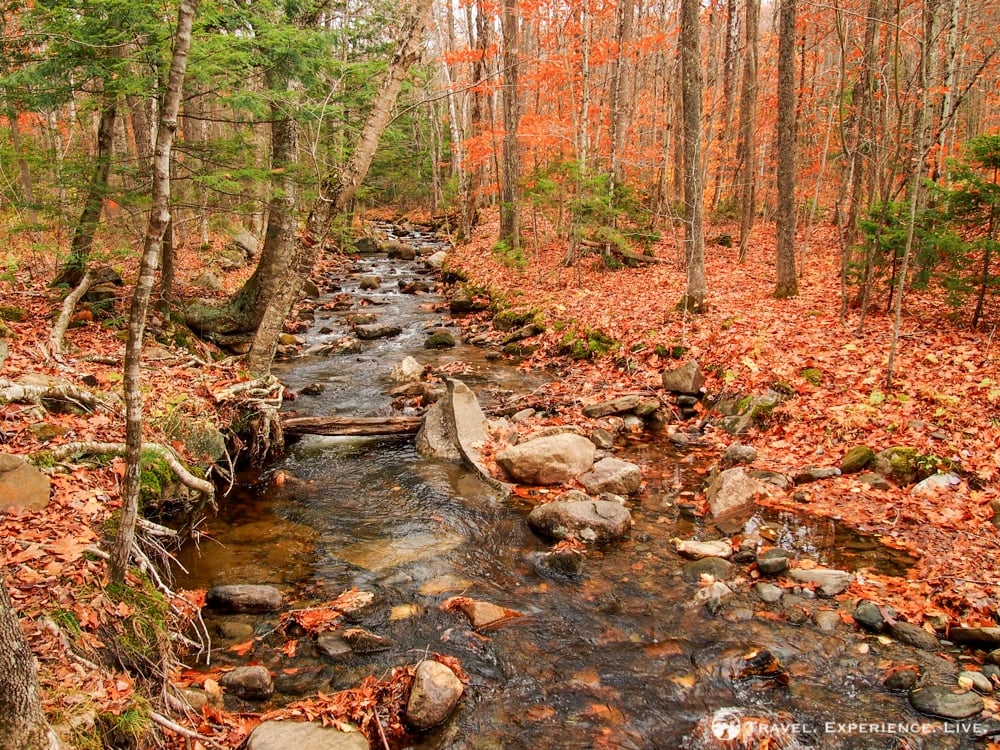
The full loop was 7.5 miles (12 kilometers) and took about three and a half hours.
The views were great – in my opinion the lookout after 0.8 miles was worth the entire hike – and the trail ran through different types of vegetation. It was definitely not a boring hike and a perfect one to do in the morning or afternoon.
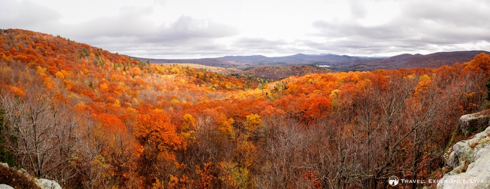
One of the reasons I wanted to do this particular hike is that black bears are often spotted around the ponds in the area. I haven’t seen a bear in the wild yet and because the not-so-inviting weather meant that there wouldn’t be as many people on the trail, I thought that this could be a nice opportunity. We didn’t see a bear though. Better luck next time I guess.
The wildlife that I have seen here in New England so far includes groundhogs, turkeys, porcupines, eagles, hawks, buzzards, snakes and deer. So no moose, skunks, bears, coyotes or mountain lions yet.
Gotta keep hiking!




If you want to see bears in the wild, in my experience: hike alone and quietly. I ran into a large male midday in early June a few years ago and into a yearling at dusk just days ago. Once I saw a bobcat; I was hiking barefoot that summer morning and barely made a sound.