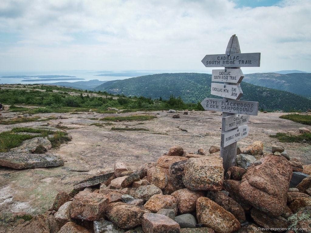
Kancamagus Highway – A Highlight of New England
Three weeks ago my parents – who were visiting me here in Vermont for my wedding – and I went on a day-long drive through the stunning White Mountains of New Hampshire.
The Kancamagus Highway is without a doubt one of the most scenic routes in the region, arguably even in New England. It is, after all, often named as one of the most beautiful fall-foliage roads in the United States. I can’t really give you an opinion on that right now, but I will surely find out sometime in September or October. The two-lane highway runs from east to west between the towns of Conway and Lincoln along Route 112 and is about 34 miles (55 km) long. The Kancamagus Highway – also known as ‘The Kanc’ – is a designated National Scenic Byway.
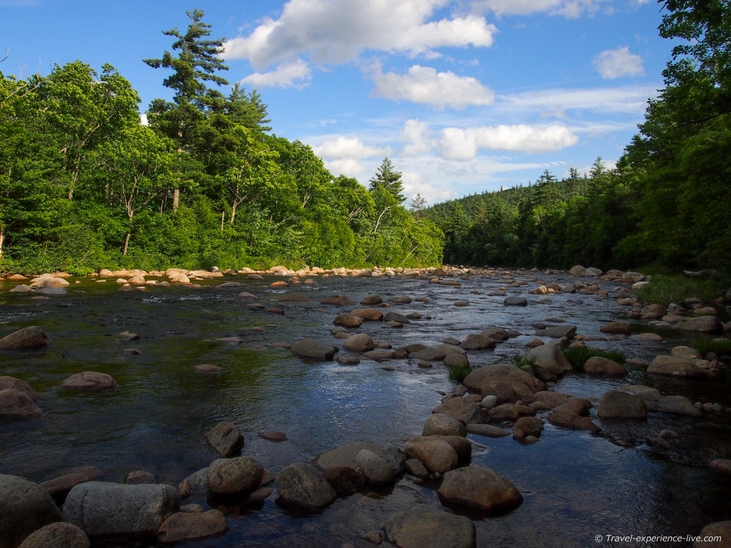
The Kancamagus Highway
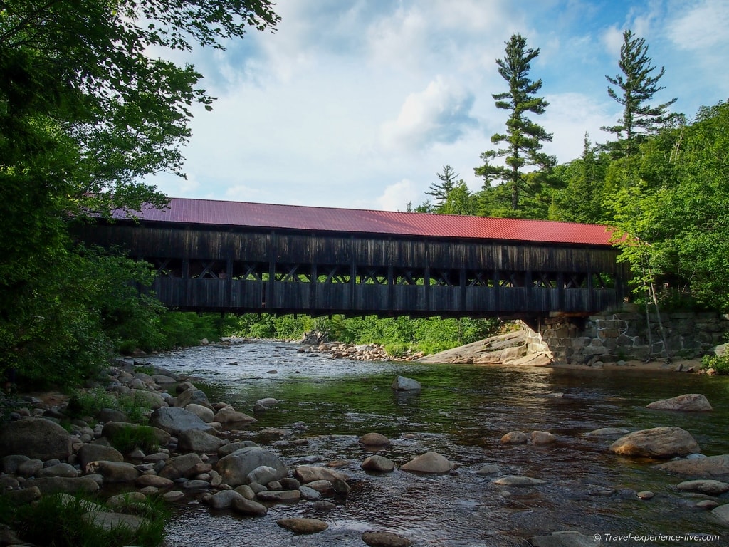
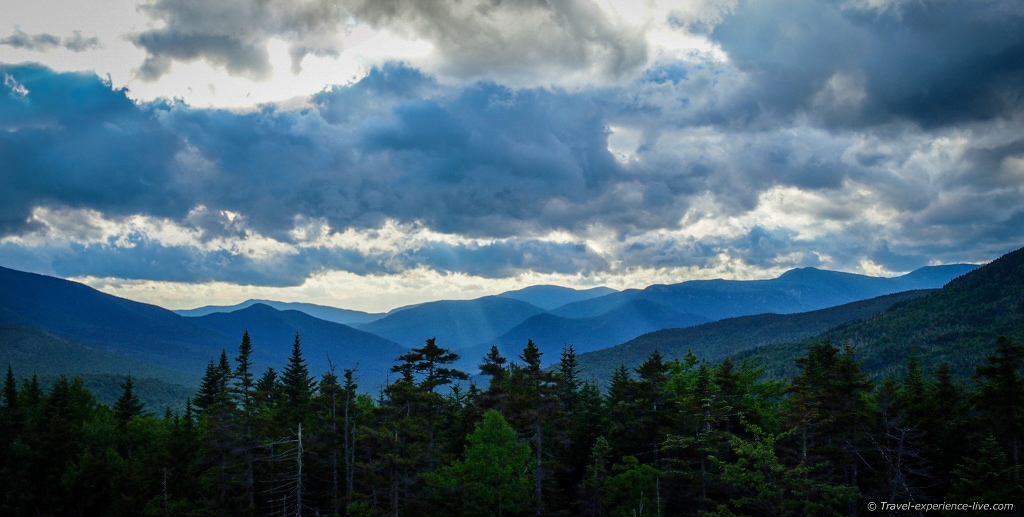
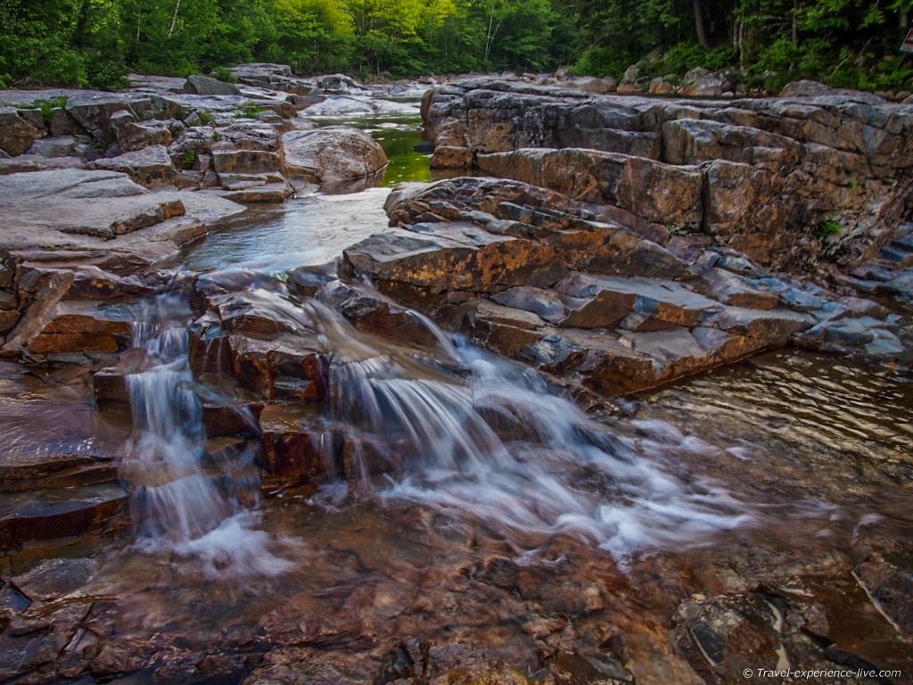
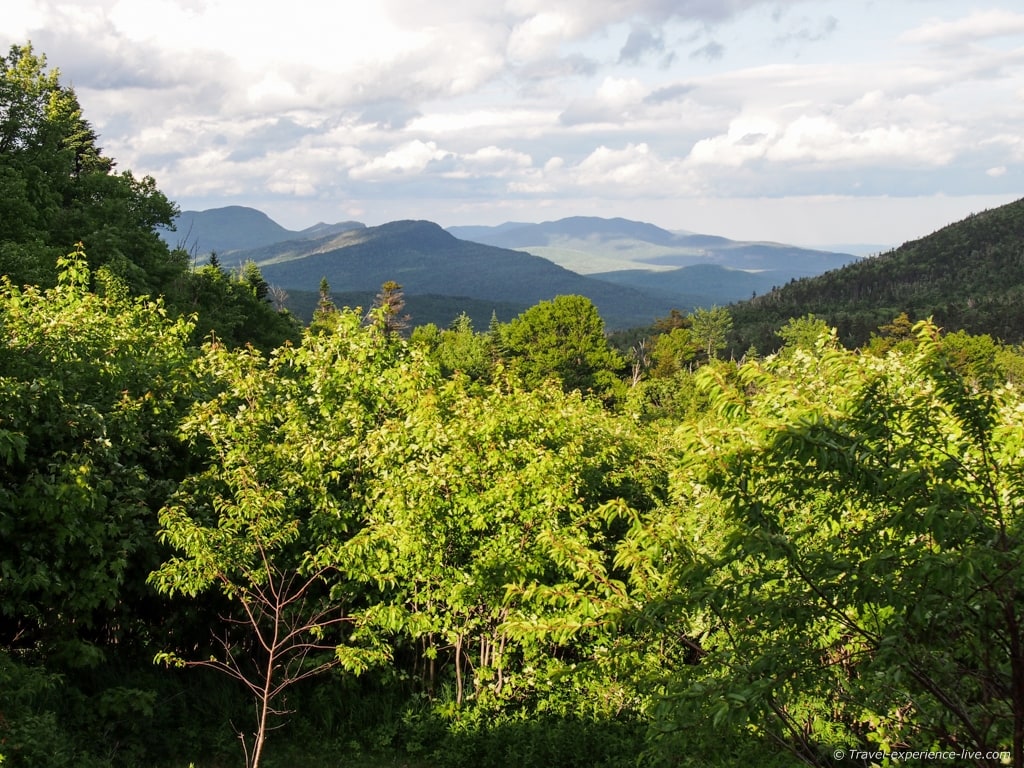
For almost its entire length it stays within the borders of the White Mountain National Forest. Traveling from Conway in the east, the highway follows the Swift River and Saco Valley and climbs almost 3,000 ft (900 m) to the Kancamagus Pass on the flank of Mount Kancamagus. The views from Pemi Overlook at the summit of the pass are brilliant. The road then descends to a valley formed by the east branch of the Pemigewasset River and follows that valley to the town of Lincoln, the western end of The Kanc. Major highlights include, but are not at all limited to, the covered bridge in Albany, Sabbaday Falls, Rocky Gorge and the Sugarhill and Hancock overlooks.

Especially the stretch between Conway and the Kancamagus Pass is packed with places to stop and scenic views. What I liked most about the highway is that it offers no modern day comforts at all. Along those 34 miles there are no gas stations, no houses and no hotels, restaurants or other businesses. Instead there are six campgrounds – all maintained by the US Forest Service and equipped with toilets, one even has showers – picnic areas, numerous hiking trails and cool mountain streams. Instead of people, bricks and concrete, you are surrounded by wildlife, rocks and trees. However, when needed, there are several accommodation options and a variety of restaurants in both Conway and Lincoln, at either end of the highway. At the Saco ranger station (near Route 16 in Conway) and at the White Mountain Gateway Visitors Center (in Lincoln) you can get maps featuring highlights such as scenic lookouts, hiking trails, campgrounds, historic sites and picnic spots.
History of the Highway
The highway was opened in 1959 after connecting two dead-end roads in Conway and Lincoln; it got paved five years later in 1964. It was named after Kancamagus who was an Indian chief of the Penacook Confederacy and who strived to keep things friendly between his people and the white invaders/settlers. His efforts proved pointless as the English continued to maltreat the natives and eventually war was at hand. In the early 1690s and after lots of battles and bloodshed the Confederacy tribes dispersed and Kancamagus and his people moved north to northern New Hampshire or Canada.
The Penacook Confederacy was a union of seventeen central New England tribes created in 1627 by Kancamagus’ grandfather Passaconaway.
Pronunciation
The highway’s name is very often misspelled and mispronounced. Misspellings such as Kancamangus and Kangamagus are common. So, how do you actually pronounce ‘Kancamagus Highway’?
The correct pronunciation is ‘Kank-ah-MAW-gus’, meaning The Fearless One.
Sources and Information
The Kancamagus Highway
Travel Channel
Visit White Mountains
Wikipedia


