My Favorite Short Hikes in Capitol Reef National Park, Utah
Wiping the sweat off your forehead, you try to catch your breath as you gaze across a landscape dominated by red rocks and sandstone hills. Towering rock pillars and enormous domes fill the view, interspersed by wide valleys and, here and there, a hardy desert bush.
Your chest still heaving up and down after a short but steep climb to the overlook, you sit down and take a well-deserved sip from your water bottle.
This best Capitol Reef National Park hikes post contains affiliate links. You can read more about our Terms of Use / Disclosure here.
Top Half-Day Hikes in Capitol Reef National Park
This is Capitol Reef National Park, the middle one of the five national parks in Utah. You’re quite likely going to Utah for those classic red rock formations and canyon landscapes and this where you’ll find them.
Millions of years of geological activity paired with erosion by water and wine result in extraordinary rock formations.
Slot canyons, arches and bridges, tall pillars, domes and cliffs sweep across this vast desert landscape, its colors ever-changing as the sun arches its way across the sky.
Capitol Reef National Park is at its prime early in the morning and late in the evening, when the sun’s low angle casts long shadows across the desert floor. This is a hot and dry place, best explored just after sunrise or just before sunset. In summer, mid-days get almost unbearably hot.
Additionally, nights are when thousands of stars come out, making this one of the best star viewing national parks in America.
Protecting the so-called Waterpocket Fold, a 100-mile (160-kilometer) monocline and the main geological feature of the park, Capitol Reef is a large park. There’s one main tourist area, though, which makes visiting the park super-easy.
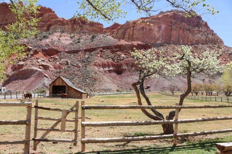
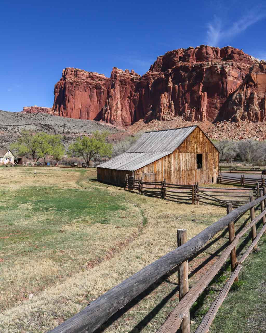
Route 24 runs through the heart of the park—it’s the park’s only main road, really—and passes by Fruita, a 19th-century Mormon village that’s now home to a campground, fruit orchards, the visitor center, picnic areas and historic barns and homesteads.
If you’re looking for the greatest drives in American national parks, Route 24 is definitely one of them. I recommend starting your visit there. Pop into the visitor center, watch the short movie, and get a park map and newspaper.
Then, head out for some serious desert exploration. There are several great short hikes in Capitol Reef National Park, more than enough to fill a day or two.
I also shared an overview of the Capitol Reef’s main attractions here. In this post, I want to focus on what I think are the best hikes in Capitol Reef National Park.
Best Day Hikes in Capitol Reef National Park
As I said earlier, the best times for hiking in Capitol Reef National Park are the mornings and late afternoons or evenings.
Depending on when you hike, bring a thermos of hot coffee or a can of cold beer and prepare for a memorable hiking experience.
There’s nothing like cracking open a beer after a sweaty climb to a viewpoint and taking in the view. Add a glorious sunset and things couldn’t possibly get any better!
Also, bring plenty of water, of course. This is desert hiking and you’ll need lots of it. Even though the following are all pretty short Capitol Reef National Park hikes, relatively speaking, do not forget to fill up your water bottle. The visitor center in Fruita has free potable water.
Hickman Bridge Trail
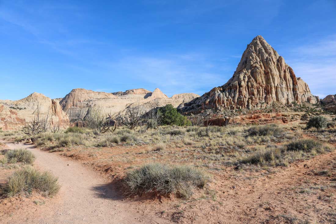
The trailhead located about two miles (three kilometers) east of Fruita on Route 24, the Hickman Bridge Trail is one of the most popular short hikes in Capitol Reef National Park.
This 0.9-mile one-way trail runs through a desert wash and a canyon, ending at Hickman Bridge, a 133-foot (40-meter) natural rock bridge.
Cairns mark the trail, which is classified as moderate. The elevation gain is about 400 feet (122 meters), making this a short hike suitable for everyone with a basic fitness level. As on all Capitol Reef National Park trails, sturdy hiking shoes are recommended.
Distance: 1.8 miles (2.9 kilometers) out and back
Duration: 1 to 1.5 hours
Cohab Canyon Trail
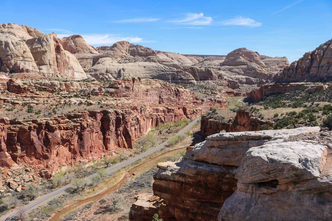
A little gem of a trail that’s usually overlooked, the Cohab Canyon Trail begins just across the road from the Fruita Campground. Running steeply up a cliff, its first section is pretty challenging, which is why this is a pretty quiet hike.
Many people look up at the trail and are deterred by its initial steepness, which separates the chaff from the hiking grain, so to speak.
Once you get to the top, you’ll find yourself on a flat plateau with canyons, red rocks and sandstone formations—everything that characterizes Capitol Reef National Park.
The total elevation gain of this moderate hike is 440 feet (134 meters)
The trail continues through Cohab Canyon where you can explore fun and narrow slot canyons. At the end of this 1.7-mile one-way trail, two spur trails lead to viewpoints overlooking Fruita and Route 24. This is one of my absolute favorite Capitol Reef hiking trails.
Distance: 3.4 miles (5.5 kilometers) out and back
Duration: 2 to 2.5 hours
Chimney Rock Loop
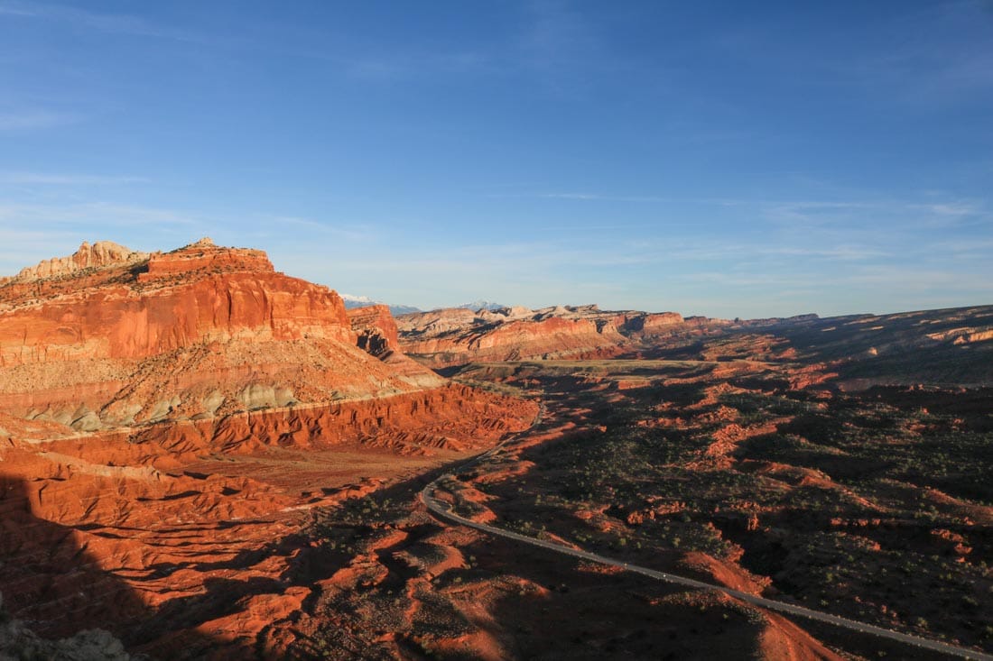
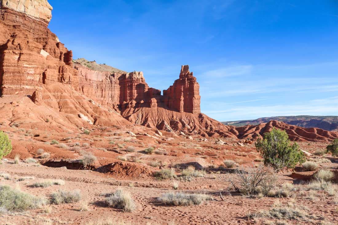
This might just be the best hike in Capitol Reef National Park under 4 miles. Chimney Rock is one of the first striking natural features you’ll see after entering the park from the west. The parking lot lies on the left side of the road.
The trail climbs up to and loops around the red-rock plateau behind Chimney Rock. On the way, you’ll have fantastic views of this imposing rock formation.
Besides the initial climb, this superb hike is actually fairly easy. It’s classified as strenuous, though, but that’s mainly because of that first steep section, responsible for most of the total elevation gain of 590 feet (180 meters).
Once atop the plateau, the panoramic views of the Waterpocket Fold are sure to blow you away. These are some of the absolute best views in Capitol Reef National Park.
On top of that, this is also one of the best spots in the park to watch the sunset. Remember that cold beer I mentioned before? This would be the place to enjoy it.
Distance: 3.6 miles (5.8 kilometers) circuit
Duration: 2 to 2.5 hours
Grand Wash Trail
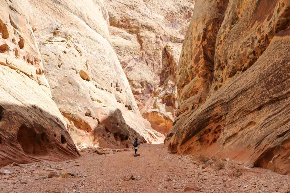
Even though it’s the longest of the Capitol Reef hikes in this overview, it’s the only one that is classified as easy.
As you walk through the Grand Wash, basically a huge yellow sandstone canyon flanked by towering cliffs, the total elevation gain isn’t more than 200 feet (61 meters) over a distance of 2.2 miles. It’s essentially a flat trail.
What makes this particular trail so worth it is its unique setting. This canyon is enormous. If there’s one place in Capitol Reef that’ll make you feel like a dwarf, this is it.
Make sure to bring sufficient water for this hike. The trail follows, and basically is, a dry desert wash and you’ll walk along sheer cliff faces, which reflect the sun rays. If there’s no breeze blowing through the canyon, this place can be scorching hot.
The Grand Wash Trail in Capitol Reef National Park is an out-and-back hike with trailheads at either end.
The northern one lies on Route 24, about 4.5 miles east of Fruita while the southern trailhead is reached via the unpaved Grand Wash Road off the Scenic Drive. This is arguably the best of all easy Capitol Reef trails.
Distance: 4.4 miles (7.1 kilometers) out and back
Duration: 1.5 to 2 hours
Often Overlooked, Always Worth It
All of Utah’s national parks are phenomenal in their own right, but I have to say that I liked Capitol Reef National Park best.
It’s possibly the most underrated of them all, often used simply as a passing-through park on the way between more famous ones like Zion and Arches National Park. And the trails in Capitol Reef National Park are second to none!
Take your time and spend at least two days and one night in Capitol Reef National Park. It deserves it.
The fact that most people just drive through the park on Route 24, maybe quickly stopping in Fruita, has one big benefit. It’s much less crowded than the other parks in Utah. Even on these short hikes in Capitol Reef National Park, you won’t find yourself among dozens of other visitors.
There’s still plenty of solitude, remoteness and quietness to be found here. Together with its uniquely spectacular landscapes, that’s really what sets it apart from all the other parks—not only those in Utah, but from all other U.S. national parks.
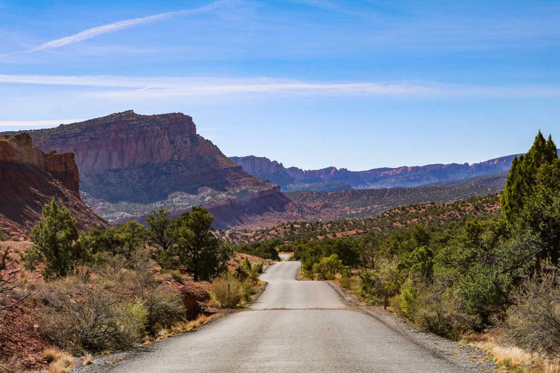
This extremely detailed topographic map from National Geographic also comes highly recommended!
Other National Park Hikes
- 7 Best Hikes in Joshua Tree National Park, California
- 14 Best Day Hikes in Shenandoah National Park, Virginia
- 5 Best Hikes in Zion National Park, Utah
- Best Bryce Canyon National Park Hikes, Utah
- 2 Best First Hikes in Grand Canyon National Park, Arizona
- Best Hikes in Crater Lake National Park, Oregon
- 5 Best Day Hikes in Acadia National Park, Maine
- Painted Desert Overnight Hike, Petrified Forest National Park, Arizona
- 6 Best Hikes in Haleakala National Park, Maui, Hawaii
- Best Hikes in Death Valley National Park, California


