Hiking the Skyline Trail Loop in Mount Rainier National Park, Washington
Thanks to its amazing diversity, both in natural scenery and wildlife, Mount Rainier is one of my favorite American national parks.
In this article, I wanted to talk about the Skyline Trail Loop, one of Mount Rainier’s greatest attractions, and share a few pictures I took during my hike.
This Skyline Trail Loop post contains affiliate links. You can read more about our Terms of Use / Disclosure here.

Hiking the Skyline Trail Loop in Mount Rainier National Park
Mount Rainier National Park has four developed areas and three visitor centers. One of the most popular areas is Paradise, famous for its spectacular views and wildflower-covered meadows.
This is where you’ll find the historic Paradise Inn, one of the greatest examples of “parkitecture” in the country, as well as the Jackson Visitor Center.

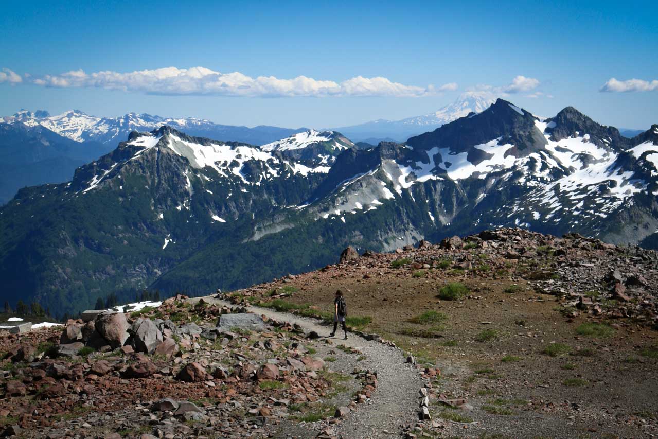
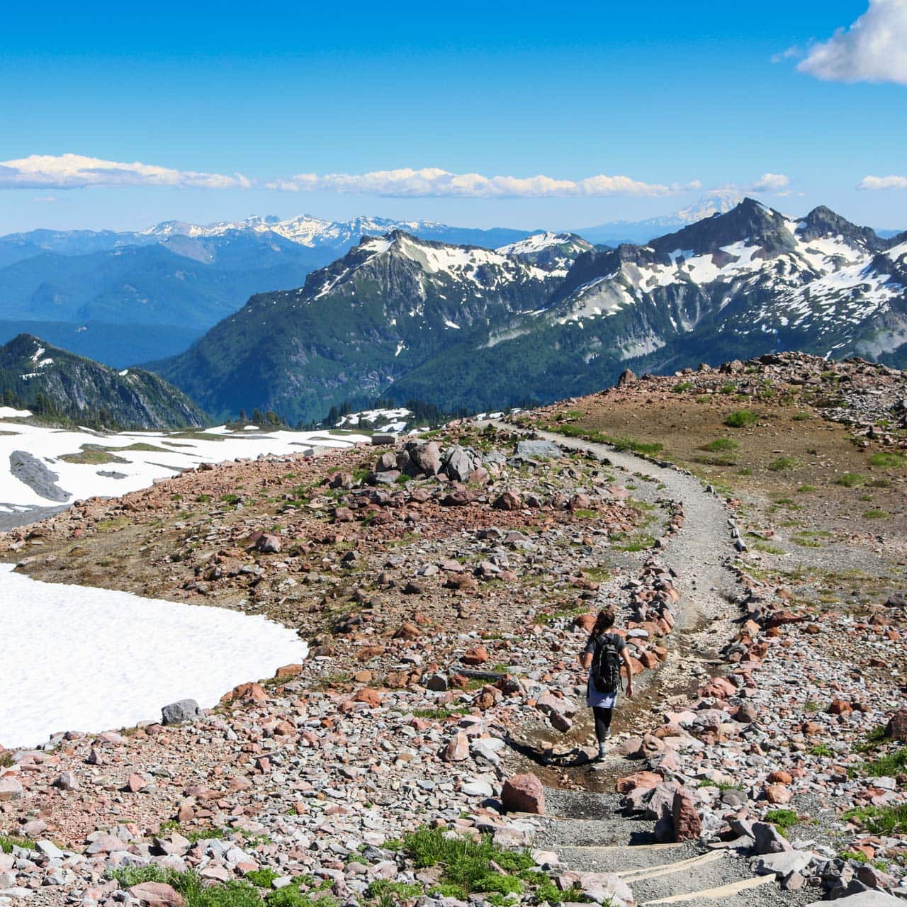
It’s also the starting point of the Skyline Trail, a fantastic Mount Rainier day hike and the perfect introduction to this beautiful Washington State national park. The trailhead lies near the visitor center and is marked by stone steps.
I recommend hiking the Skyline Trail in a clockwise direction. Pick up a hiking map at the visitor center—the maze of trails at Paradise can be confusing.
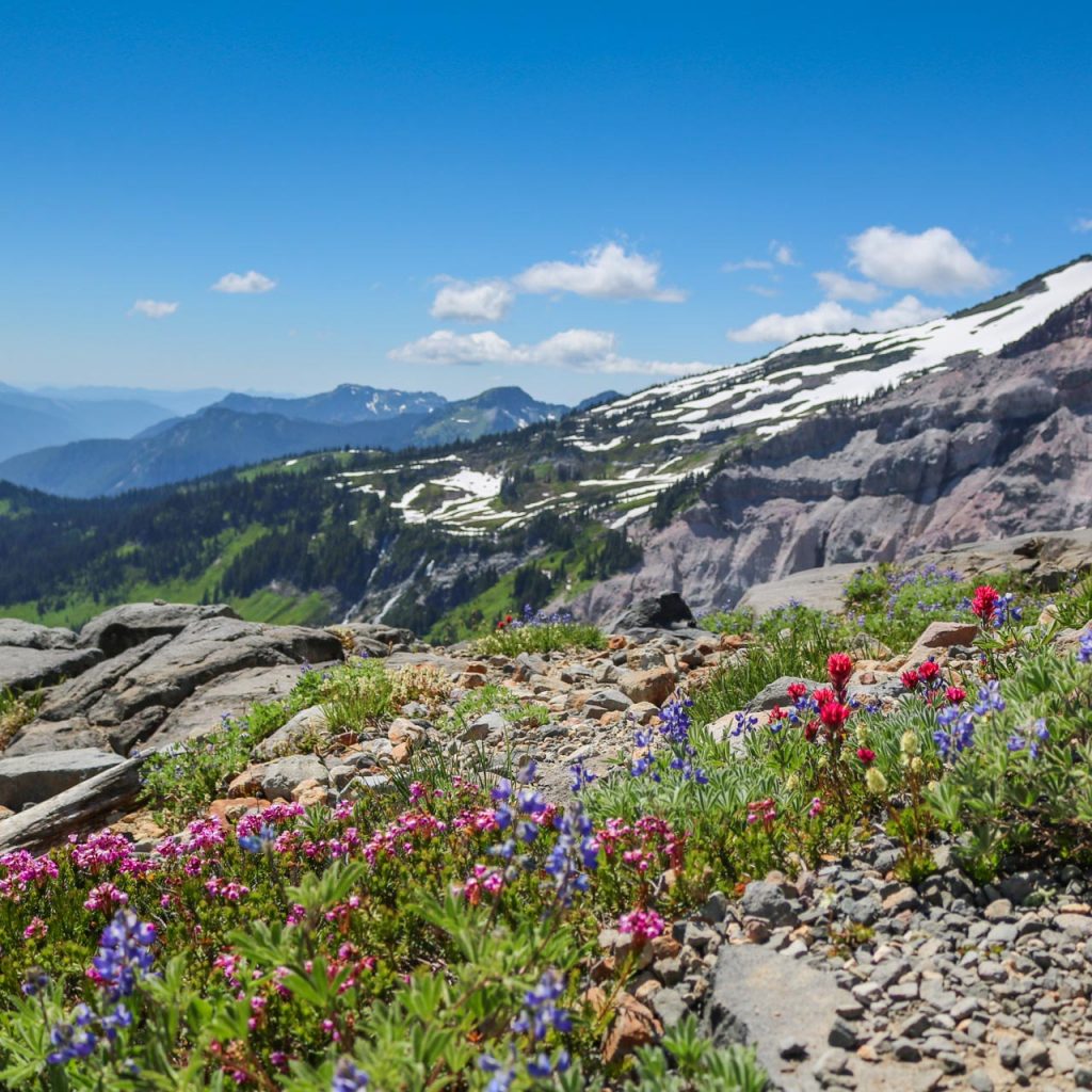
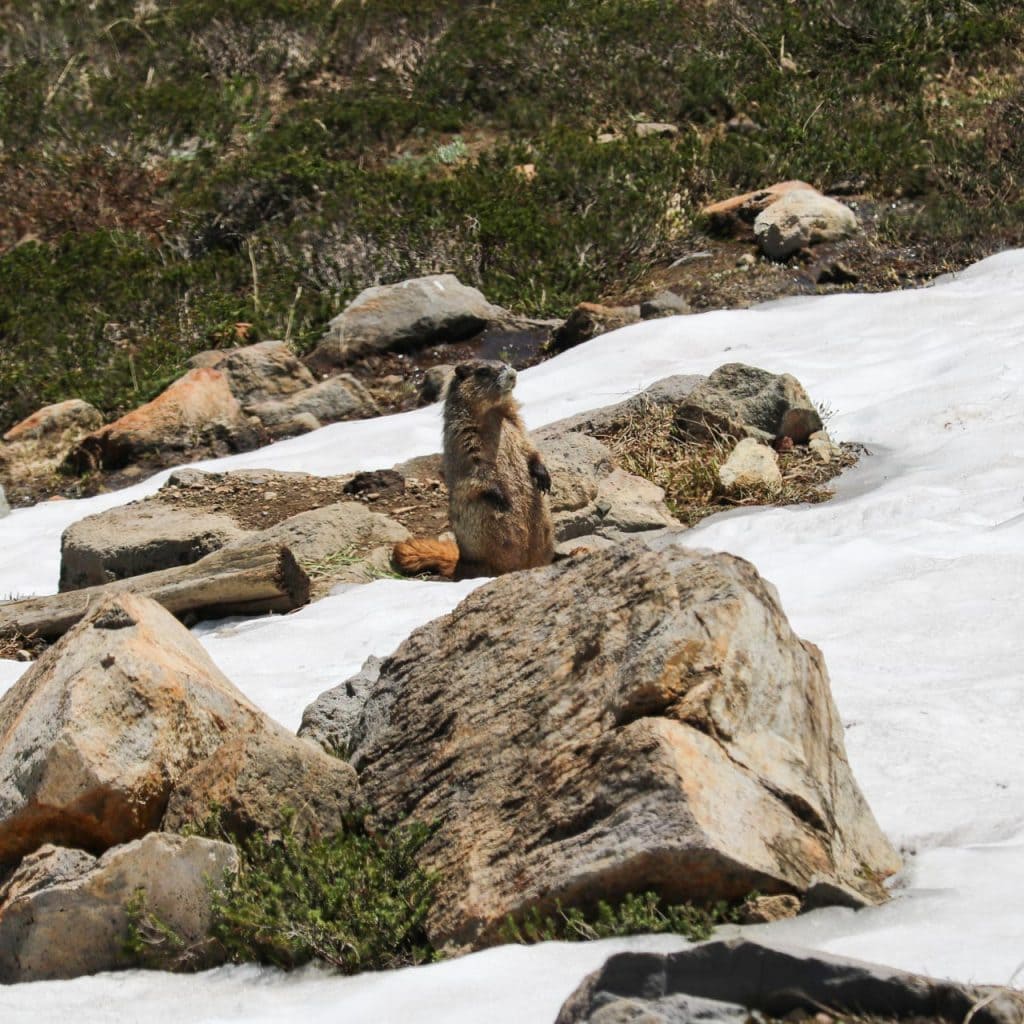
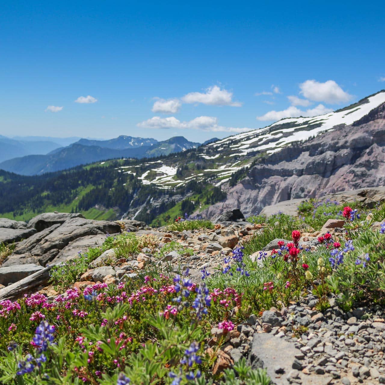
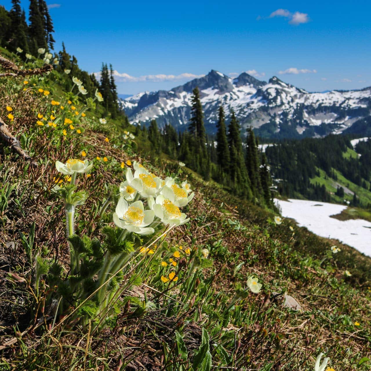
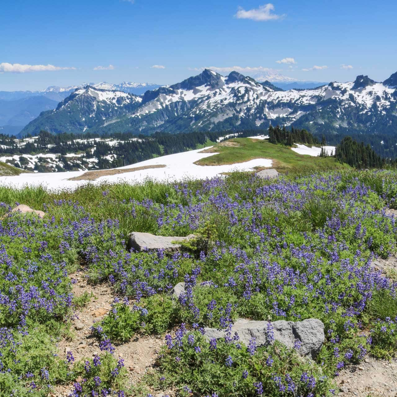
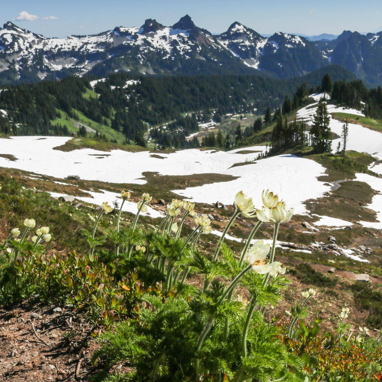
Starting off through rolling meadows, in summer absolutely filled with wildflowers, the trail leads up to Panorama Point. Listen for the shrill yells of hoary marmots, cute mammals that spend their days grazing joyously in the meadows.
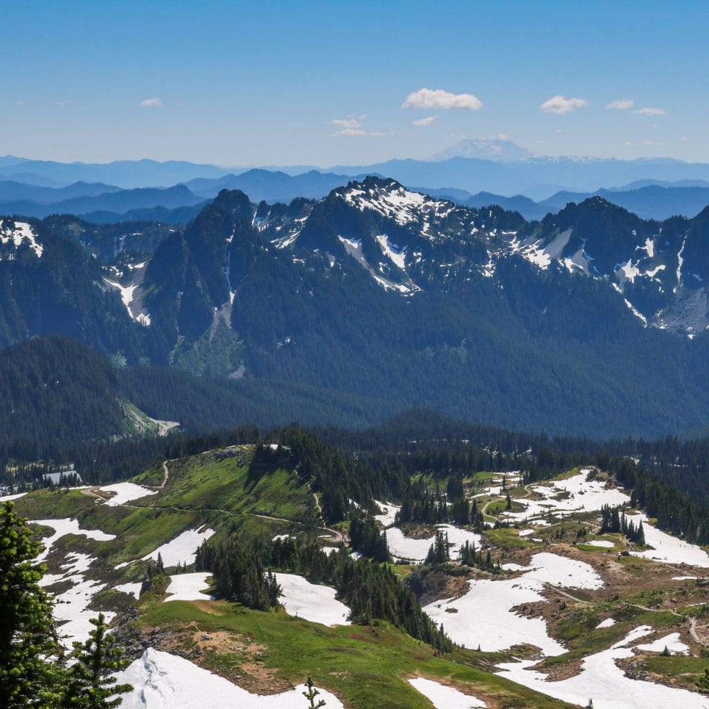
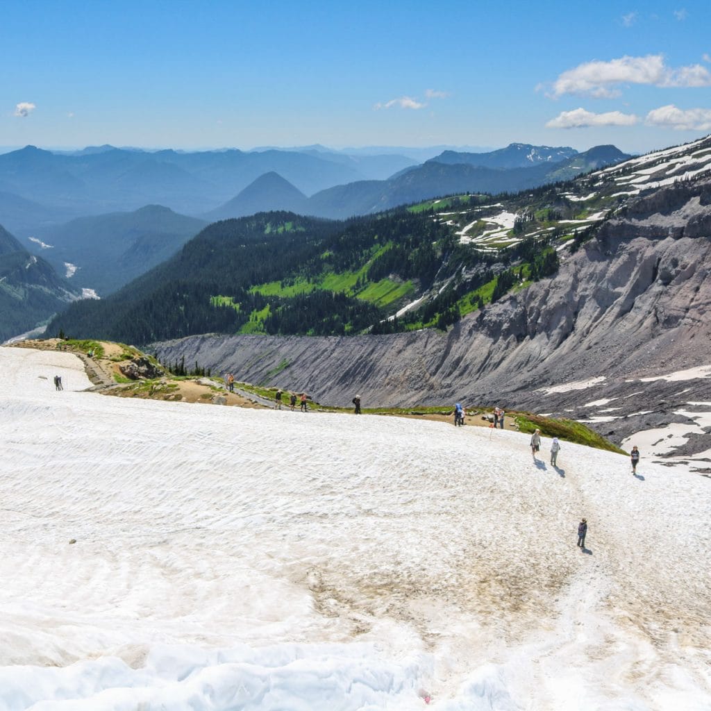
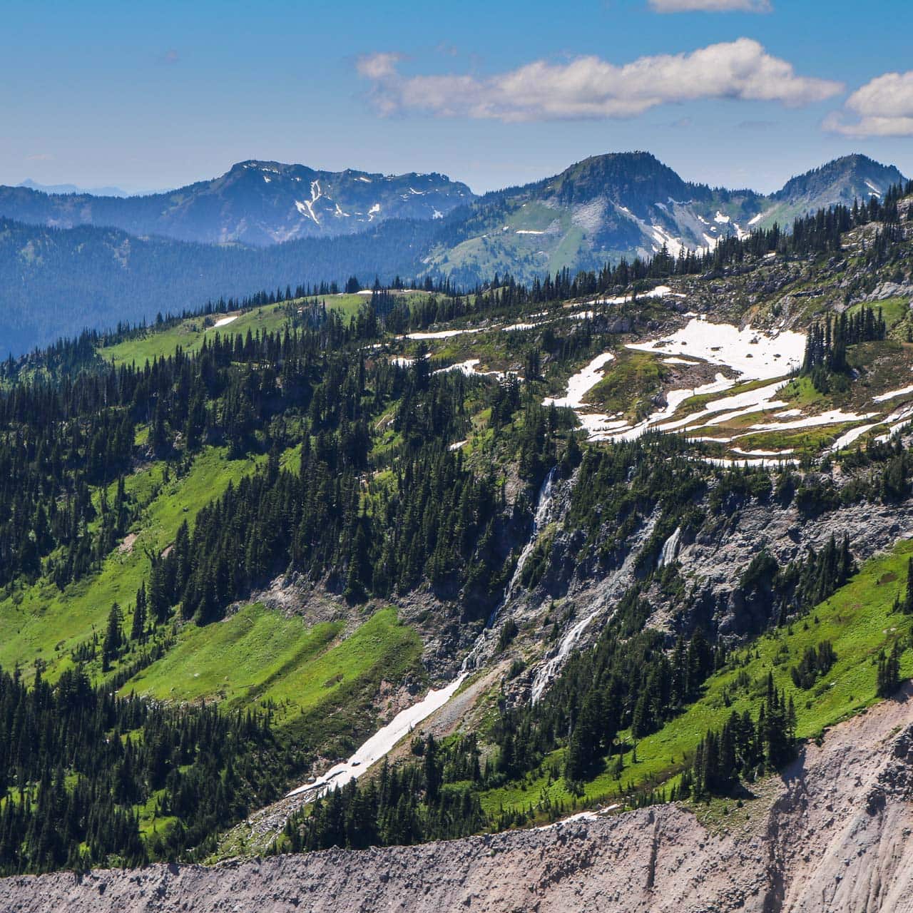
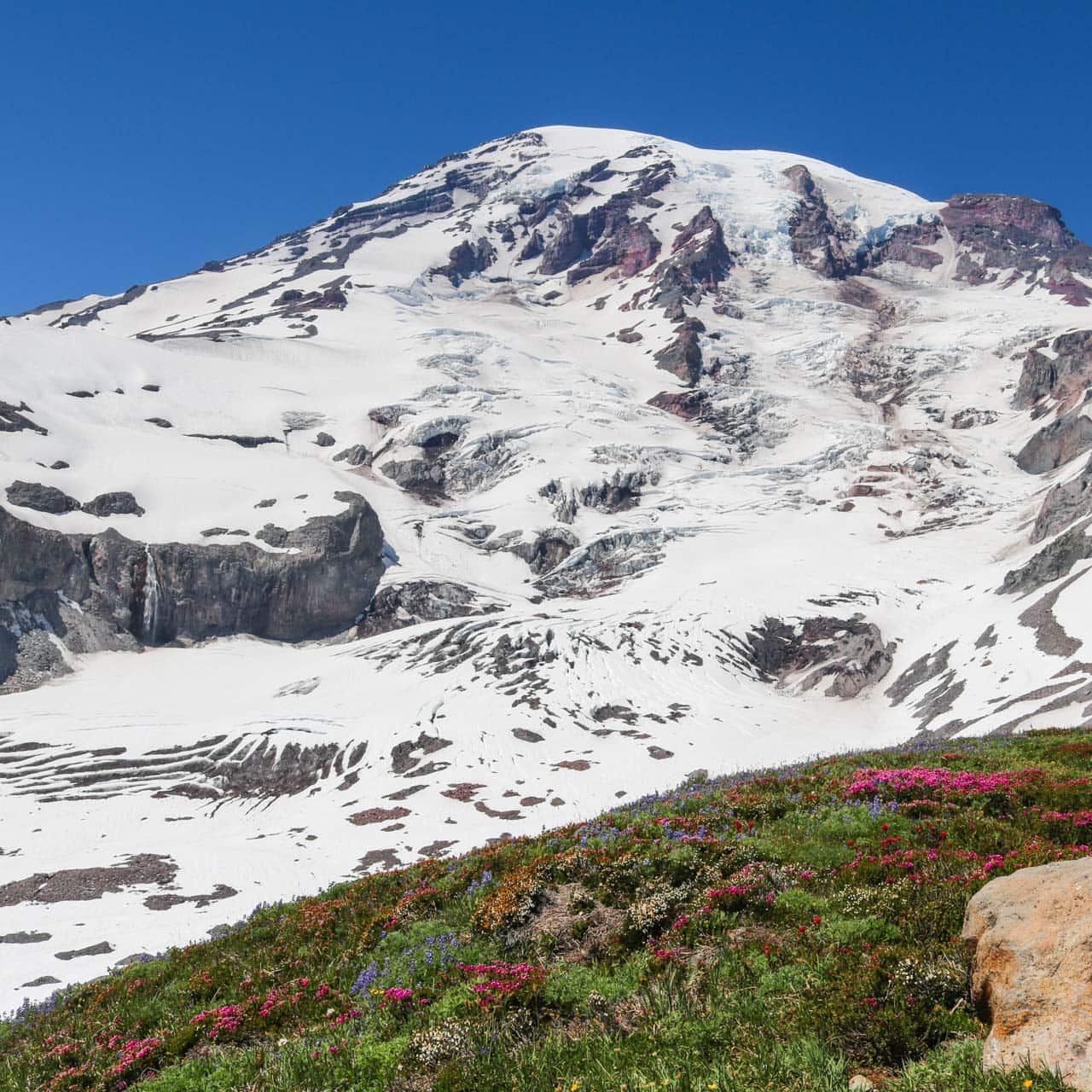
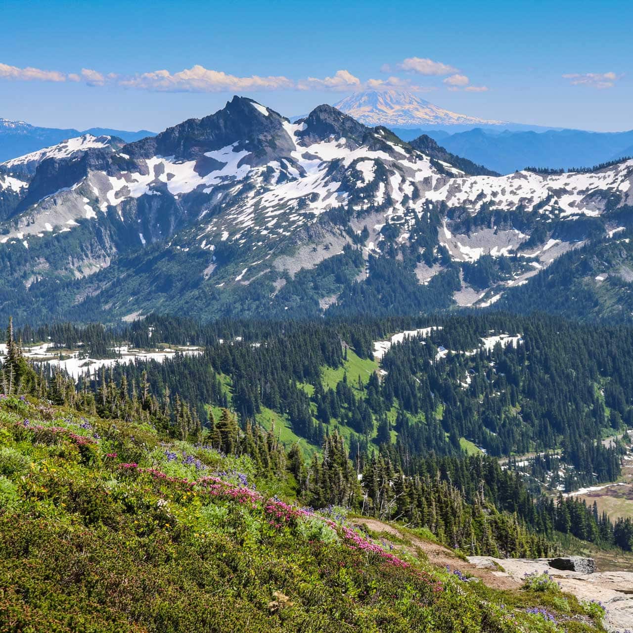
Once above the tree line, you’ll find yourself in a rugged Cascade Mountains landscape, characterized by jagged peaks, waterfalls, glaciers, boulder fields and several volcanoes.
On the way, views of the mighty Nisqually Glacier and Mount Rainier itself offer welcome rewards. If it’s a clear day, you can see as far south as Mount Adams, Mount St. Helens and Oregon’s Mount Hood from appropriately-named Panorama Point.
Past Panorama Point, you’re advised to use the High Skyline Trail to avoid a slippery slope of ice that never melts. It’s possible, though, to hike across the icefield, but know there’s a safer option, too.
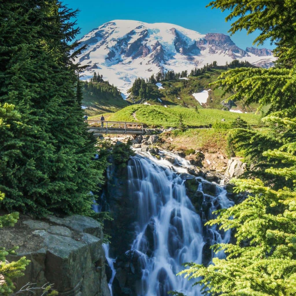
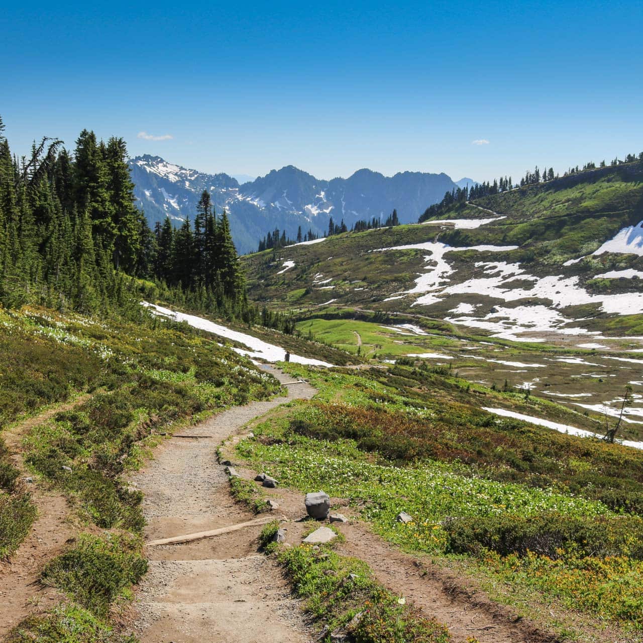
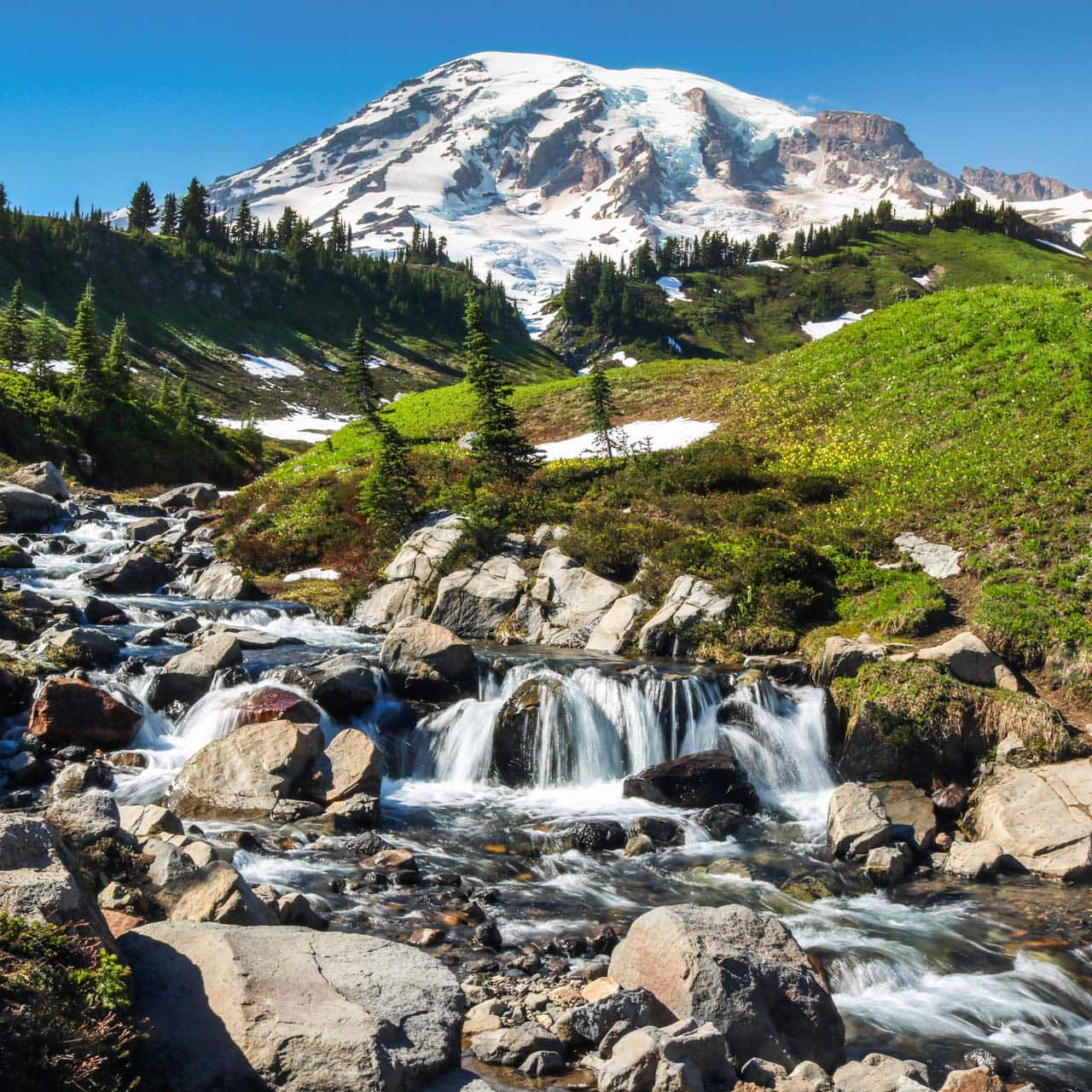
The trail then starts descending again, slowly looping back toward Paradise. Although there are several things that make the Skyline Trail Loop such a phenomenal day hike, the real treat lies at the very end.
The trail ends with a bang at the cascades of Edith Creek, Mount Rainier rising in the background, and sensational Myrtle Falls.
Skyline Trail Loop Details
- Length: 5.5 miles (8.9 kilometers) roundtrip
- Elevation gain: 1,700 feet (518 meters)
- Duration: 3-4 hours
- Trailhead: behind the Jackson Visitor Center and Paradise Inn
- Highlights: wildflowers and panoramic views, Nisqually Glacier, Mount Rainier and Myrtle Falls
- When to hike: sunny days in July or August
- More info: National Park Service
Photos of Mount Rainier’s Skyline Trail


Such a nice post! Thanks for sharing!
We hiked Skyline trail last week while in MRNP. We hiked in the counterclockwise direction which I would recommend! The initial paved trail is beautiful thru fall colors. We saw 44 marmots during our 5+mi hike. The only difficult part was more at the top of the hike, climbing over some uneven rocks in an area that was not well marked. It was very cloudy the day we were there which made this section more difficult. It was also very cold! We had lunch on a monument bench about halfway through and had an overly friendly (hungry) marmot visitor. (We did not feed him) Great views of Nisqually glacier. The hike down was more steep, lots of steps and generally not as beautiful…but all in all a fun interesting hike.
Yes, that upper section is definitely the most difficult part of the hike. It’s also where the best views are, though! 😀 Glad you enjoyed your hike.