The Ultimate Cascade Range Volcanoes Road Trip
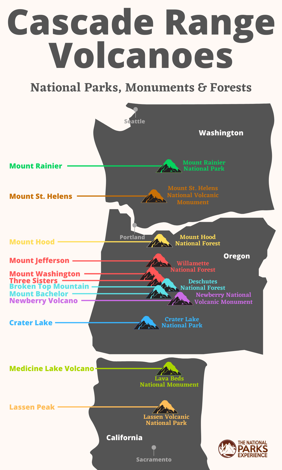
A spectacular road trip from Seattle to Sacramento takes you a series of majestic Cascade volcanoes, from Mount Rainier and Mount St. Helens to Mount Hood, Crater Lake and Lassen Peak.
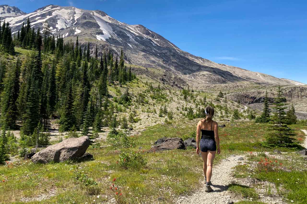
Explore the Fire Mountains of the West on a Spectacular Cascade Volcanoes Road Trip
Part of the Ring of Fire, a circle of volcanoes and earthquake-prone areas around the Pacific Ocean, the Cascade volcanoes are among the greatest natural attractions in America’s Pacific Northwest.
They form a series of volcanoes and related mountain ranges that extend from British Columbia, across Washington and Oregon, to northern California. You can see literally all of them on a Cascade volcanoes road trip!
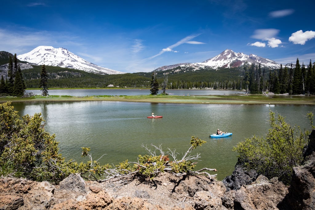
This Cascades volcanoes road trip post contains affiliate links. You can read more about our Terms of Use / Disclosure here.
See 12 Majestic Cascade Range Volcanoes in These 9 Volcanic Parks
Having explored all Pacific Northwest national parks, as well as several national monuments and forests, I recommended the following itinerary to everyone planning a road trip to the Cascades volcanoes.
Starting in Seattle, this road trip takes you to a dozen major volcanoes in a total of nine different national parks, monuments and forests. Following the scenic Cascade Range, the route includes such famous mountains as Mount Rainier, Mount Hood, Mount Bachelor and Lassen Peak before ending in Sacramento (or San Francisco).
These are the volcanoes you’ll see—and maybe hike on or even summit—on this epic drive across the Pacific Northwest:
- Washington State: Mount Rainier and Mount St. Helens
- Oregon: Mount Hood, Mount Jefferson, Mount Washington, Three Sisters, Broken Top Mountain, Mount Bachelor, Newberry Volcano and Crater Lake
- California: Medicine Lake Volcano, Lassen Peak, Cinder Cone and Brokeoff Mountain
From north to south, from Seattle to Sacramento, you will drive through the following nine volcanic national parks, national monuments and national forests.
Volcanic Parks in Washington State
Mount Rainier National Park
Volcano: Mount Rainier
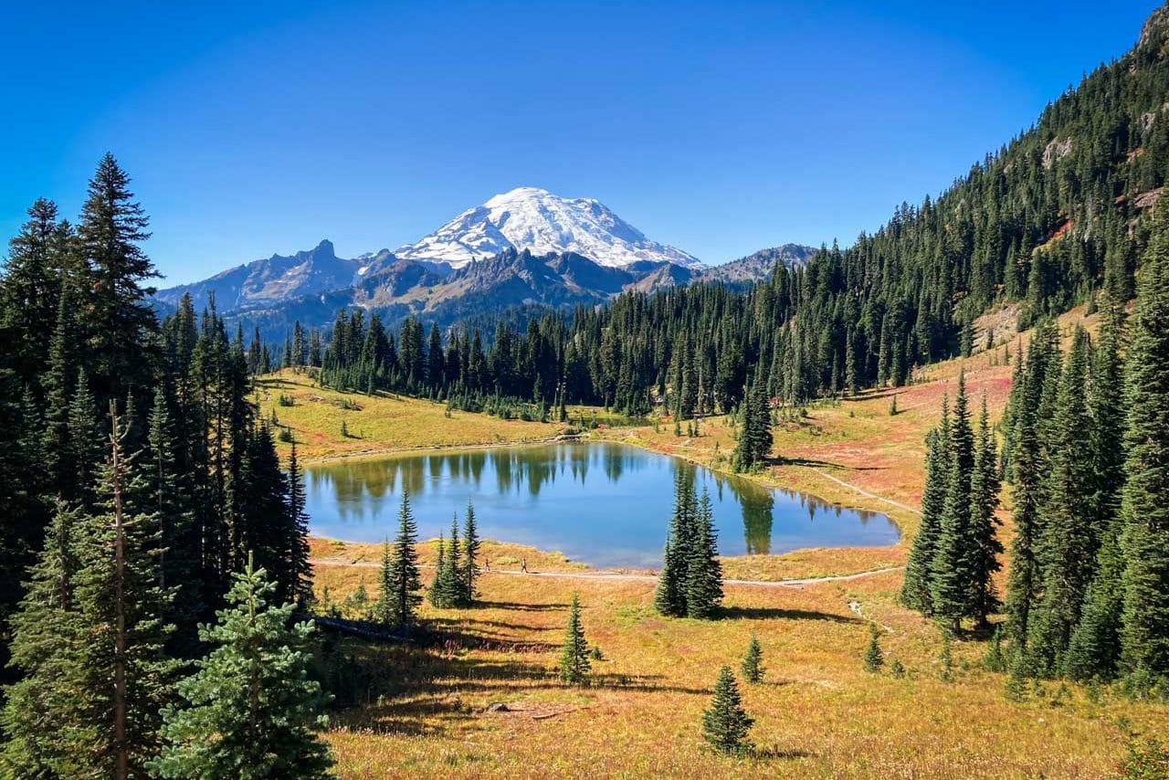
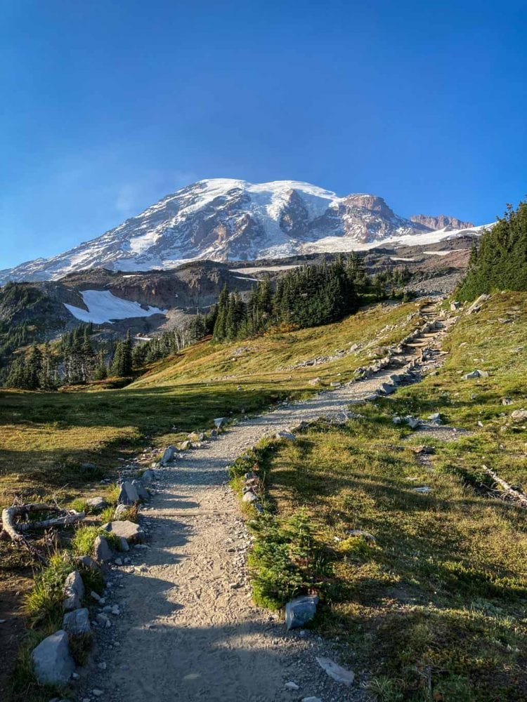
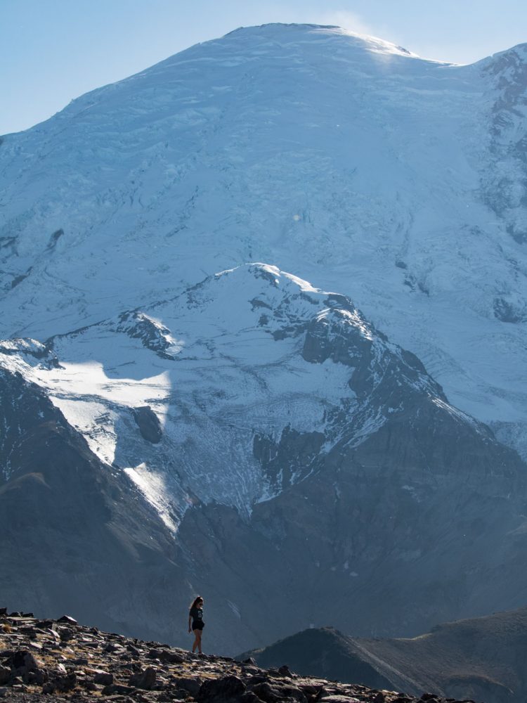
A mighty stratovolcano rising 14,410 feet toward the Pacific Northwest sky, Mount Rainier is the highest peak in the entire Cascade Range, dominating the landscape in central Washington State.
This spectacular national park is roughly halfway between Seattle and Portland and easily accessible from both major cities.
Known to Native Americans as Tahoma or Tacoma, this is the first Cascades volcano you will see and visit on a volcanoes road trip from Seattle to Sacramento.
Mount Rainier National Park encompasses everything from old-growth forests to gorgeous subalpine wildflower meadows to spectacular waterfalls.
Rainier itself is, of course, the absolute star of the show. Covered with more than two dozen glaciers and the most topographically prominent mountain in the lower 48 states, it is one of the sixteen “Decade Volcanoes”—the most dangerous volcanoes on Earth.
The last recorded eruption of Mount Rainier was in the late-1800s; the mountain has been relatively quiet since. Nowadays—and perhaps just for now—Mount Rainier National Park is one of the most beautiful and peaceful parks in United States.
It is one of my absolute favorite national parks, a place with plenty of things to do, beautiful summer wildflower hikes, vibrant fall foliage, abundant wildlife, powerful waterfalls and pristine forests.
A few campgrounds offer amazing camping, while the rustic Paradise Inn is one of the grandest lodges in the national parks system.
Mount St. Helens National Volcanic Monument
Volcano: Mount St. Helens
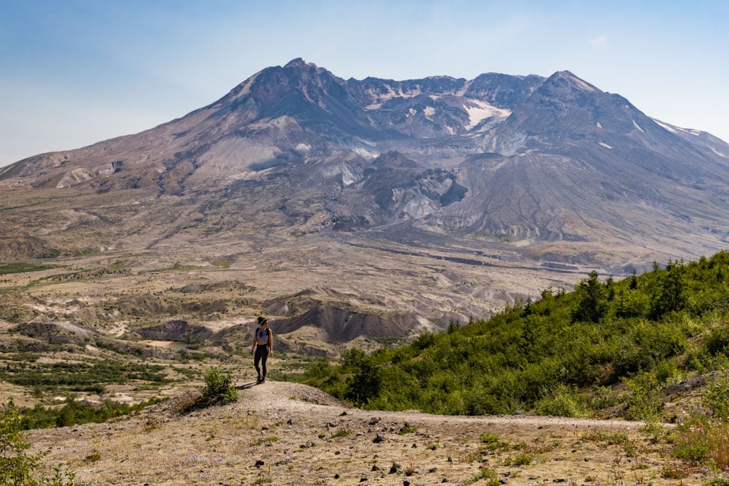
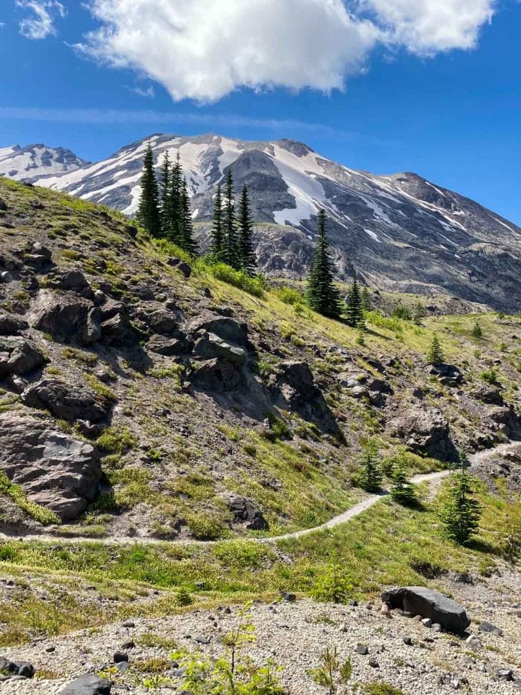
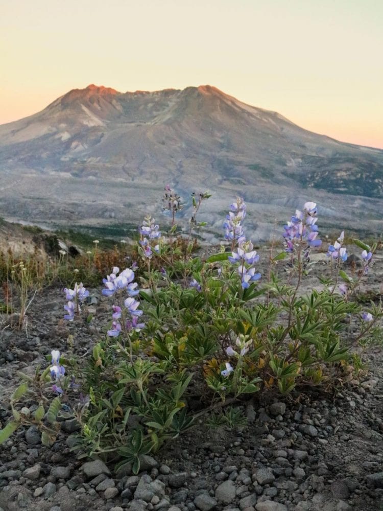
Established in 1982 and managed by the U.S. Forest Service, Mount St. Helens National Volcanic Monument is the oldest monument of its kind in the United States.
The park was created after the massive 1980 eruption of Mount St. Helens, which is known to Native Americans as Loowit, Lawetlat’la or Louwala-Clough. That eruption is still the most devastating volcanic event in U.S. history—both in number of deaths and economic destruction.
Because it was protected almost immediately after that cataclysmic eruption, the area around Mount St. Helens was able to respond to this natural disaster in a natural way.
Nowadays, you can still see thousands of fallen trees on slopes and floating in lakes, while evidence of enormous landslides and pyroclastic flows is visible all around.
The view of the blown-away crater from the Johnston Ridge Observatory is spectacular. If you’re there in late-spring or early-summer, an amazing display of wildflowers will cover the fertile valleys, slopes and ridges.
If you’re looking for a day hike at Mount St. Helens, I highly recommend the 8.5-mile round-trip Harry’s Ridge Trail.
Not technically be a “national park”—as in, managed by the National Park Service—this federal park is one of the top highlights on any road trip to the volcanoes of the Cascades. After all, Mount St. Helens is the one that erupted last, just a few decades ago.
Located between Mount Rainier and Portland, there’s no better place to see the massive power of a volcano in the Pacific Northwest than here.
List of (Other) Major Washington Volcanoes
- Mount Baker (stratovolcano)
- Glacier Peak (stratovolcano)
- Mount Rainier (stratovolcano)
- Mount St. Helens (stratovolcano)
- Mount Adams (stratovolcano)
Volcanic Parks in Oregon
Mount Hood National Forest
Volcano: Mount Hood
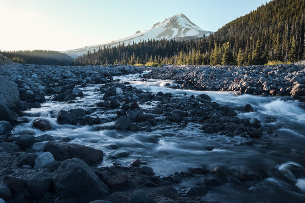
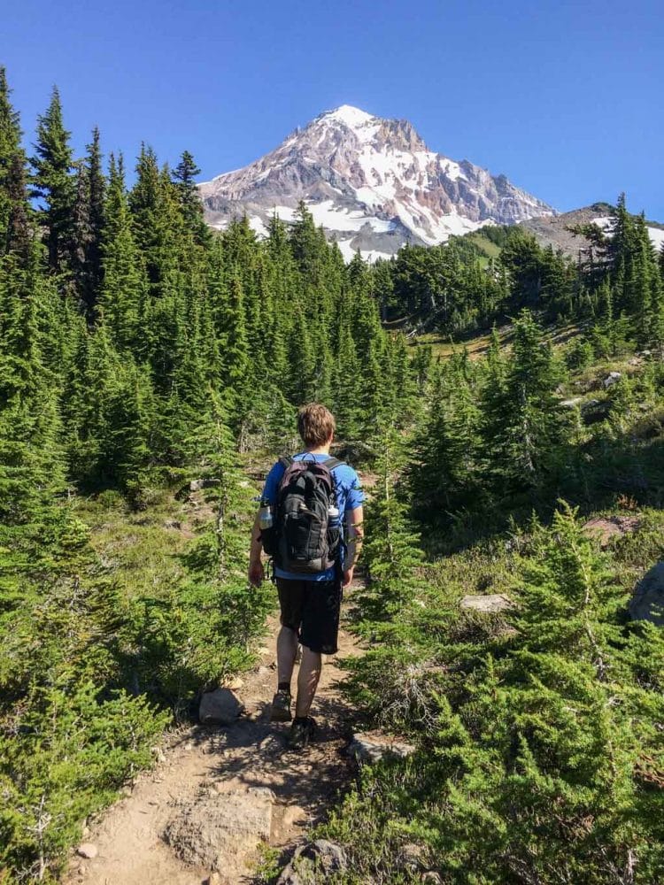
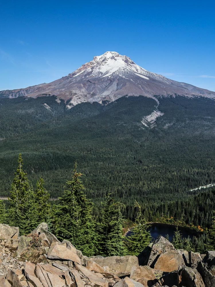
After visiting Mount St. Helens—and perhaps stopping in Portland—there are two ways to get to Mt. Hood, the highest mountain in Oregon.
Your first option is driving through the gorgeous Columbia River Gorge. On the Historic Columbia River Highway, which is America’s oldest “scenic highway”, you’ll drive past dozens of waterfalls and trailheads until you arrive at Hood River, where to route continues south.
The second option is taking the Mt. Hood Scenic Byway, which starts in Troutdale, just east of Portland. This beautiful route steadily climbs the slopes south of Mt. Hood, called Wy’east by Native Americans.
It passes by the ski resort town of Government Camp, the turnoff toward the historic Timberline Lodge, and natural attractions like Trillium Lake.
At Barlow Pass, you can hike a 1-mile path that retraces wagon-wheel ruts from Oregon Trail travelers who crossed the Cascade Mountains here in the mid-1800s.
Located just an hour outside of Portland, Mt. Hood National Forest is one America’s most visited national forests. In addition to longest ski season in the entire country, it also offers fantastic hiking, wildlife viewing, mountaineering, fishing, camping and boating.
Visit the Timberline Lodge, which was used as the hotel in Kubrick’s The Shining, and walk a section of the Timberline Trail.
Hike to the summit of Tom, Dick & Harry Mountain for amazing views of Mount Hood itself, as well as a handful of other Cascade volcanoes, including Mount Rainier, St. Helens and Jefferson. Swimming or boating in Trillium Lake is extremely popular as well.
Willamette National Forest
Volcanoes: Three Sisters, Mount Jefferson and Mount Washington
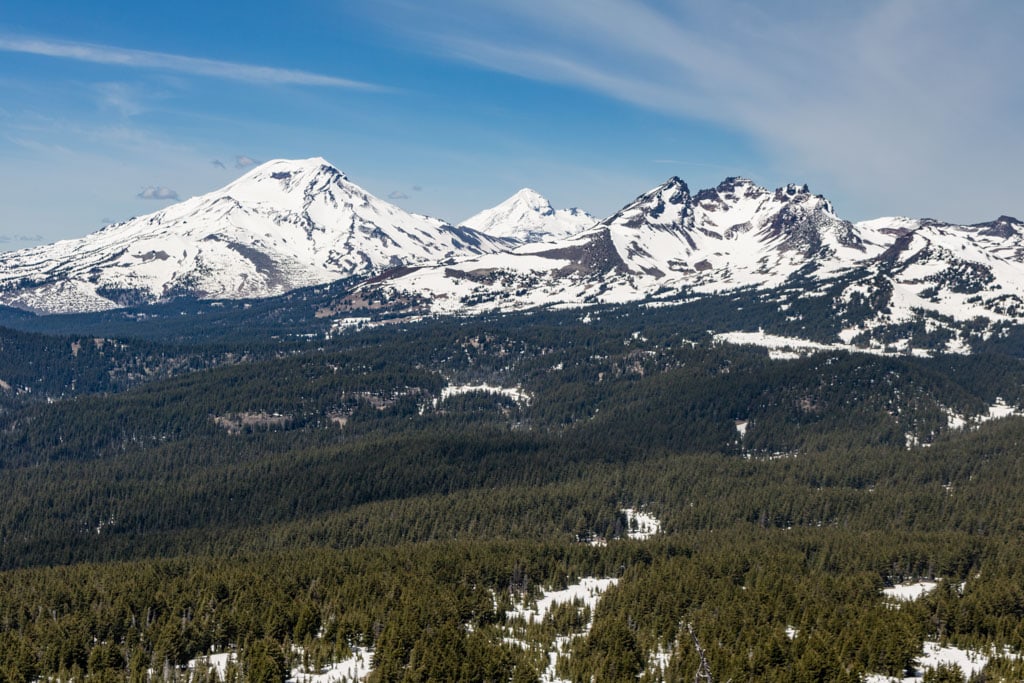
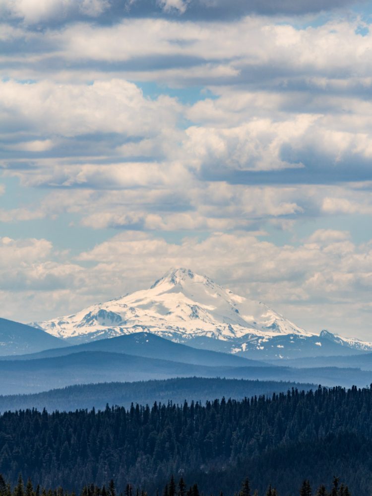
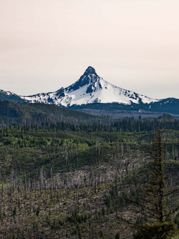
Located northwest of Bend, Willamette National Forest encompasses no fewer than eight designated wilderness areas, including the popular Three Sisters Wilderness and Mount Jefferson Wilderness.
It encompasses the headwaters of the McKenzie, Santiam and Willamette Rivers, as well as 375 lakes.
You can see no fewer than seven major volcanic peaks in Willamette National Forest, including Mount Washington, the famous Three Sisters, Three Fingered Jack, Diamond Peak and Mount Jefferson, which is Oregon’s second-highest mountain.
Two scenic driving routes runs through this large national forest: the West Cascades Scenic Byway, which starts near Mt. Hood, and the spectacular McKenzie Pass-Santiam Pass Scenic Byway, which loops around Mount Washington from the town of Sisters.
While you can spend weeks exploring this breathtaking region, on a Cascade volcanoes road trip, I’d recommend simply driving through on the two scenic byways, stopping at viewpoints and towns on the way.
Deschutes National Forest
Volcanoes: Broken Top Mountain and Mount Bachelor
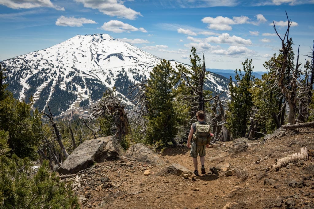
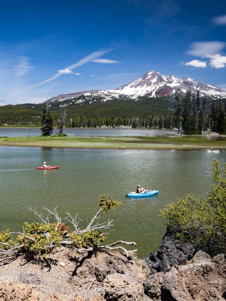
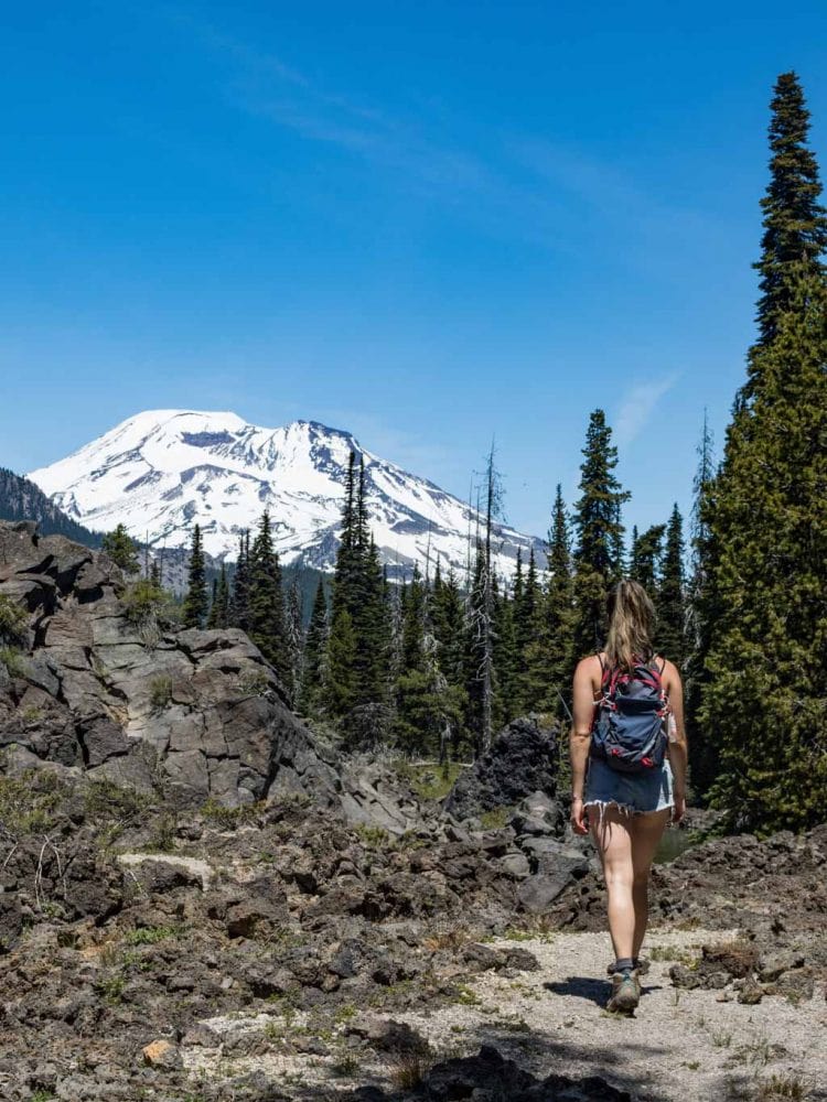
Adjacent to Willamette National Forest, Deschutes National Forest is yet another sprawling area in central Oregon. Preserving vast tracts of forests, lakes, volcanoes and mountains south(west) of Bend, it’s a dream destination for hikers, kayakers, rock climbers and other adventurists.
The absolute star attraction of this stunning area is the Cascade Lakes Scenic Byway, which runs for 66 miles from Bend to the intersection with Oregon Route 58.
On the way, you can see and enjoy a dozen gorgeous Cascade lakes, from popular Sparks Lake to Devils Lake and Elk Lake.
The route also runs past mighty Mount Bachelor, Bend’s winter sports hub. There are views of Broken Top Mountain, while I also recommend the trail up Tumalo Mountain, where epic views of Mount Bachelor and the Three Sisters await.
Newberry National Volcanic Monument
Volcanoes: Newberry Volcano
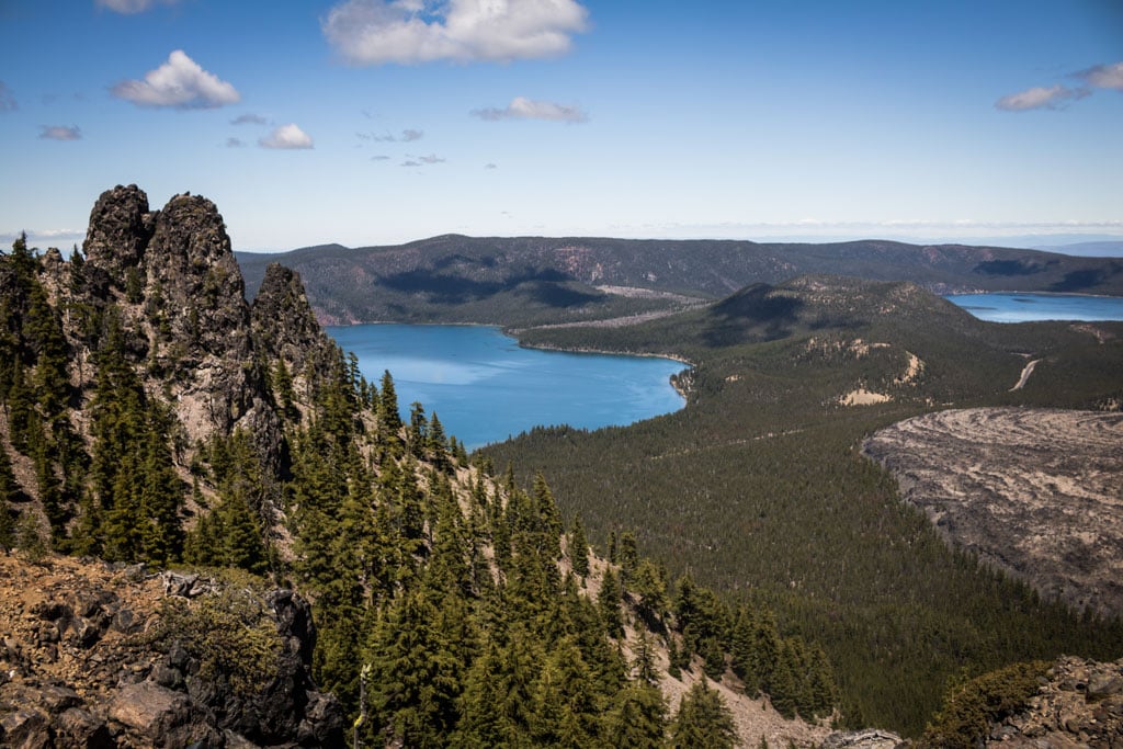
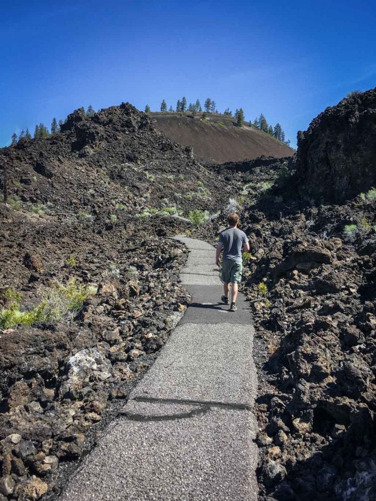
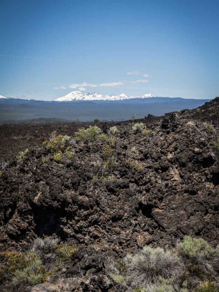
Technically a part of Deschutes National Forest, the Newberry National Volcanic Monument is so remarkable—and maybe even underrated—that I wanted to talk about it separately.
The monument protects 86 square miles of lava flows, lava caves, cinder cones, lakes and other geological features just south of Bend.
At this magnificent volcanic monument, you can explore the fascinating lava lands of central Oregon, which are centered on the gigantic Newberry Volcano, a shield volcano and the largest of all the Cascade Range volcanoes by volume.
A particularly popular place to visit is the Lava Butte cinder cone and surrounding lava fields.
The seismically and geothermically active Newberry Caldera, on the other hand, encompasses two large lakes—Paulina Lake and East Lake—, a number of campgrounds, cinder cones, the stunning Big Obsidian Flow and Paulina Peak, the monument’s highest point.
Crater Lake National Park
Volcanoes: Mount Mazama (now Crater Lake and Wizard Island)
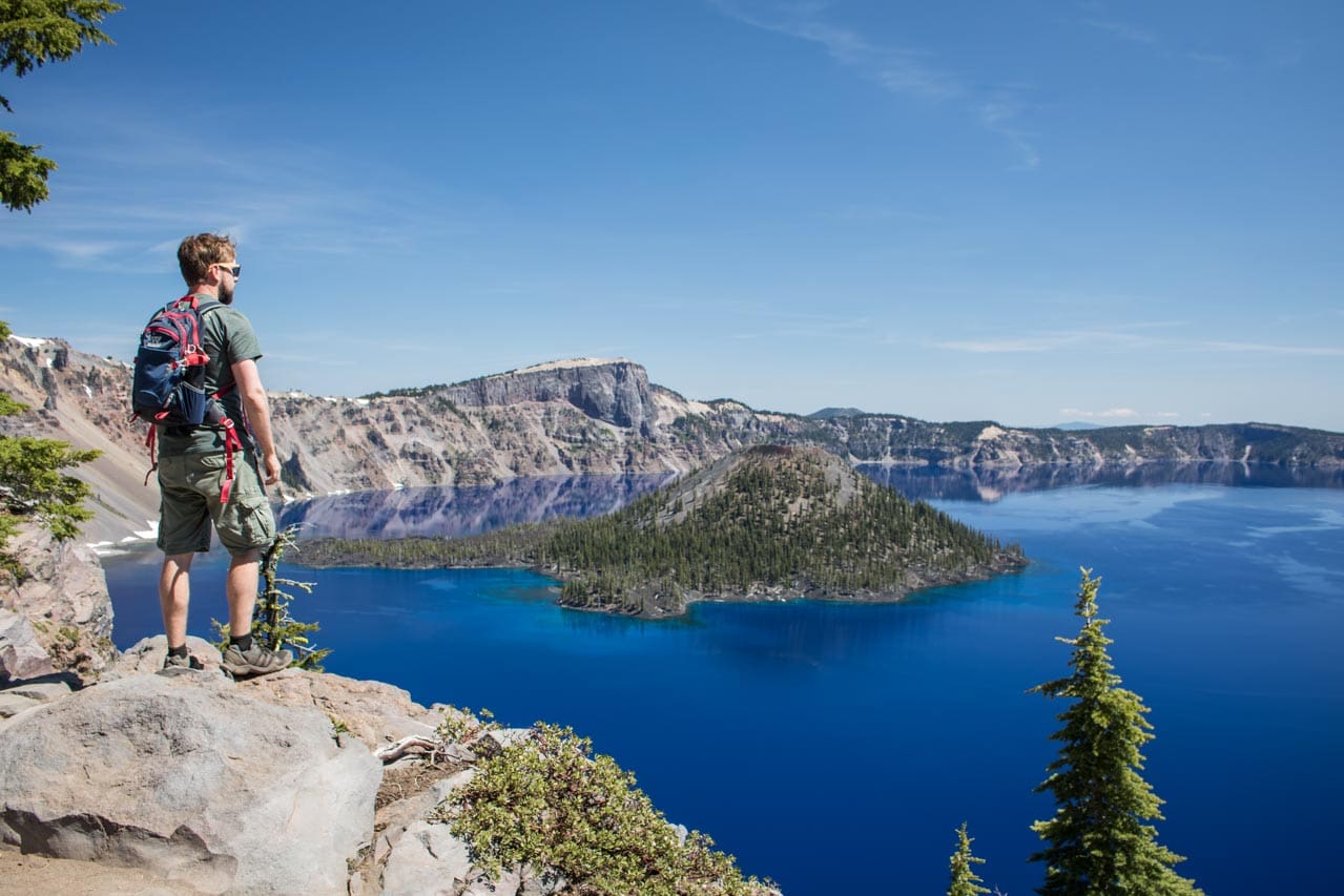
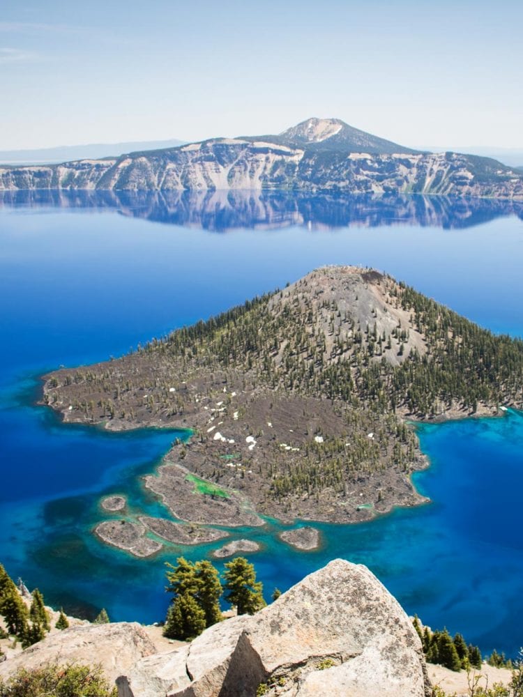
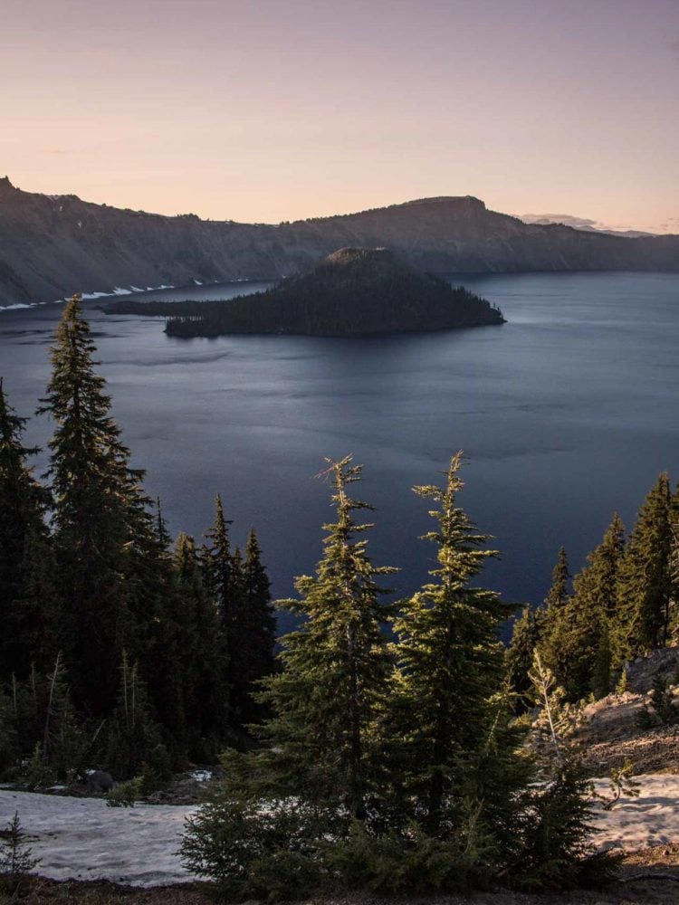
Oregon’s only national park, Crater Lake National Park is in the southern part of the state. An awe-inspiring and spectacular park, it’s centered on eponymous Crater Lake.
This water-filled caldera was created after the massive eruption and collapse of Mount Mazama, once a mighty volcano in the Pacific Northwest, about 7,700 years ago. Although its origins are almost unimaginably destructive, Crater Lake is now a prime example of peacefulness and tranquility.
Dependent entirely on rainfall and snow melt as its water sources, the lake has some of the cleanest and clearest water of any North American lake.
Additionally, Crater Lake is the deepest lake in the U.S., with an average depth of 1,943 feet (592 meters). Wizard Island, the lake’s main island, is a cinder cone volcano—a volcano within a volcano, if you will.
The water surface is usually perfectly still, too, which results in stunning reflections of the caldera walls around it.
That ripple-less water often reflects a blue sky, making it “the bluest lake on earth”, while at night it twinkles with the lights of a thousand stars.
The scenic Rim Drive encircles the entire lake, offering access to Crater Lake viewpoints and hiking trails. Historic Rim Village is home to the amazing Crater Lake Lodge, while Mazama Village down the road below has cabins, a store, gas station and large campground.
Crater Lake is the northern terminus of the amazing 500-mile Volcanic Legacy Scenic Byway. This All American Road runs south to other volcanic parks and forests, ending at Lassen Volcanic National Park in California. This is easily one of the greatest sections of a Cascade volcanoes road trip.
List of (Other) Major Oregon Volcanoes
- Mount Hood (stratovolcano)
- Mount Jefferson (stratovolcano)
- Three Fingered Jack (shield volcano)
- Mount Washington (shield volcano)
- Three Sisters (compound volcano)
- Broken Top (stratovolcano)
- Tumalo Mountain (shield volcano)
- Mount Bachelor (stratovolcano)
- Newberry Volcano (shield volcano)
- Diamond Peak (shield volcano)
- Mount Thielsen (stratovolcano)
- Crater Lake / Mount Mazama (caldera)
- Mount McLoughlin (stratovolcano)
Volcanic Parks in California
Lava Beds National Monument
Volcano: Medicine Lake Volcano
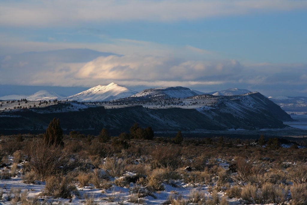
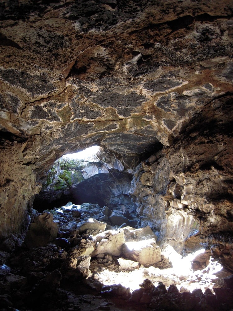
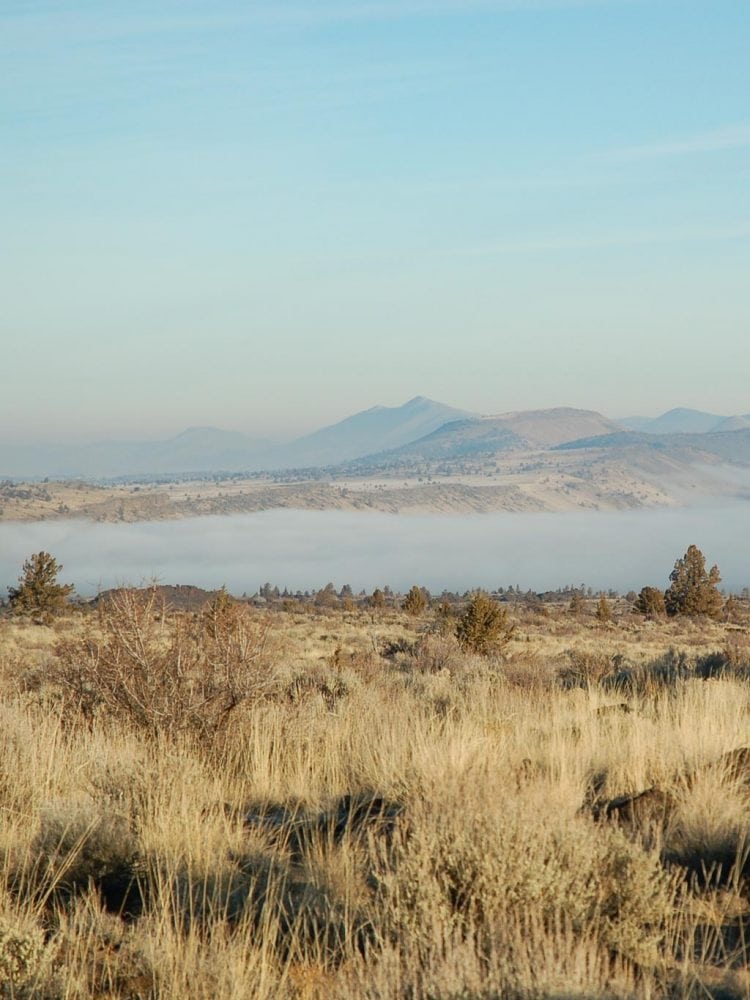
Image credits: National Park Service
Arguably the least known of the volcanic parks in the Cascade Mountains, Lava Beds National Monument is in the highest desert of northeastern California, just south of Oregon border.
Located just east of the axis of the Cascade Volcanic Arc, this park encompasses the northeastern flank of the enormous Medicine Lake Volcano. Covering over 850 square miles, it’s one of the largest volcanoes in the Pacific Northwest.
Volcanic eruptions have occurred on and off for 500,000 years here.
Unlike Mount St. Helens (see above) or Lassen Peak (see below), however, these eruptions were fairly gentle, covering the flanks of the volcano with layer after layer of basaltic lava. These geological events have created a landscape of various volcanic features.
At Lava Beds National Monument, you’ll find no fewer than 800 caves, historic battlefields, spectacular high desert wilderness and Native American rock art sites.
You can visit caves like Crystal Ice Cave and Fern Cave, go for scenic drives and hikes, and camp at one of the Pacific Northwest’s most underrated National Park Service units. After exploring Lava Beds, continue your volcano road trip south to Lassen volcanic National Park, passing imposing Mount Shasta on the way.
Lassen Volcanic National Park
Volcanoes: Lassen Peak, Cinder Cone and Brokeoff Mountain
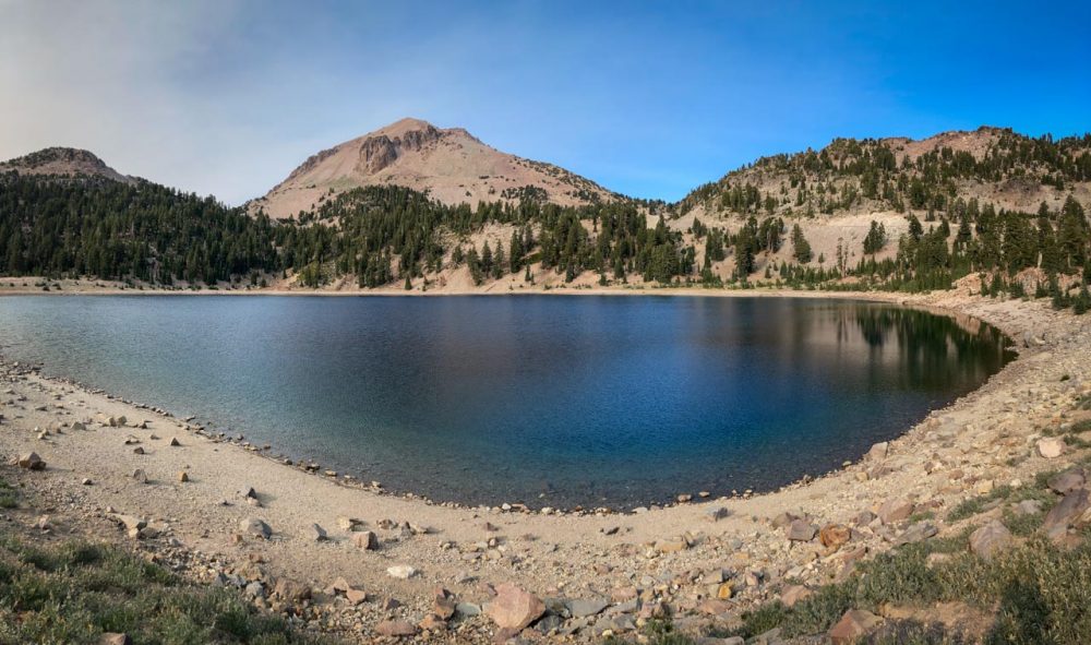
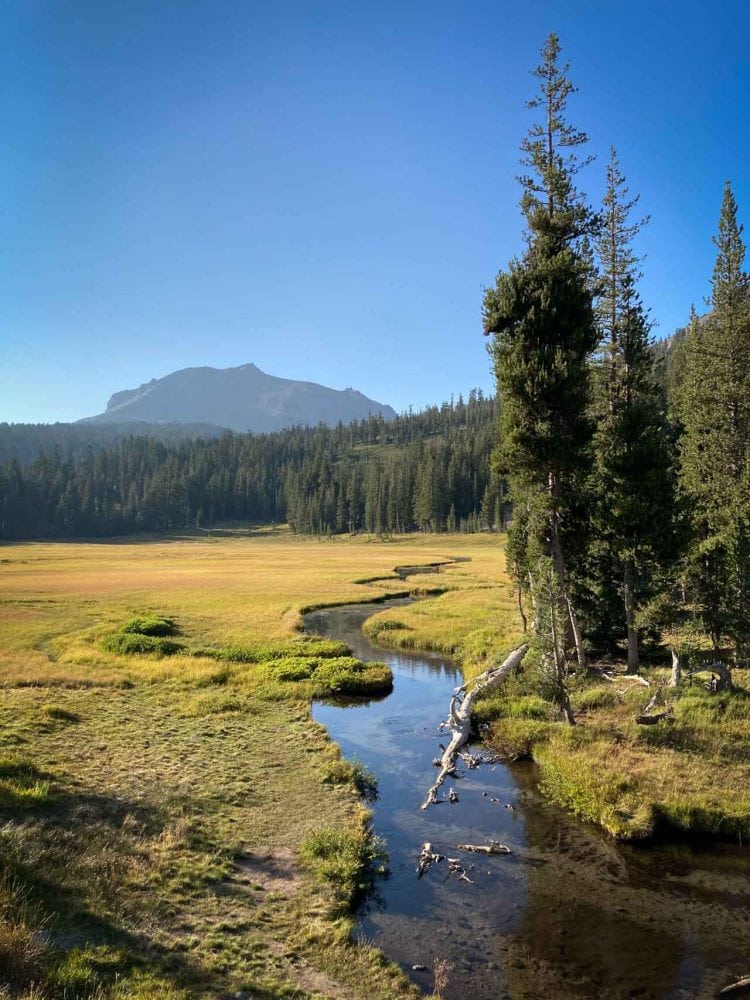
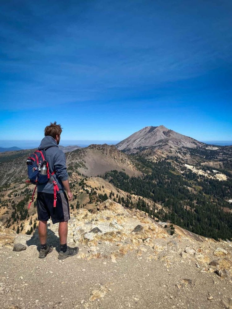
Situated at the meeting point of the Great Basin desert, the Sierra Nevada mountains and the Cascade Range volcanoes, Lassen Volcanic National Park is easily one of the most underrated national parks in California. This is the last major stop on a Cascade volcanoes road trip from Seattle to Sacramento.
Lassen Volcanic is a place of shimmering lakes, cinder cones, hydrothermal features and pristine forests. The star attraction and namesake of the park is Lassen Peak, the southernmost active volcano in the Cascade Range.
In fact, this is one of America’s most active volcanoes—its last major eruption was as recently as 1915. Along with Mount St. Helens, Lassen Peak is one of only two volcanoes to erupt in the contiguous United States in the last 200 years.
Additionally, It’s also the biggest plug dome volcano on the planet, a massive natural attraction surrounded by many smaller volcanoes, fumaroles, boiling mud pools, pristine lakes, hot springs and wildflower-filled meadows.
Lassen Volcanic National Park is exceptional for various reasons, but the most interesting one is that you’ll find every existing type of volcano here.
Stratovolcanoes, plug dome, cinder cone and shield volcanoes are all present in this gem of a park in the southern part of the Pacific Northwest.
On top of that, you can hike to a summit of each of those four types! In addition to the Lassen Peak Trail, I also strongly recommend hiking up Brokeoff Mountain and Cinder Cone.
Besides plenty of great hiking, there are many other things to do in Lassen Volcanic National Park, from boating to cycling to camping, while the night sky is amazing, too. Additionally, the park is also open in winter, offering all kinds of fun winter adventures.
List of (Other) Major California Volcanoes
- Medicine Lake Volcano (shield volcano)
- Mount Shasta (stratovolcano)
- Cinder Cone (cinder cone)
- Chaos Crags (plug dome)
- Lassen Peak (plug dome)
- Mount Tehama / Brokeoff Mountain (stratovolcano)
Cascade Volcanoes Map
