10 Wonderful Waterfall Hikes in the National Parks
In the heat of summer, waterfall hikes are among the most enjoyable and popular activities in the national parks, especially if the waterfall also happens to have a swimming hole.
In spring and fall, too, waterfall hikes in national parks are among the most popular things to do across the National Park System.
Below, you’ll find a wonderful selection of the best waterfall hikes in America’s national parks, from the East Coast to the Rocky Mountains, Pacific Northwest and Hawaii.
10 Wonderful Waterfall Hikes in the National Parks
This article featuring amazing national park waterfall hikes contains affiliate links. You can read more about our Terms of Use / Disclosure here.
1. St. Mary and Virginia Falls Trail, Glacier National Park
There are few day hikes in Glacier National Park that lead to waterfalls, but none are as great as the St. Mary and Virginia Falls Trail. Depending on where you start this hike near the head of St. Mary Lake, distances vary.
The most direct routes to St. Mary Falls and Virginia Falls start at the St. Mary Falls Shuttle Stop or Trailhead on the Going-to-the-Sun Road.
The total distance from these starting points is respectively 3.2 and 3.6 miles. (Other places where you can start this hike are Sunrift Gorge and Sun Point, both of which add several miles to its total distance.)
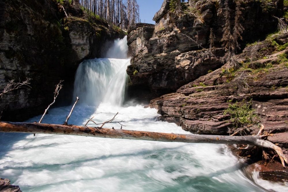
From either the shuttle stop or trailhead, this fairly easy hike in Glacier National Park first descends about 1 mile toward St. Mary Falls, a picturesque multi-tiered waterfall in a small gorge. On a hot summer’s day, you’ll certainly relish the cooler temperatures at the falls.
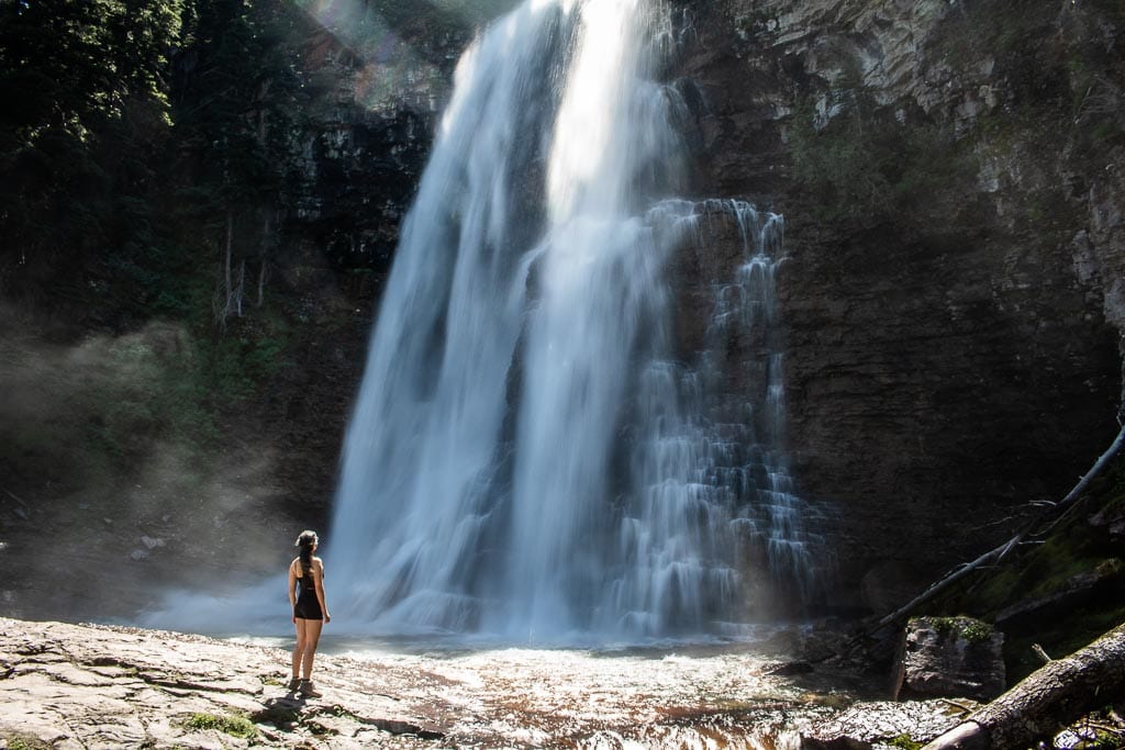
Cross the wooden bridge across the stream and climb about 0.7 miles to beautiful Virginia Falls. This large and wide waterfall makes for a great picnic spot.
Often windy, there’s a constant spray of droplets coming from the waterfall, a welcome way to cool off when it’s hot.
- Total distance: 3.2 to 3.6 miles (out and back)
- Duration: 2 hours
- Difficulty: Easy to moderate
- Trailhead: St. Mary Falls Trail or Shuttle Stop on the Going-to-the-Sun Road
Other Glacier National Park waterfall hikes:
- Fishercap Lake and Red Rock Falls Trail (3.6 miles, out and back)
- Apikuni Falls Trail (1.8 miles, out and back)
- Ptarmigan Falls Trail (5 miles, out and back)
- Baring Falls Trail (1.9 miles, out and back—can be combined with the St. Mary and Virginia Falls Trail)
More About Glacier National Park
- Park Website
- Travel Guide
- Topographic Map
- Best Glacier Hikes
- Top Attractions on Going-to-the-Sun Road
- Where to See Wildlife in Glacier National Park
- Accommodation
2. Kings Creek Falls Trail, Lassen Volcanic National Park
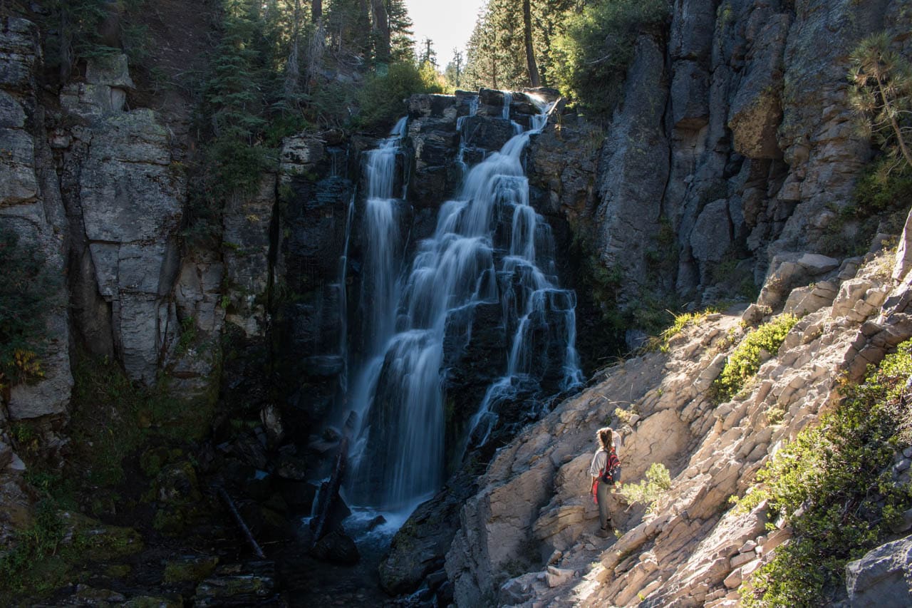
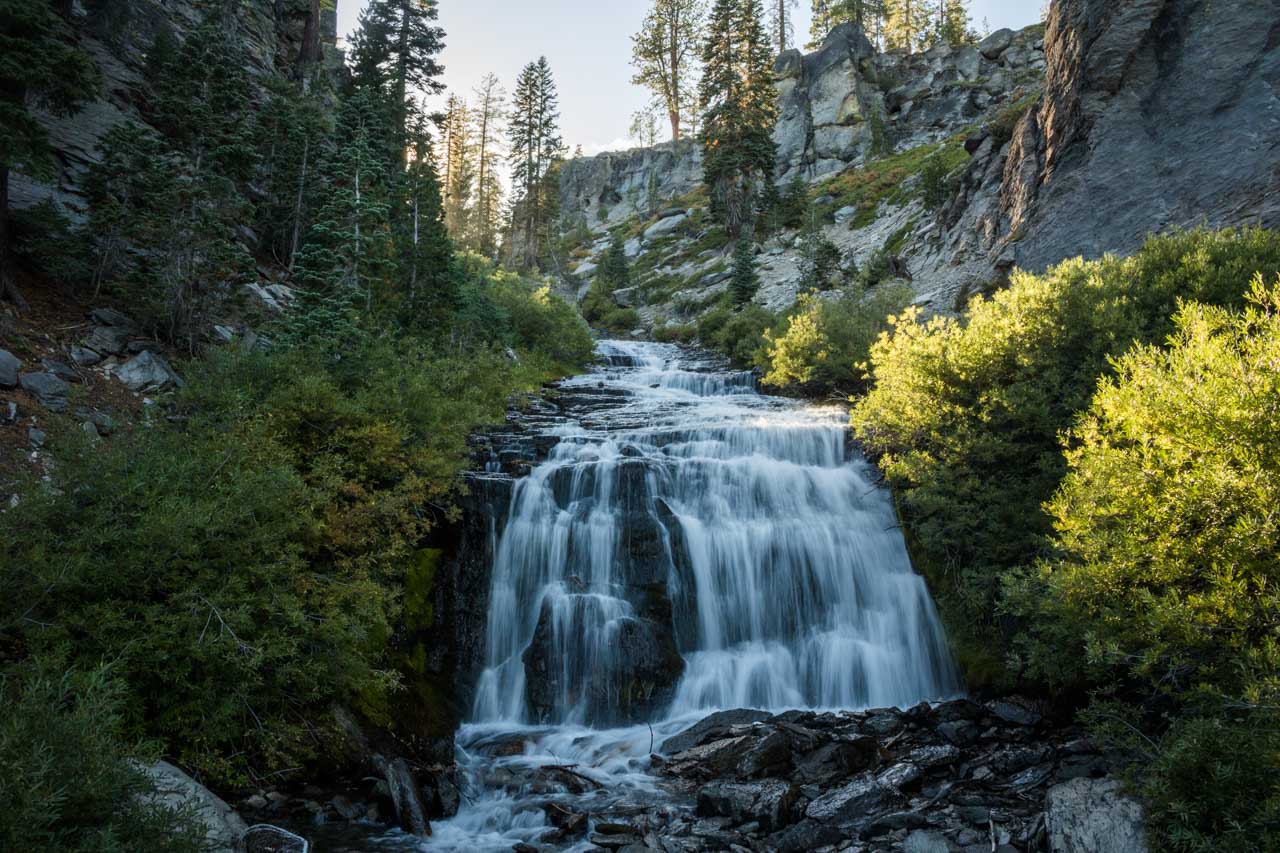
One of the best hikes in Lassen Volcanic National Park, Kings Creek Falls is a beautiful 30-foot waterfall in a spectacular canyon. This loop hike is 3 miles long, starting from a parking lot on the Lassen Volcanic Highway.
The first half mile takes you along scenic Lower Kings Creek Meadows, after which the trail descends gradually toward Kings Creek Falls.
There are a couple of viewing platforms at the top, but it’s also possible to scramble down to the base of the waterfall for up-close views.
As amazing as this Lassen Volcanic National Park waterfall itself is, the route back up is even more impressive. On this Cascades Foot Trail section, you climb through a stunning canyon on a gravel path and stone staircases.
Kings Creek tumbles and cascades down the canyon, flanked by sheer rock walls on both sides. Depending on the time of year you’re doing this national park waterfall hikes, the area may feature colorful wildflowers.
Typical wildlife you can encounter includes mule deer and Clark’s nutcrackers. Black bears are sometimes seen in and around Kings Creek Meadows.
- Total distance: 3 miles (loop)
- Duration: 1.5 hours
- Difficulty: Moderate
- Trailhead: Kings Creek Trailhead Parking Lot on the Lassen Volcanic Highway
More About Lassen Volcanic National Park
- Park Website
- Travel Guide
- Topographic Map
- Best Lassen Volcanic Hikes
- Top Things To Do in Lassen Volcanic National Park
- Accommodation
3. Sol Duc Falls Trail, Olympic National Park
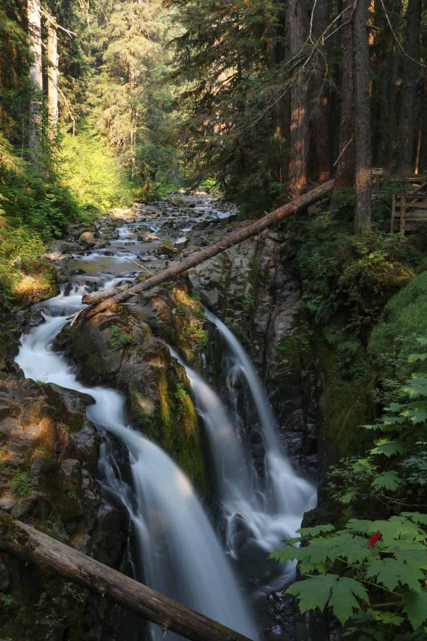
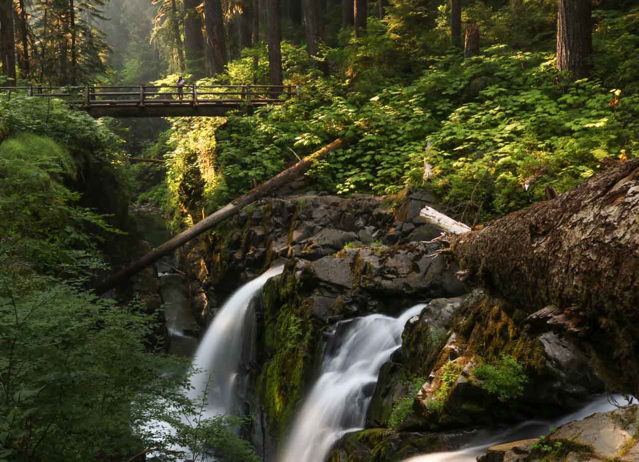
The Sol Duc Valley is in the northern foothills of the Olympic Mountains in Olympic National Park, a verdant valley home to subalpine lakes, old-growth forests and the fast-flowing Sol Duc River.
The heart of this area is the Sol Duc Hot Springs Resort, one of several lodges in Olympic National Park. It offers accommodation, dining, mineral pool bathing and massage treatments.
This is also the starting point of the so-called Lover’s Lane Loop, which links the Resort, the Sol Duc Campground and beautiful Sol Duc Falls. This loop is 5.8 miles long.
For a shorter and easier trail to get to Sol Duc Falls, you can hike the 0.8-mile one-way Sol Duc Falls Trail. The trailhead is at the end of Sol Duc Road.
This stunning forested area is one of my favorite places in the entire park, while Sol Duc Falls is one of the most beautiful waterfalls in the National Parks System. And as far as easy hikes in Olympic National Park go, this one is easily in my top three.
- Total distance: 1.6 miles (out and back) from the end of the Sol Duc Road or 5.8 miles (loop) from Sol Duc Hot Springs Resort
- Duration: 1 to 3 hours
- Difficulty: Easy
- Trailhead: At the end of Sol Duc Road or Sol Duc Hot Spring Resort
Other Olympic National Park waterfall hikes:
- Marymere Falls Trail (1.8 miles, out and back)
More About Olympic National Park
- Park Website
- Travel Guide
- Topographic Map
- Best Olympic Hikes
- Top Things To Do in Olympic National Park
- Accommodation
4. Jenny Lake Trail to Hidden Falls, Grand Teton National Park
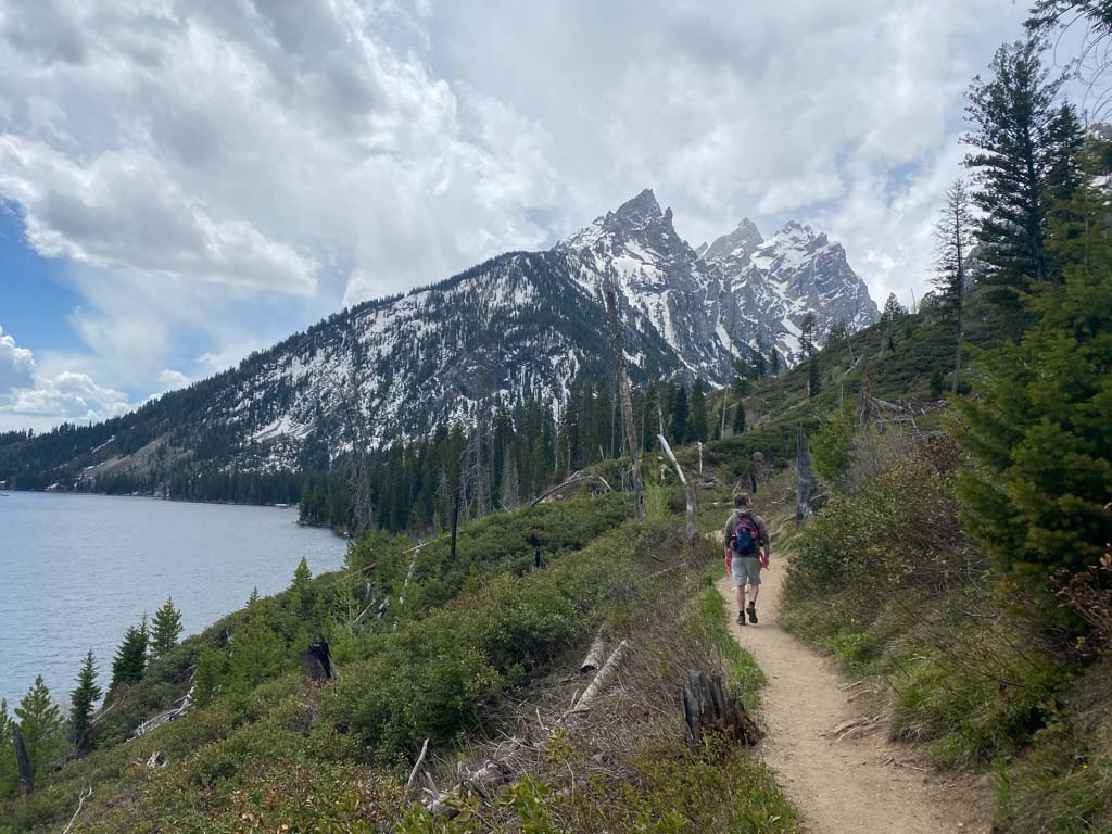
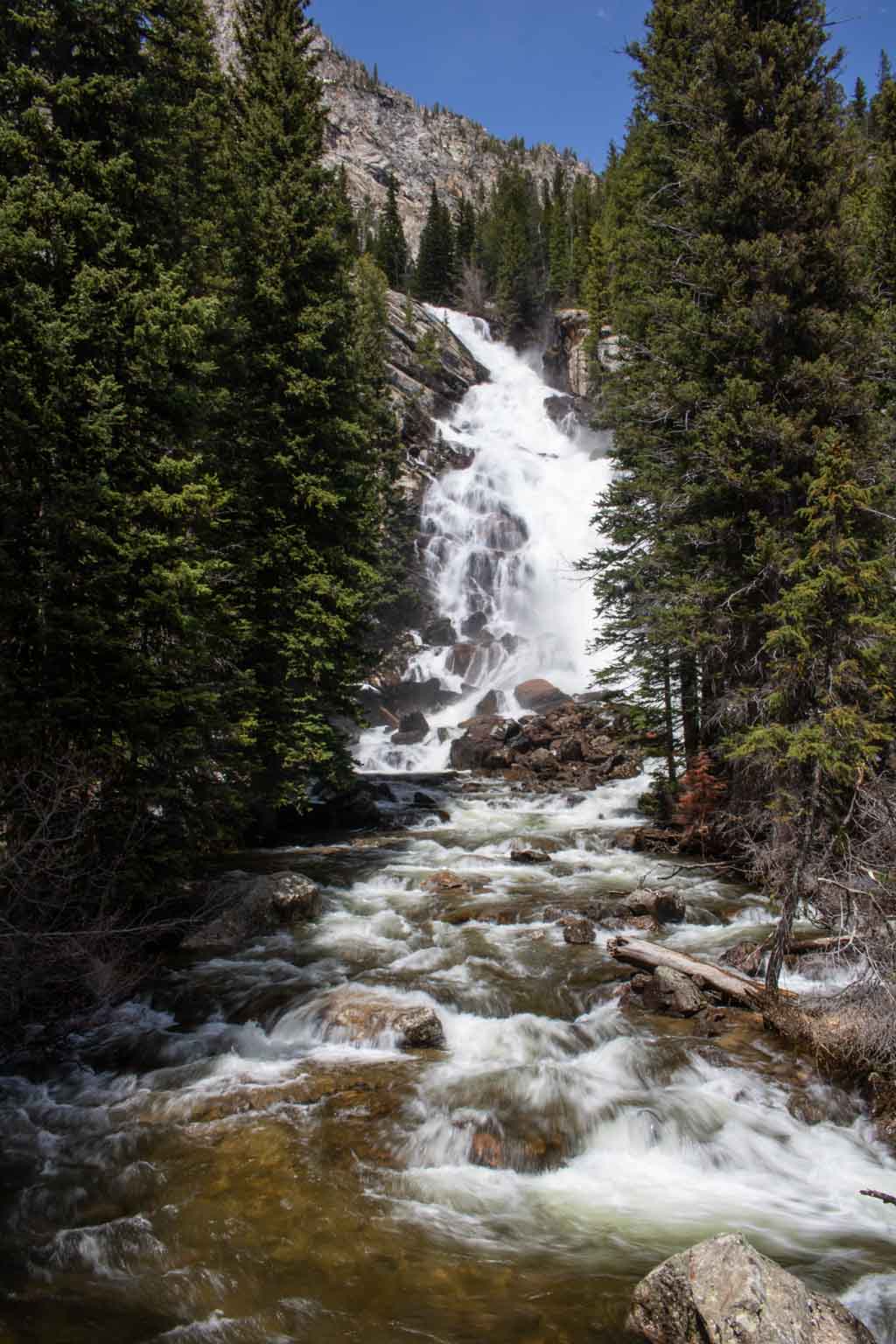
The hike to Hidden Falls is one of the most popular easy hikes in Grand Teton National Park. The only accessible Grand Teton National Park waterfall, Hidden Falls is a 100-foot cascade above the west shore of Jenny Lake.
From the lakeshore, the trail climbs approximately 200 feet to the waterfall, which relies on snowmelt high up in the Tetons as its primary water source.
You have two options to get to Hidden Falls. The easiest is taking the Jenny Lake shuttle from the Jenny Lake Visitor Center across the lake to the trailhead on the west shore. This roundtrip hike is 1 mile.
Option number two is hiking along the lake’s south shore, also from the Jenny Lake Visitor Center. This there-and-back hike is 4.8 miles roundtrip. Alternatively, you can combine both options, too, hiking one way and taking the shuttle back (or vice versa).
Yet another option is hiking the Jenny Lake Trail around the lake’s northern shore, which is longer, more remote and arguably more scenic. Keep your eyes out for bears and moose in this area, though.
Additionally, an extra 0.5 miles past Hidden Falls, you’ll find Inspiration Point, a popular overlook high above the west shore of Jenny Lake.
- Total distance: 1 mile (out and back with the Jenny Lake shuttle) / 4.8 miles (out and back via the Jenny Lake Loop Trail)
- Duration: 1 to 3 hours
- Difficulty: Easy
- Trailhead: Jenny Lake Visitor Center
More About Grand Teton National Park
- Park Website
- Travel Guide
- Topographic Map
- Best Grand Teton Hikes
- Top Things To Do in Grand Teton National Park
- Where to See Wildlife in Grand Teton National Park
- Accommodation
5. Brink of the Lower Falls Trail, Yellowstone National Park
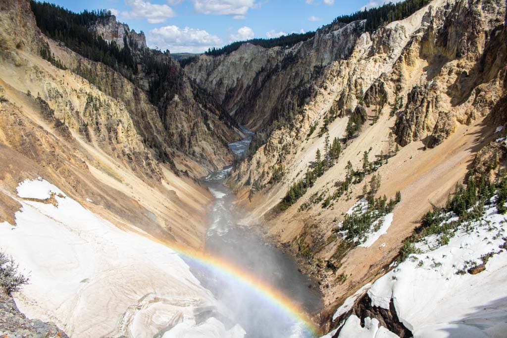
The Grand Canyon of the Yellowstone is one of the absolute highlights of a visit to Yellowstone National Park. Its magnificent yellow colors, sheer depth, cliffside fumaroles and waterfalls make this of the most famous locations in America’s National Parks System.
The star of the show is the Lower Falls of the Yellowstone River, which is visible from several viewpoints on both rims of the canyon, all of which are easily accessible on the North Rim and South Rim Drives.
To see this awe-inspiring 308-foot waterfall—twice as high as Niagara Falls!—I recommend hiking the short but very steep Brink of the Lower Falls Trail on the North Rim.
Although only 0.7 miles roundtrip, this waterfall hike brings you to a spectacular viewpoint at the top of the Lower Falls. You can literally see the Yellowstone River plunge into its own Grand Canyon right before you.
If you’re lucky, you can see a rainbow in the canyon, created by sunlight reflected in the spray of the falling water.
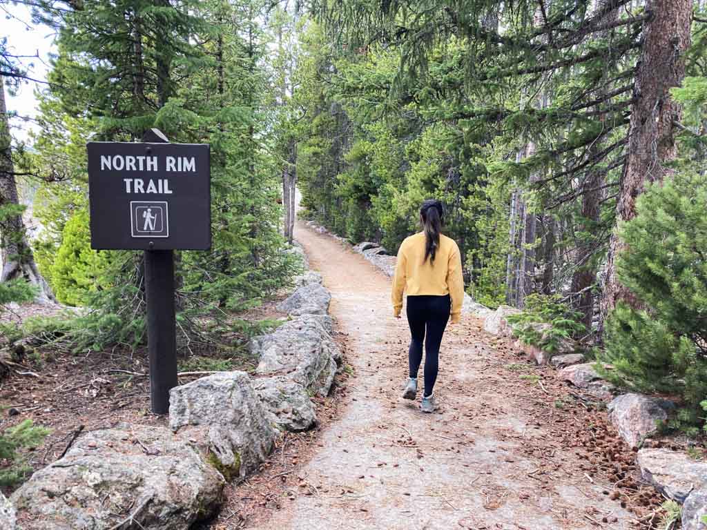
Other recommended North Rim overlooks are Lookout Point and Red Rock Point, both of which provide sensation views of the Lower Falls as well. Both are accessible via the excellent North Rim Trail.
- Total distance: 0.7 miles (out and back)
- Duration: 1 hour
- Difficulty: Strenuous
- Trailhead: Brink of the Lower Falls Parking Area on the North Rim Drive
Other waterfall hikes in Yellowstone National Park:
- Fairy Falls Trail (4.8 miles, out and back)
- Mystic Falls Trail (2.4 miles, out and back)
More About Yellowstone National Park
- Park Website
- Travel Guide
- Topographic Map
- Top Things To Do in Yellowstone National Park
- Where to See Wildlife in Yellowstone National Park
- Accommodation
6. Doyles River – Jones Run Falls, Shenandoah National Park
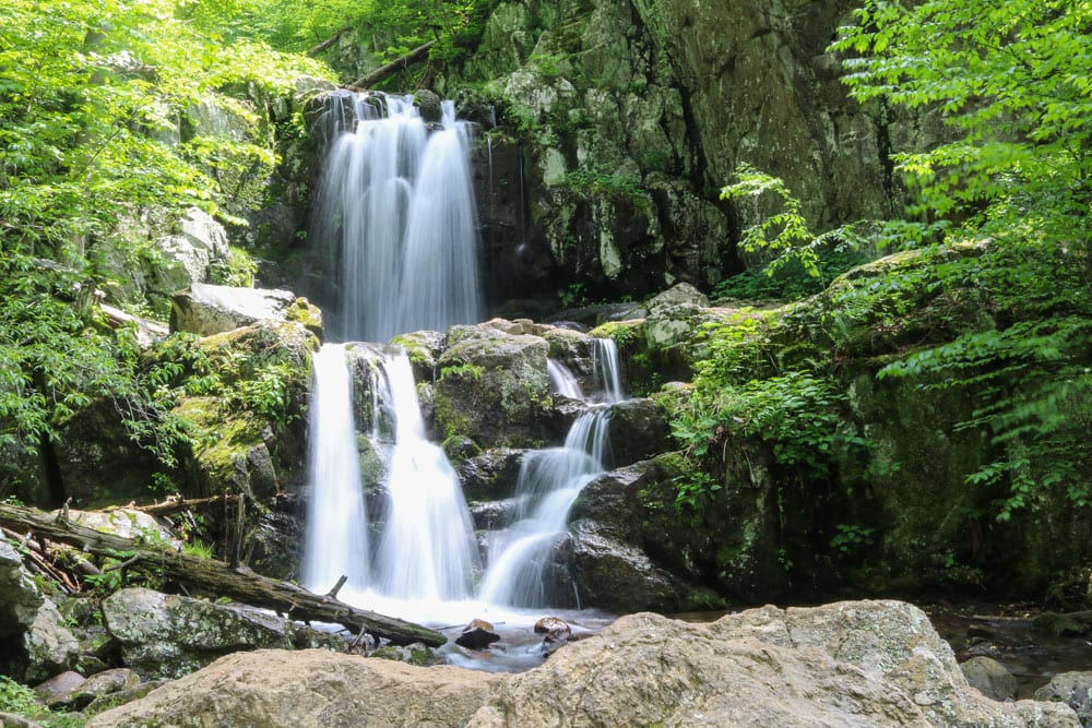
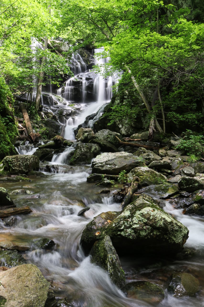
In spring and early summer, the Doyles River – Jones Run Loop is one of the absolute best day hikes in Shenandoah National Park.
Even though none of the waterfalls on this hike are extraordinarily tall, large or spectacular, it’s the setting and scenery that set this hike apart from the other Shenandoah National Park waterfall hikes.
Starting at Mile 81.1 on Skyline Drive, this amazing 7.8-mile loop hike includes a few gorgeous waterfalls in Doyles River and one particularly scenic one in Jones Run.
There are numerous swimming holes along the way, too, making this a fantastic hike on a balmy day in summer.
However, the best time of year for this hike is spring. When meltwater feeds the streams of the Blue Ridge, these cascades grow exponentially in size and are at their most beautiful.
- Total distance: 7.8 miles (loop)
- Duration: 4 hours
- Difficulty: Strenuous
- Trailhead: Doyles River Parking Lot on Skyline Drive, Mile 81.1
Other Shenandoah National Park waterfall hikes:
- South River Falls Trail (4.4 miles, out and back)
- Whiteoak Canyon Trail (6+ miles, out and back)
- Dark Hollow Falls Trail (1.4 miles, out and back)
- Rose River Falls Loop (4 miles, loop)
More About Shenandoah National Park
- Park Website
- Travel Guide
- Topographic Map
- Best Shenandoah Hikes
- Top Things To Do in Shenandoah National Park
- Where to See Wildlife in Shenandoah National Park
- Viewpoints
- Accommodation
7. Pipiwai Trail to Waimoku Falls, Haleakalā National Park

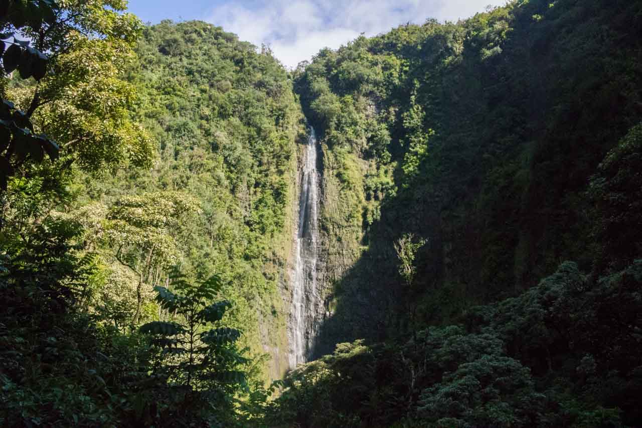
The Pipiwai Trail is the longest hiking trail in Haleakalā National Park’s Kīpahulu Area, and the one with the most variety.
Unlike the park’s barren Summit Area, which encompasses the jaw-dropping and desert-like Haleakalā Crater, this area boasts lush rain forests, stunning coastlines and, yes, waterfalls.
Starting at the Kīpahulu Visitor Center, the Pipiwai Trail meanders for 2 miles through a verdant and very humid rain forest, past the Makahiku Overlook, and through a stunning bamboo forest.
The ultimate destination on this fun Haleakalā hike is Waimoku Falls, a beautiful waterfall that drops 400 feet down a sheer cliff. This is an iconic day hike in Maui, reachable via the long, narrow and incredibly winding Road to Hana.
The roundtrip hike is 4 miles long, so count on about 2 hours.
- Total distance: 4 miles (out and back)
- Duration: 2 hours
- Difficulty: Moderate
- Trailhead: Kīpahulu Visitor Center
More About Haleakalā National Park
- Park Website
- Travel Guide
- Topographic Map
- Best Haleakalā Hikes
- Top Things To Do in Haleakalā National Park
- Accommodation
8. Skyline Trail Loop, Mount Rainier National Park
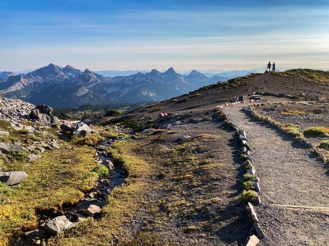
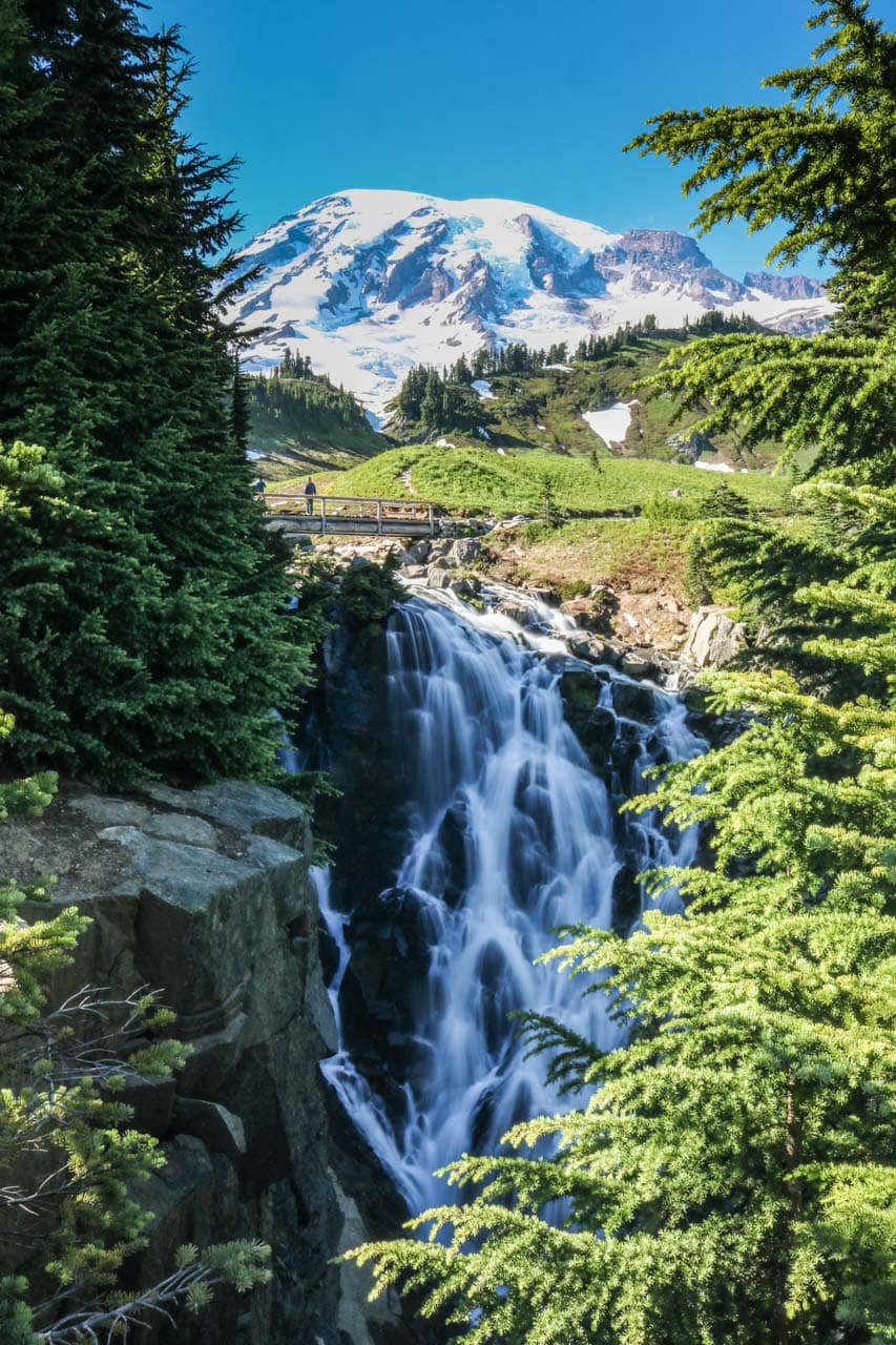
The phenomenal 5.5-mile Skyline Trail Loop starts at the Jackson Visitor Center at Paradise, behind the iconic Paradise Inn.
The trail climbs 1,700 feet to well above the tree line. In summer, the Skyline Trail is where you need to be for the best wildflower viewing at Mount Rainier.
You’ll walk through gorgeous subalpine meadows filled with all kinds of flowers, including magenta paintbrush, lupines and avalanche lilies.
In fall, the meadows and slopes along the Skyline Trail turn into a beautiful palette of oranges and reds, as the abundant huckleberries and other shrubs change color.
Other major highlights on this hike are the massive Nisqually Glacier and Panorama Point, which offers breathtaking panoramic views of the Cascade Range. The vista includes several other volcanoes, such as Mount Adams and even Mt. Hood all the way to the south.
If you walk the Skyline Trail Loop in a clockwise direction, which I recommend, you’ll save the best for last.
Although the subalpine flowers and breathtaking vistas are undeniably amazing, it’s Myrtle Falls that really sets this Mount Rainier National Park hike apart from all the rest.
This postcard-perfect waterfall is a scene that seems too good to be real. Surrounded by verdant mountain meadows, backed by an unobstructed view of Mount Rainier itself, it’s incredibly photogenic.
Probably the most spectacular of the many waterfalls in Mount Rainier National Park, Myrtle Falls makes the Skyline Trail Loop one of the absolute best national park waterfall hikes.
- Total distance: 5.5 miles (loop)
- Duration: 4 hours
- Difficulty: Strenuous
- Trailhead: Jackson Visitor Center at Paradise
Other Mount Rainier National Park waterfall hikes:
- Silver Falls Trail (3 miles, loop)
- Comet Falls Trail (3.8 miles, out and back)
More About Mount Rainier National Park
- Park Website
- Travel Guide
- Topographic Map
- Best Mount Rainier Hikes
- Top Things To Do in Mount Rainier National Park
- Viewpoints
- Accommodation
9. Plaikni Falls Trail, Crater Lake National Park

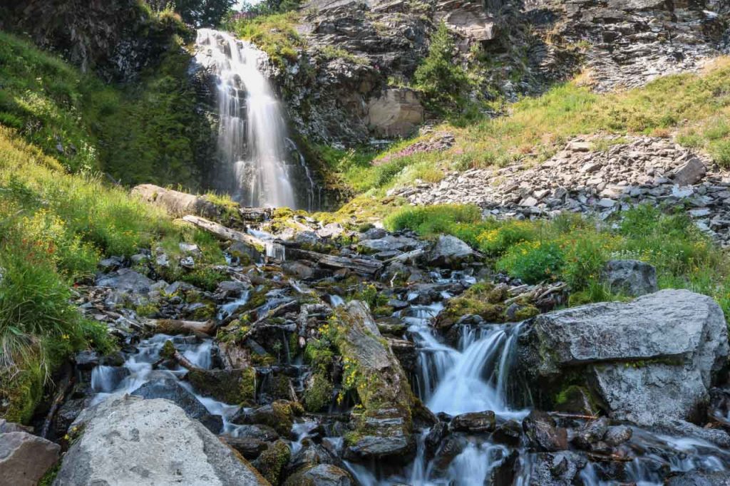
The Plaikni Falls Trail is one of my personal favorite Crater Lake hikes. I consider this to be one of Crater Lake National Park’s greatest hidden gems, a fun walk through an old-growth forest to a stunning waterfall.
The hike to Plaikni Falls is fairly easy. Most of its 1-mile length is more or less flat, with only the very last part toward the falls being a bit steeper. It’s a great waterfall hike to do with children.
In mid-summer, the verdant area below and around the waterfall is covered with all kinds of wildflowers, creating an incredibly lush and picturesque scene.
Fun fact: Plaikni Falls does not get its water from Crater Lake above. Instead, the source of this waterfall is snowmelt.
- Total distance: 2 miles (out and back)
- Duration: 1 hour
- Difficulty: Easy
- Trailhead: Just over 1 mile down Pinnacles Road from the Phantom Ship Overlook on the Rim Drive
More About Crater Lake National Park
- Park Website
- Travel Guide
- Topographic Map
- Best Crater Lake Hikes
- Top Things To Do in Crater Lake National Park
- Viewpoints
- Accommodation
10. Brandywine Gorge Loop, Cuyahoga Valley National Park
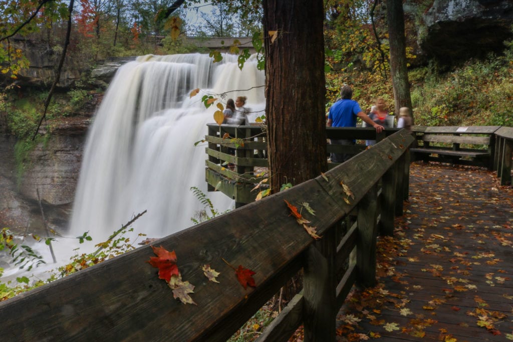
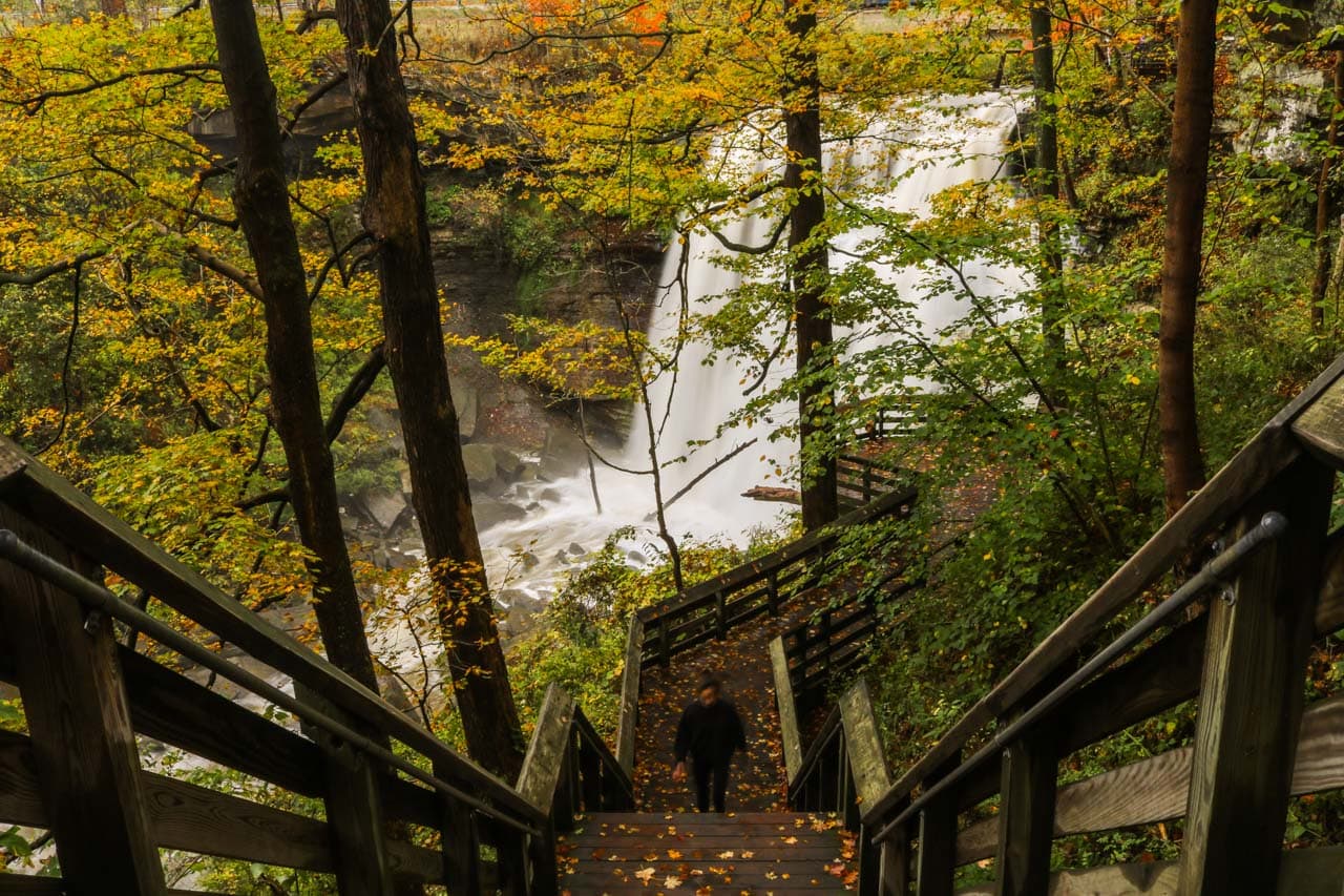
When the sun rises after a nightly rain shower in fall, Brandywine Falls is one of the most photogenic locations in Cuyahoga Valley National Park.
Sunrays reflected in rain drops and the waterfall thundering over the cliff, this is a great place to enjoy the peaceful scenery in Cuyahoga Valley National Park.
This 60-foot waterfall is the centerpiece of the “falls area”, once the site of a village powered by the waterfall’s rushing waters. Later, waterpower provided energy for industry and, later still, supported an artist’s colony.
You can walk the short boardwalk down to the lower viewing platform right away, but I recommend hiking the pleasantly moderate 1.4-mile Brandywine Gorge Loop first, saving this impressive waterfall as a reward.
- Total distance: 1.4 miles (loop)
- Duration: 1 hour
- Difficulty: Easy
- Trailhead: Brandywine Falls Trailhead
Other Cuyahoga Valley National Park waterfall hikes:
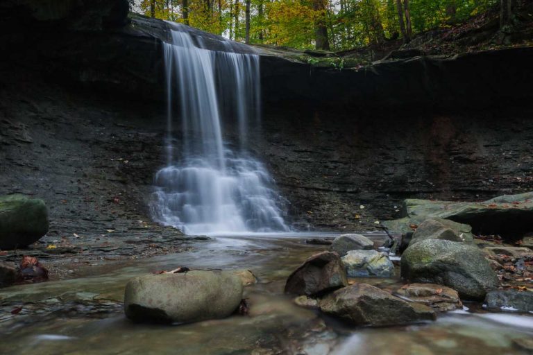
- Blue Hen Falls Trail (3 miles out and back)
More About Cuyahoga Valley National Park
More Amazing Waterfall Hikes in the National Parks
Some of you might have noticed that some of the most popular and famous waterfall hikes in the national parks aren’t included in the list above.
The reason for that is simple: although we’re totally aware of how amazing they are, we haven’t done them ourselves.
We’ll add them to the list once we’ve experienced those hikes ourselves. Some examples of the waterfall hikes “missing” from the list are:
- Brooks Falls Trail, Katmai National Park
- Yosemite Falls Trail, Yosemite National Park
- Laurel Falls Trail, Great Smoky Mountains National Park

